Burkittsville in Frederick County, Maryland — The American Northeast (Mid-Atlantic)
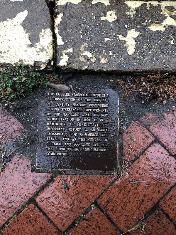
Cobbled Stagecoach Stop
Topics. This historical marker is listed in these topic lists: Agriculture • Industry & Commerce • Roads & Vehicles • Settlements & Settlers.
Location. 39° 23.642′ N, 77° 37.774′ W. Marker is in Burkittsville, Maryland, in Frederick County. Marker is on West Main Street just north of Burkittsville Road (Maryland Route 17), on the right when traveling north. Touch for map. Marker is at or near this postal address: 2 West Main Street, Burkittsville MD 21718, United States of America. Touch for directions.
Other nearby markers. At least 8 other markers are within walking distance of this marker. Burkittsville (within shouting distance of this marker); Confederate Forces (approx. 0.4 miles away); “Sealed With Their Lives” (approx. 0.7 miles away); Burkittsville: Henry Burkitt’s Town (approx. 0.7 miles away); Chew’s Ashby Artillery (approx. 0.7 miles away); The Confusion of Battle (approx. 0.9 miles away); Cobb's Georgia Legion (approx. 0.9 miles away); Gath's Empty Tomb (approx. 0.9 miles away). Touch for a list and map of all markers in Burkittsville.

Photographed By Devry Becker Jones (CC0), December 29, 2019
2. Cobbled Stagecoach Stop Marker
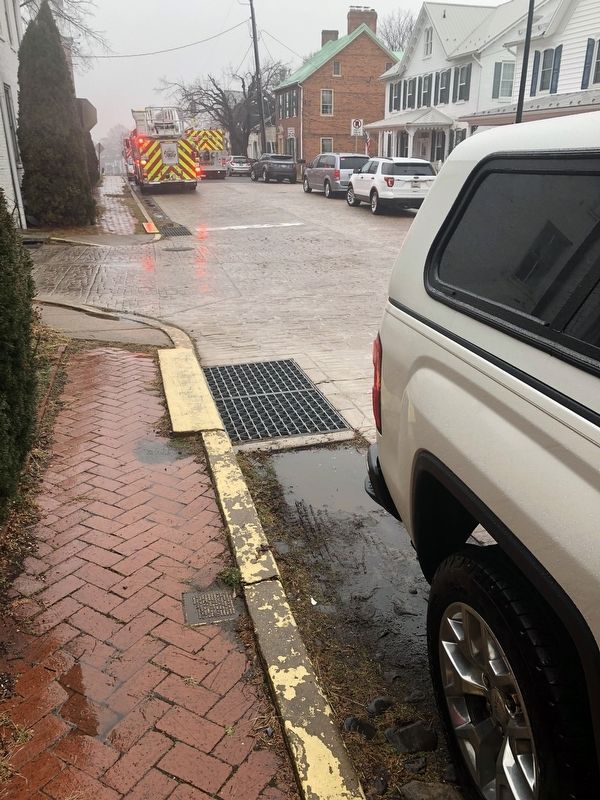
The marker is embedded in the sidewalk toward the bottom of this photo.
Credits. This page was last revised on December 29, 2019. It was originally submitted on December 29, 2019, by Devry Becker Jones of Washington, District of Columbia. This page has been viewed 202 times since then and 15 times this year. Photos: 1, 2. submitted on December 29, 2019, by Devry Becker Jones of Washington, District of Columbia.
