Vandalia in Fayette County, Illinois — The American Midwest (Great Lakes)
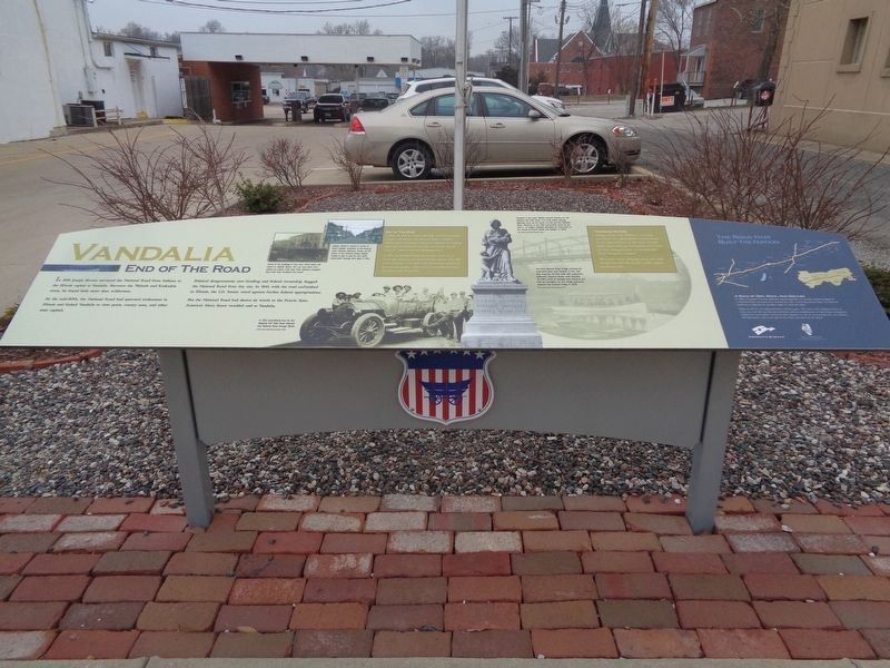
Vandalia
End of The Road
By the mid-1830s, the National Road had spawned settlements in Illinois and linked Vandalia to river ports, county seats, and other state capitals.
Political disagreements over funding and federal ownership dogged the National Road from day one. In 1840, with the road unfinished in Illinois, the U.S. Senate voted against further federal appropriations.
But the National Road had shown its worth to the Prairie State. America's Main Street wouldn't end at Vandalia.
Out of the Dust
In 1843, the Illinois General Assembly authorized counties to repair and preserve the National Road. Counties, communities, and private companies improved the existing alignment and ultimately extended the road to East St. Louis, Ill., where it met the Mississippi River.
In 1926, the National Road became part of US 40, an all-weather highway that stretched from Atlantic City, N.J., to San Franciso, Calif. While US 40 has been eclipsed by the interstate system, it still serves as a corridor for travel, commerce, and community.
Troubled Waters
Vandalia resident Col. William C. Greenup was Illnois' first superintendent of construction for the National Road. In 1838 with relocation of the capital imminent, Greenup planned to buoy the city's sinking fortunes via the Kaskaskia River Navigation Company.
The venture failed. Although small craft could navigate the river, the channel couldn't support steamboat traffic.
Photo captions:
Some of the buildings in this circa 1900 photo still stand on Gallatin Street. You can see them from where you stand. How have their features changed? How have they remained the same?
A 1912 promotional tour for the National Old Trails Road followed the National Road through Illinois.
Gallatin Street is named in honor of Albert Gallatin, secretary of the treasury under Thomas Jefferson. Known as the Founder of the National Road, Gallatin crafted a plan to pay for the road's construction through land sales in Ohio.
Travelers in the early 1900s crossed America on the National Old Trails Road. The route linked existing highways such as the Santa Fe Trail and the National Road. Madonna of the Trail monuments stand by the road in 12 states. Vandalia relocated its monument to the corner of Fourth Street and Gallatin in 1940.
The first National Road bridge crossing the Kaskaskia River was covered. It was 190 feet long and 40 feet wide with pedestrian walkways. Support stones were quarried 12 miles north of Vandalia and carted to the river by ox-wagon. An iron bridge (pictured) replaced the covered bridge in 1878.
(aside:)
A Road of Dirt, Rock, And Dreams
In 1806, President Thomas Jefferson signed legislation to provide federal funding for a National Road. Surveyed from Cumberland, Md., to the Mississippi River, the National Road was a highway for pioneers eager to settle the West.
Today, as US 40, the National Road in Illinois spans 164 miles. From Indiana to East St. Louis, you can still see how the ambitions and accomplishments of early Illinois immigrants shaped our communities. You'll find their influence in our art and architecture, our industry and agriculture, and in our way of life. Enjoy your time on the Road.
Erected 2015 by National Road Association of Illinois.
Topics and series. This historical marker is listed in these topic lists: Roads & Vehicles • Waterways & Vessels. In addition, it is included in the Former U.S. Presidents: #03 Thomas Jefferson, and the The Historic National Road series lists.
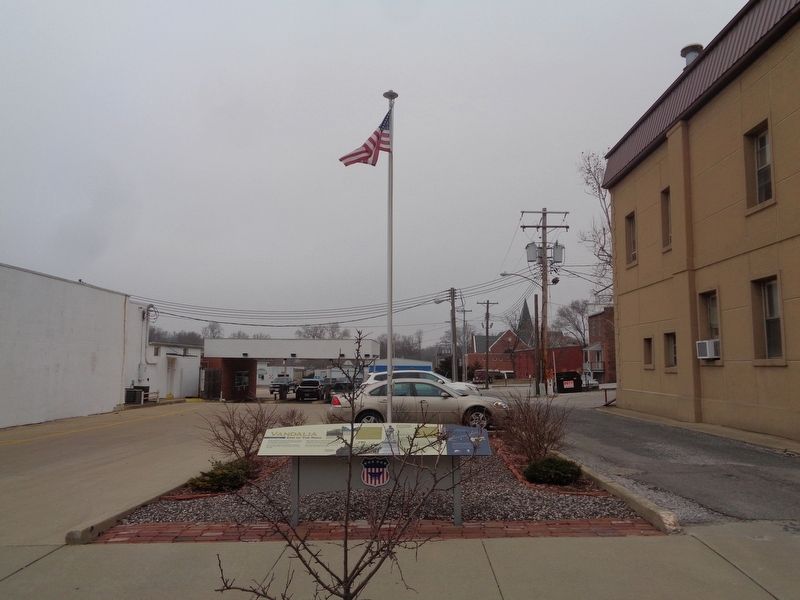
Location. 38° 57.649′ N, 89° 5.727′ W. Marker is in Vandalia, Illinois, in Fayette County. Marker is on Gallatin Street
just west of South 4th Street, on the right when traveling west. Marker is between the Vandalia City Hall/City Clerk building and Burtschi Brothers & Company. Touch for map. Marker is at or near this postal address: 431 West Gallatin Street, Vandalia IL 62471, United States of America. Touch for directions.
Other nearby markers. At least 8 other markers are within walking distance of this marker. Public Printer (within shouting distance of this marker); The Charters Hotel (within shouting distance of this marker); Second State Capitol (within shouting distance of this marker); First Elective Office (within shouting distance of this marker); Flack's Hotel (within shouting distance of this marker); Welcome to the National Road Interpretive Center (about 300 feet away, measured in a direct line); Madonna of the Trail (about 300 feet away); Cumberland Road (about 300 feet away). Touch for a list and map of all markers in Vandalia.
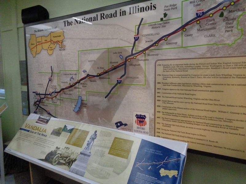
More about this marker. Marker was dedicated on September 17, 2016. A replica of the marker can be found inside the National Road Interpretive Center (located nearby).
Also see . . . Vandalia. From the Illinois National Road's YouTube channel, this is a video that talks about Vandalia and all of the recommend historical sites to visit (includes the National Road Interpretive Center and the Old State Capitol building).
(Submitted on January 7, 2020, by Jason Voigt of Glen Carbon, Illinois.)
Credits. This page was last revised on January 8, 2020. It was originally submitted on January 7, 2020, by Jason Voigt of Glen Carbon, Illinois. This page has been viewed 337 times since then and 40 times this year. Photos: 1, 2, 3. submitted on January 7, 2020, by Jason Voigt of Glen Carbon, Illinois. • Devry Becker Jones was the editor who published this page.


