Franklin in Williamson County, Tennessee — The American South (East South Central)
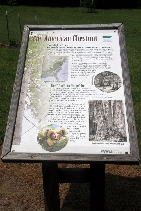
The American Chestnut
The Mighty Giant
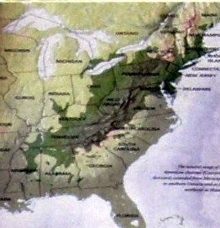
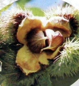
The American chestnut tree was once one of the most important trees in our eastern forest. The tree’s native range extended from Georgia all the way to Maine and west to the Ohio River Valley. In the Appalachian Mountains, roughly one tree in four was an American chestnut. The American chestnut could grow very large and very fast, allowing it to become the dominant tree in many areas. In mature stands, the tree could grow for 300 years or more, reach over 100 feet in height and more than 6 feet in diameter. These traits inspired the nickname “The Mighty Giant.”
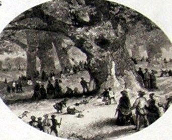
American chestnut trees bloom in the early summer. Where the trees once grew quickly on the Appalachian ridges, their creamy white flowers made the mountainsides appear snow covered. The native wildlife depended extensively on the nutritious nuts, especially turkeys, squirrels and bears.
The “Cradle to Grave” Tree
Chestnutting (gathering chestnuts) was both a social activity and provided income, particularly in rural communities. Railroad cars were loaded with nuts for shipment to larger cities, where vendors could sell them freshly roasted. Farmers fattened their overstock on the nuts and used nuts in traditional recipes, and even ground the nutmeat into flour.
The tree was an excellent source of lumber. It grew straight, often branch-free for the first fifty feet or more. It was straight-grained, easily split, rot resistant and lighter than oak. Chestnut was known as the “cradle to grave tree,” as it was used in both cradles and caskets, as well as many other everyday items. The lumber was used for split-rail fences, post-and-beam construction, railroad ties, shingles, panels, and telephone poles; some of which are still in use today.
Erected by The American Chestnut Foundation.
Topics. This historical marker is listed in these topic lists: Communications • Environment • Horticulture & Forestry • Industry & Commerce.
Location. 35° 53.423′ N, 86° 52.748′ W. Marker is in Franklin, Tennessee, in Williamson County. Marker can be reached from Columbia Avenue (U.S. 31) 0.1 miles south of Hillview Lane, on the right when traveling south. Touch for map. Marker is at or near this postal address: 1101 Hillview Lane, Franklin TN 37064, United States of America. Touch for directions.
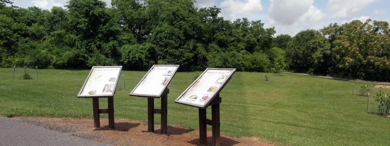
Other nearby markers. At least 8 other markers are within walking distance of this marker. Chestnut Blight (here, next to this marker); Restoring the Chestnut (here, next to this marker); Protecting Our Historic Resources (about 400 feet away, measured in a direct line); Welcome to Winstead Hill Park
(about 400 feet away); Samuel Winstead (1778-1851) (about 400 feet away); Winstead Hill (about 600 feet away); Brigadier General Hiram B. Granbury (about 600 feet away); States Rights Gist (about 600 feet away). Touch for a list and map of all markers in Franklin.
Also see . . . The American Chestnut Foundation homepage. (Submitted on December 25, 2019, by Larry Gertner of New York, New York.)
Credits. This page was last revised on January 9, 2020. It was originally submitted on December 25, 2019, by Larry Gertner of New York, New York. This page has been viewed 201 times since then and 5 times this year. Last updated on January 8, 2020, by Bruce Guthrie of Silver Spring, Maryland. Photos: 1, 2, 3, 4, 5, 6. submitted on December 25, 2019, by Larry Gertner of New York, New York. • Devry Becker Jones was the editor who published this page.
