Chittenango in Madison County, New York — The American Northeast (Mid-Atlantic)
Feeding the Canal
Inscription.
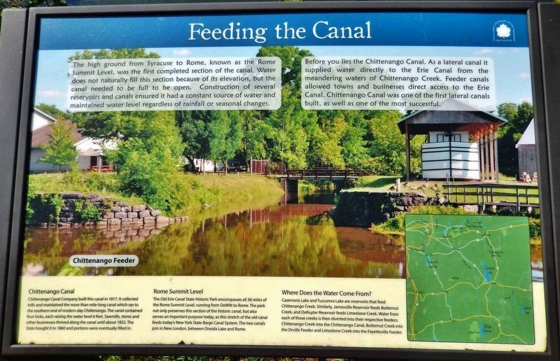
The high ground from Syracuse to Rome, known as the Rome Summit Level, was the first completed section of the canal. Water does not naturally fill this section because of its elevation, but the canal needed to be full to be open. Construction of several reservoirs and canals ensured it had a constant source of water and maintained water level regardless of rainfall or seasonal changes.
Before you lies the Chittenango Canal. As a lateral canal it supplied water directly to the Erie Canal from the meandering waters of Chittenango Creek. Feeder canals allowed towns and businesses direct access to the Erie Canal. Chittenango Canal was one of the first lateral canals built, as well as one of the most successful.
Chittenango Canal
Chittenango Canal Company built this canal in 1817. It collected tolls and maintained the more than mile-long canal which ran to the southern end of modern day Chittenango. The canal contained four locks, each raising the water level 6 feet. Sawmills, stores and other businesses thrived along the canal until about 1852. The State bought it in 1860 and portions were eventually filled in.
Rome Summit Level
The Old Erie Canal State Historic Park encompasses all 36 miles of the Rome Summit Level, running from DeWitt to Rome. The park not only preserves this section of the historic canal, but also serves an important purpose today, as this stretch of the old canal feeds today's New York State Barge Canal System. The two canals join in New London, between Oneida Lake and Rome.
Where Does the Water Come From?
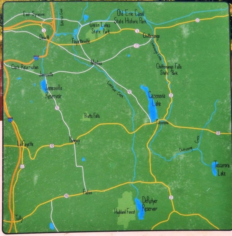
Cazenovia Lake and Tuscarora Lake are reservoirs that feed Chittenango Creek. Similarly, Jamesville Reservoir feeds Butternut Creek, and DeRuyter Reservoir feeds Limestone Creek. Water from each of these creeks is then diverted into their respective feeders: Chittenango Creek into the Chittenango Canal, Butternut Creek into the Orville Feeder and Limestone Creek into the Fayetteville Feeder.
Erected by New York State Office of Parks, Recreation and Historic Preservation.
Topics. This historical marker is listed in these topic lists: Man-Made Features • Parks & Recreational Areas • Waterways & Vessels. A significant historical year for this entry is 1817.
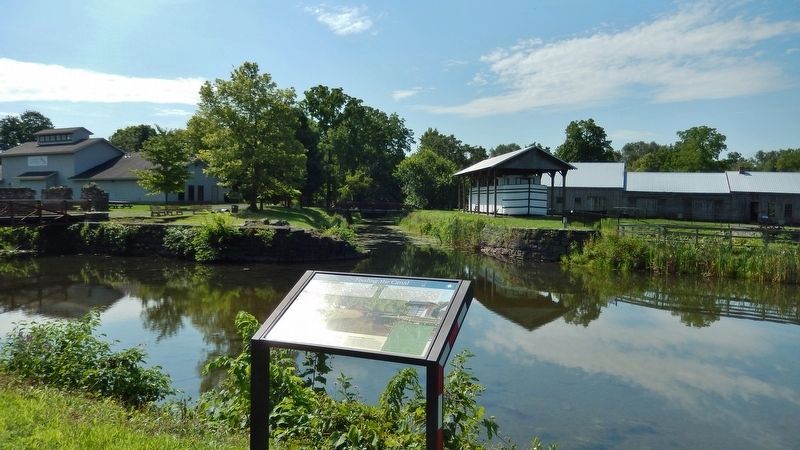
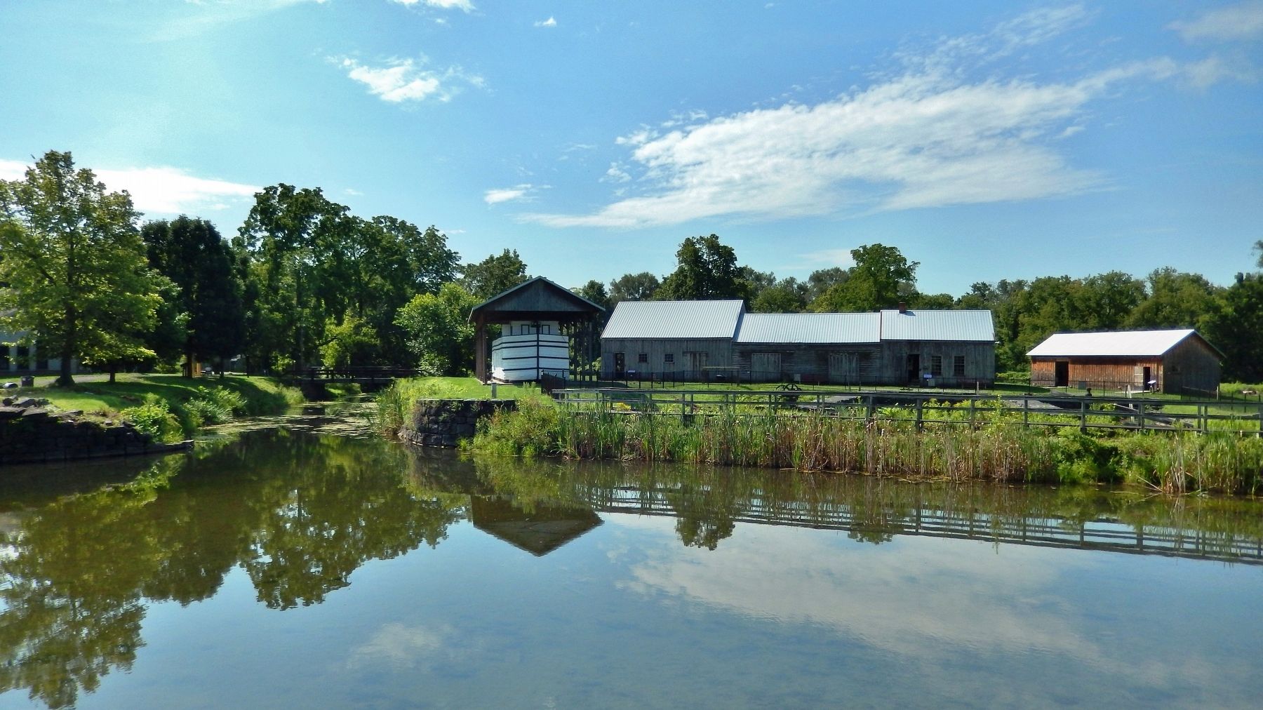
Location. 43° 3.639′ N, 75° 52.316′ W. Marker is in Chittenango, New York, in Madison County. Marker can be reached from Towpath Road just west of Lakeport Road, on the left when traveling west. Marker is located along the Erie Canalway Trail (Old Erie Canal State Park), overlooking Pool's Brook, (old Erie Canal), and the Chittenango Landing Canal Boat Museum. Touch for map. Marker is at or near this postal address: 717 Lakeport Road, Chittenango NY 13037, United States of America. Touch for directions.
Other nearby markers. At least 8 other markers are within 2 miles of this marker, measured as the crow flies. Dry Docks: Canal Service Centers (a few steps from this marker); A Busy, Bustling Boatyard (a few steps from this marker); A Cannery at the Crosswaters (within shouting distance of this marker); Canal Industry (approx. 0.3 miles away); Lamplighters Cart (approx. 1.2 miles away); Lateral Canal (approx. 1.2 miles away); Industrial Area (approx. 1.3 miles away); Canaseraga (approx. 1˝ miles away). Touch for a list and map of all markers in Chittenango.
Related markers. Click here for a list of markers that are related to this marker. Chittenango Landing
Also see . . .
1. Chittenango (Wikipedia). The Chittenango Canal Company constructed a canal 1.5 mi in length connecting Chittenango to the Erie Canal. The village became a virtual canal town upon the construction of the Chittenango Canal Boat Landing. The canal brought prosperity, growth and expansion to the village. It created a need for inns, hotels and restaurants, and area farms and factories found the canal useful as an inexpensive and easy way to ship goods further along the canal or beyond. Because the canal connected to the Hudson River, boats
were able to ship goods south to the metropolis of Manhattan. (Submitted on January 11, 2020, by Cosmos Mariner of Cape Canaveral, Florida.)
2. Chittenango Landing Dry Dock Complex - National Archives. National Register of Historic Places documentation (Submitted on March 20, 2024, by Anton Schwarzmueller of Wilson, New York.)
Credits. This page was last revised on March 20, 2024. It was originally submitted on January 10, 2020, by Cosmos Mariner of Cape Canaveral, Florida. This page has been viewed 389 times since then and 40 times this year. Photos: 1, 2, 3, 4. submitted on January 11, 2020, by Cosmos Mariner of Cape Canaveral, Florida.


