Canastota in Madison County, New York — The American Northeast (Mid-Atlantic)
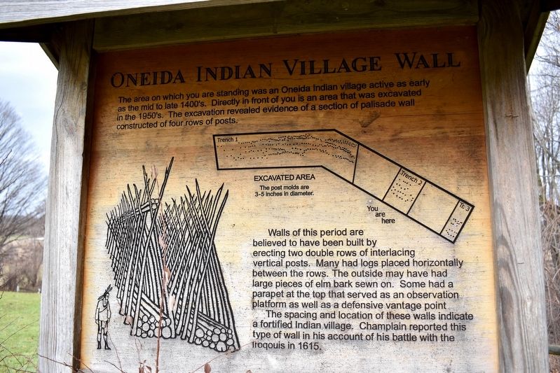
Oneida Indian Village Wall
Walls of this period are believed to have been built by erecting two double rows of interlacing vertical posts. Many had logs placed horizontally between the rows. The outside may have had large pieces of elm bark sewn on. Some had a parapet at the top that served as an observation platform as well as a defensive vantage point.
The spacing and location of these walls indicate a fortified Indian village. Champlain reported this type of wall in his account of his battle with the Iroquois in 1615.
Topics. This historical marker is listed in these topic lists: Anthropology & Archaeology • Architecture • Forts and Castles • Native Americans.
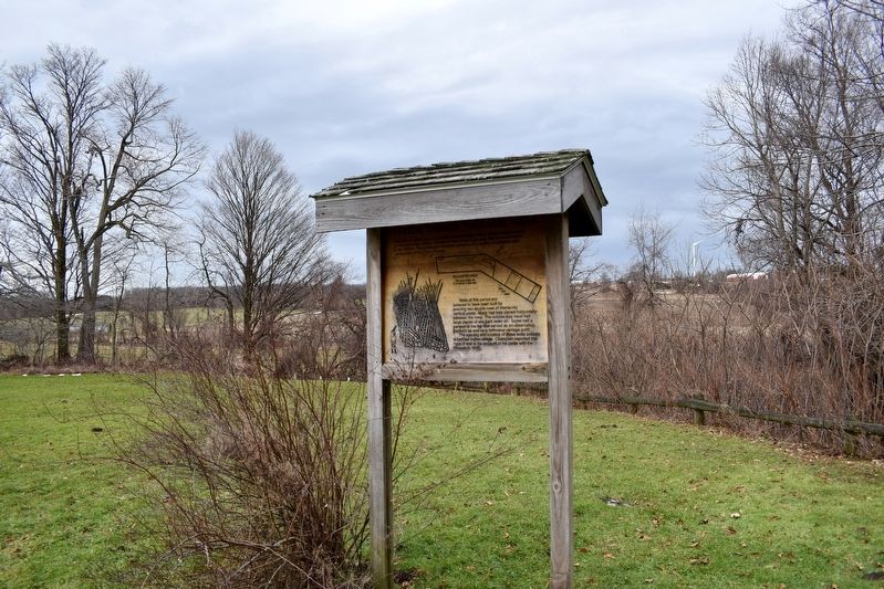
Location. 43° 0.193′ N, 75° 44.644′ W. Marker is in Canastota, New York, in Madison County. Marker can be reached from Nichols Pond Road, 0.4 miles north of W Mile Strip Road, on the left when traveling north. This marker is located within Nichols Pond County Park. Viewing it requires a short walk from the parking lot. Touch for map. Marker is at or near this postal address: 5797 Nichols Pond Road, Canastota NY 13032, United States of America. Touch for directions.
Other nearby markers. At least 8 other markers are within 5 miles of this marker, measured as the crow flies. Nichols Pond Park (about 500 feet away, measured in a direct line); Site of Champlain Battle (about 700 feet away); Oneida Stone of 1615 (approx. 0.2 miles away); Grain Pits (approx. 0.2 miles away); 1822-1911 (approx. 3.8 miles away); Children's Home (approx. 3.9 miles away); Amelia Earhart (approx. 4.6 miles away); Town Of Lenox WWII Memorial (approx. 4.7 miles away). Touch for a list and map of all markers in Canastota.
Credits. This page was last revised on January 13, 2020. It was originally submitted on January 11, 2020, by Mollie of Syracuse, New York. This page has been viewed 318 times since then and 31 times this year. Photos: 1, 2, 3. submitted on January 11, 2020, by Mollie of Syracuse, New York. • Michael Herrick was the editor who published this page.


