Near Shonto in Navajo County, Arizona — The American Mountains (Southwest)
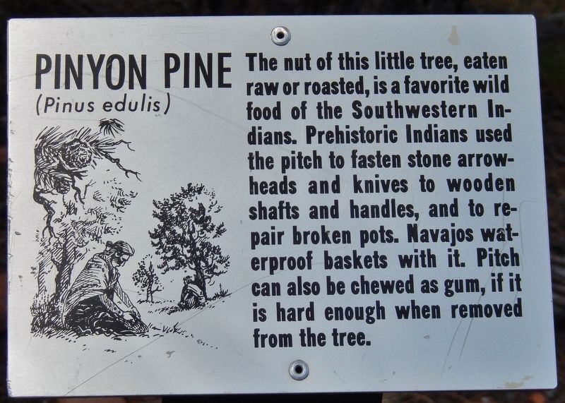
Pinyon Pine
Pinus edulis
Photographed by Cosmos Mariner, May 24, 2016
1. Pinyon Pine Marker
Topics. This historical marker is listed in these topic lists: Anthropology & Archaeology • Indigenous Peoples and Communities.
Location. 36° 40.76′ N, 110° 32.183′ W. Marker is near Shonto, Arizona, in Navajo County. It can be reached from the intersection of Arizona Route 564 and County Route 221. Marker is located along the Sandal Trail, about 3/10 mile northeast of the Navajo National Monument Visitor Center. Touch for map. Marker is in this post office area: Shonto AZ 86054, United States of America. Touch for directions.

Regionally, this marker is in the Navajo Nation and in Hopi. It is also in the American Southwest, in the Mountain West, on the Colorado Plateau, and at the Four Corners. Globally,
this page online
Other nearby markers. At least 8 other markers are within walking distance of this marker: Cliffrose (about 300 feet away, measured in a direct line); Roundleaf Buffaloberry (about 300 feet away); Broadleaf Yucca (about 400 feet away); Grizzlybear Pricklypear (about 400 feet away); Mormon Tea (about 600 feet away); Utah Juniper (about 600 feet away); Prehistoric Pioneers (approx. 0.2 miles away); Voices in the Canyon (approx. 0.2 miles away). Touch for a list and map of all markers in Shonto.
Related markers. Click here for a list of markers that are related to this marker. Sandal Trail, Navajo National Monument
Also see . . . Pinus edulis (Wikipedia). The edible seeds, pine nuts, are extensively collected throughout its range; in many areas, the seed harvest rights are owned by Native American tribes, for whom the species is of immense cultural and economic importance. Archaeologist Harold
Photographed by Cosmos Mariner, May 24, 2016
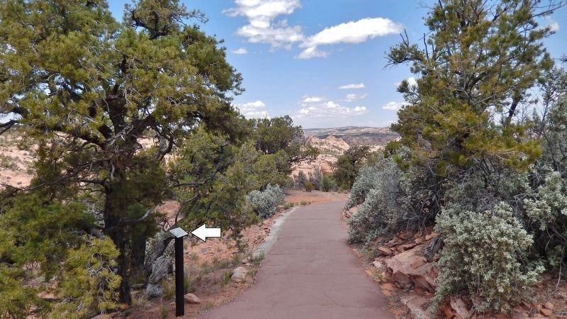
2. Pinyon Pine Marker • wide view
(marker visible on left/north side of Sandal Trail)
(marker visible on left/north side of Sandal Trail)
Photographed by Cosmos Mariner, May 24, 2016
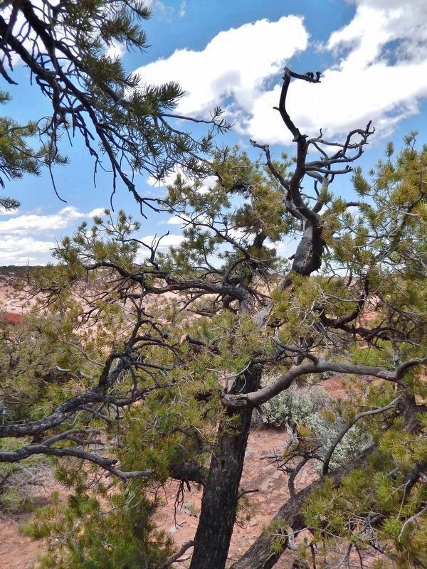
3. Pinyon Pine (Pinus edulis)
(located beside the trail, near marker)
(located beside the trail, near marker)
Photographed by Cosmos Mariner, May 24, 2016
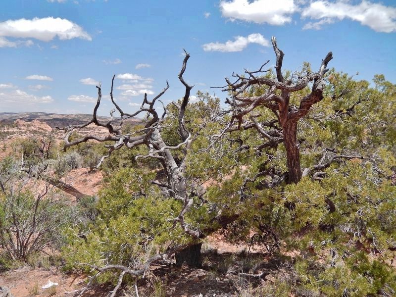
4. Pinyon Pine (Pinus edulis)
(located beside the trail, near marker)
(located beside the trail, near marker)
Credits. This page was last revised on January 13, 2020. It was originally submitted on January 12, 2020, by Cosmos Mariner of Cape Canaveral, Florida. This page has been viewed 356 times since then and 29 times this year. Photos: 1, 2, 3, 4. submitted on January 13, 2020, by Cosmos Mariner of Cape Canaveral, Florida.
