Bayside in Charlotte County, New Brunswick — The Atlantic Provinces (North America)
A Checkered History / Une historie mouvementée
Inscription.
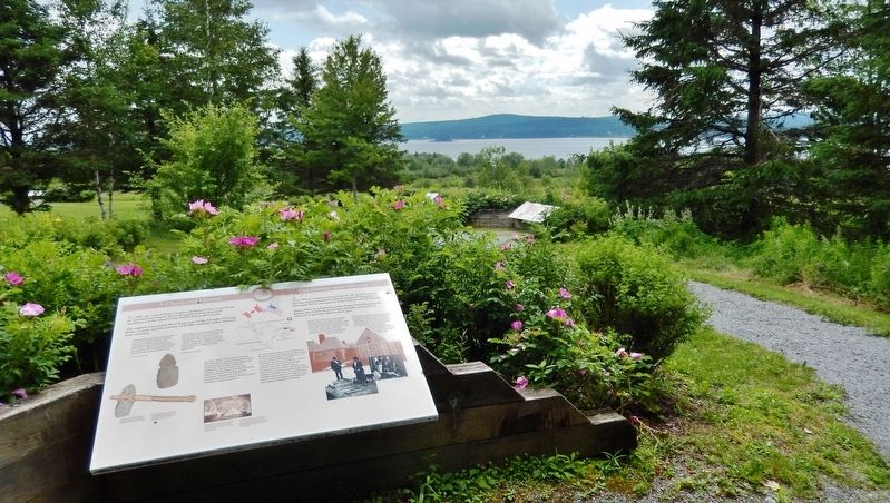
In 1984, the United States Congress designated Saint Croix Island an international historic site in recognition of the historical significance of the Island to the United States and Canada.
The majestic Saint Croix River forms part of the Canadian Heritage Rivers System, and the currents of history continue to flow between both countries.
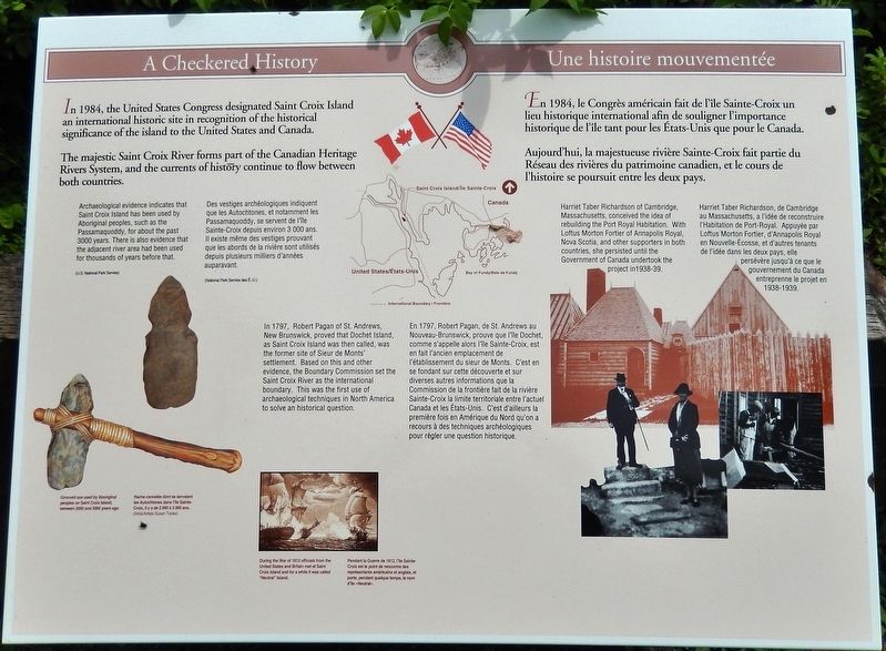
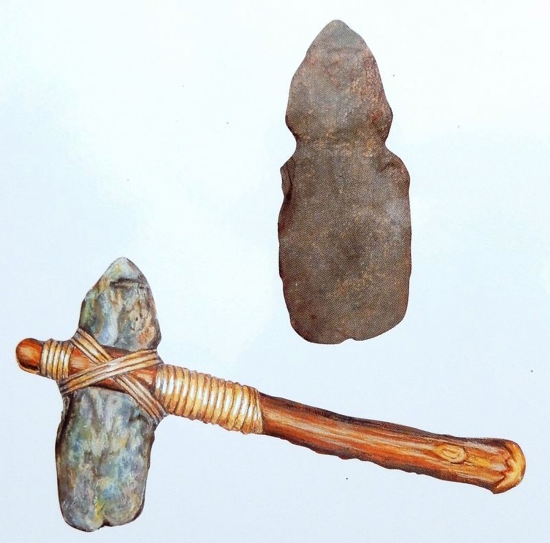
Archaeological evidence indicates that Saint Croix Island has been used by Aboriginal peoples, such as the Passamaquoddy, for about the past 3000 years. There is also evidence that the adjacent river area had been used for thousands of years before that. (U.S. National Park Service)
In 1797, Robert Pagan of St. Andrews, New Brunswick, proved that Dochet Island, as Saint Croix Island was then called, was the former site of Sieur de Monts' settlement. Based on this and other evidence, the Boundary Commission set the Saint Croix River as the international boundary. This was the first use of archaeological techniques in North America to solve an historical question.
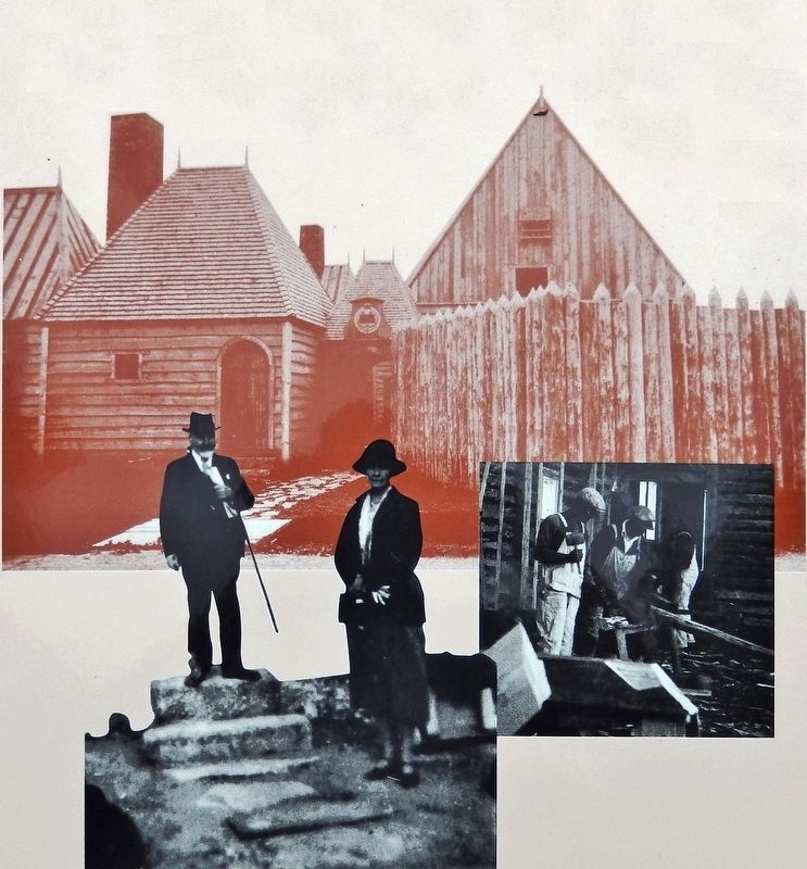
Harriet Taber Richardson of Cambridge, Massachusetts, conceived the idea of rebuilding the Port Royal Habitation. With Loftus Morton Fortier of Annapolis Royal, Nova Scotia, and other supporters in both countries, she persisted until the Government of Canada undertook the project in 1938-39.
En 1984, le Congrès américain fait de l'île Sainte-Croix un lieu historique international afin de souligner l'importance historique de l'île tant pour les États-Unis que pour le Canada.
Aujourd'hui, la majestueuse rivière Sainte-Croix fait partie du Réseau des rivières du patrimoine canadien, et le cours de l'histoire se poursuit entre les deux pays.
Des vestiges archéologiques indiquent que les Autochtones, et notamment les Passamaquoddy, se servent de l'île Sainte-Croix depuis environ 3 000 ans. Il existe même des vestiges prouvant que les abords de la rivière sont utilisés depuis plusieurs milliers d'années auparavant. (National Park Service des É.-U.)
En 1797, Robert Pagan, de St. Andrews au Nouveau-Brunswick, prouve que l'île Dochet, comme s'appelle alors l'île Sainte-Croix, est en fait l'ancien emplacement de l'établissement du sieur de Monts. C'est en se fondant sur cette découverte et sur diverses autres informations que la Commission de la frontière fait de la rivière Sainte-Croix la limite territoriale entre l'actuel Canada et les États-Unis. C'est d'ailleurs la première fois en Amérique
du Nord qu'on a recours à des techniques archéologiques pour régler une question historique.
Harriet Taber Richardson, de Cambridge au Massachusetts, a l'idée de reconstruire l'Habitation de Port-Royal. Appuyée par Loftus Morton Fortier, d'Annapolis Royal en Nouvelle-Écosse, et d'autres tenants de l'idée dans les deux pays, elle persévère jusqu'à ce que le gouvernement du Canada entreprenne le projet en 1938-1939.
Erected by Parks Canada / Parcs Canada.
Topics. This historical marker is listed in these topic lists: Anthropology & Archaeology • Colonial Era • Native Americans • Settlements & Settlers.
Location. 45° 8.098′ N, 67° 6.771′ W. Marker is in Bayside, New Brunswick, in Charlotte County. Marker can be reached from New Brunswick Route 127, 9 kilometers south of New Brunswick Route 1, on the right when traveling south. Marker is located at the Saint Croix Island National Historic Site, along the interpretive trail. Touch for map. Marker is at or near this postal address: 3509 New Brunswick Highway 127, Bayside NB E5B 2V2, Canada. Touch for directions.
Other nearby markers. At least 8 other markers are within walking distance of this marker. In Champlain’s Footsteps / Sur les traces de Champlain (a few steps from this marker); Moving on / Le déménagement (within shouting distance of this marker); A Winter of Despair / Un hiver de désespoir
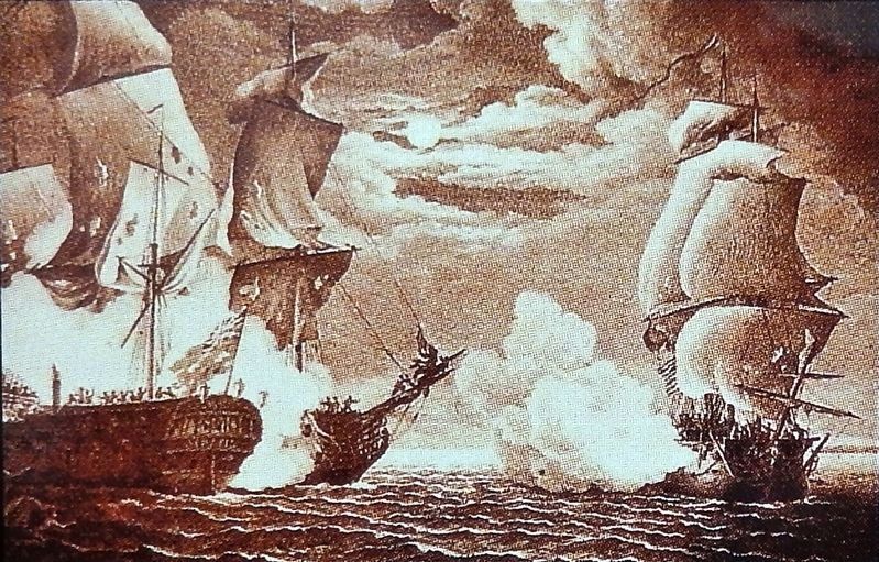
3. Marker detail: Saint Croix Island during the War of 1812
During the War of 1812 officials from the United States and Britain met at Saint Croix Island and for a white it was called "Neutral" Island.
Pendant la Guerre de 1812, l'île Sainte-Croix est le point de rencontre des représentants américains et anglais, et porte, pendant quelque temps, le nom d'Île «Neutral».
Pendant la Guerre de 1812, l'île Sainte-Croix est le point de rencontre des représentants américains et anglais, et porte, pendant quelque temps, le nom d'Île «Neutral».
Related markers. Click here for a list of markers that are related to this marker. Saint Croix Island International Historic Site / Île Sainte-Croix Lieu historique international
Also see . . . Saint Croix Island International Historic Site: A Checkered History. In 1958, the Historic Site and Monuments Board of Canada recognized Saint Croix Island for its national historic significance to Canada. (Submitted on January 18, 2020, by Cosmos Mariner of Cape Canaveral, Florida.)
Credits. This page was last revised on January 19, 2020. It was originally submitted on January 15, 2020, by Cosmos Mariner of Cape Canaveral, Florida. This page has been viewed 115 times since then and 7 times this year. Photos: 1. submitted on January 15, 2020, by Cosmos Mariner of Cape Canaveral, Florida. 2, 3, 4, 5. submitted on January 18, 2020, by Cosmos Mariner of Cape Canaveral, Florida.
