Oella in Baltimore County, Maryland — The American Northeast (Mid-Atlantic)
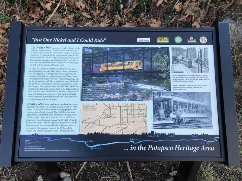
"Just One Nickel and I Could Ride"
... in the Patapsco Heritage Area

Photographed By Devry Becker Jones (CC0), January 19, 2020
1. "Just One Nickel and I Could Ride" Marker
In 1892, the Columbia and Maryland Railway was chartered to build an electric trolley line to connect Baltimore and Washington, D.C. Despite a lawsuit brought be a descendant of the Ellicott brothers to prevent the track from running near his elegant home on Westchester Avenue, rail for the #9 was soon laid. The project then proceeded under the Baltimore Consolidated Railway, committed to reach the Patapsco River by December 31, 1898. Days before the deadline, the line made a connection to the Patapsco River via a "cut-off" route now known as #8. Tracks beyond this point into Washington were never laid out but the routes between Baltimore, Catonsville and Ellicott City continued to be developed and heavily used.
By the 1920s, more roads were paved and more people could afford cars. Yet even the modern streetcars introduced in the 1930s could not entice enough people to the cheap and rapid trolley transit. After WWII, a bus route replaced the line that ran from Baltimore to Rolling Road. The last trolley ran on #9 in June 19, 1955. In 1957, the Baltimore Transit Company deeded the #9 right-of-way to Baltimore County. With the help of an Eagle Scout and the Department of Recreation and Parks, implementation of the county's bikeway plan began in the 1970s and the Trolley Trail opened in sections from 1991 through 1997.
[Captions:]
The trolley bridge over the Patapsco River in Ellicott City was completed in July of 1899. Shortly after this 1917 trolley car was photographed crossing in 1957, the bridge was demolished leaving behind the stone abutments.
Above: Trolley on Main Street weeks before the last regular run in Ellicott City. Previously school teachers who lived in Baltimore rode to their jobs and walked uphill to the Ellicott City Colored School.
Below: Consolidated Trolley No. 1403 paused for the camera during a run between Baltimore and Ellicott City in 1899.
Detail of a map of the Baltimore Transit Company from 1945.
Erected by Friends of Benjamin Banneker Historical Park and Museum; Oella Historical Society; Patapsco Valley Heritage Greenway; Maryland Heritage Area Authority; Baltimore County,

Photographed By Devry Becker Jones (CC0), January 19, 2020
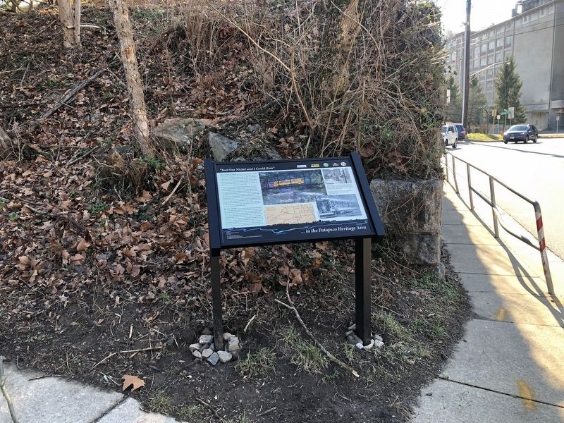
2. "Just One Nickel and I Could Ride" Marker
Topics. This historical marker is listed in these topic lists: African Americans • Education • Industry & Commerce • Parks & Recreational Areas • Railroads & Streetcars • Roads & Vehicles • Waterways & Vessels. A significant historical date for this entry is June 19, 1955.
Location. 39° 16.092′ N, 76° 47.61′ W. Marker is in Oella, Maryland, in Baltimore County. Marker is on Oella Avenue just north of Frederick Road (Maryland Route 144), on the left when traveling south. Touch for map. Marker is at or near this postal address: 6 Oella Avenue, Ellicott City MD 21043, United States of America. Touch for directions.
Other nearby markers. At least 8 other markers are within walking distance of this marker. Up This Winding Road Lies the Village of Oella (within shouting distance of this marker); Oella (within shouting distance of this marker); Ellicott’s Mills (within shouting distance of this marker); The George Ellicott House (about 300 feet away, measured in a direct line); Edges of Earth's Crust Collided Here (about 300 feet away); Baltimore and Frederick Turnpike Milestone (about 400 feet away); Roads versus Rails (about 400 feet away); The Patapsco Hotel (about 500 feet away). Touch for a list and map of all markers in Oella.
Credits. This page was last revised on January 19, 2020. It was originally submitted on January 19, 2020, by Devry Becker Jones of Washington, District of Columbia. This page has been viewed 283 times since then and 36 times this year. Photos: 1, 2. submitted on January 19, 2020, by Devry Becker Jones of Washington, District of Columbia.