Marker Logo HMdb.org THE HISTORICAL
MARKER DATABASE
“Bite-Size Bits of Local, National, and Global History”
Moundville in Hale County, Alabama — The American South (East South Central)
 

A Perspective of Power

Moundville Archaeological Park


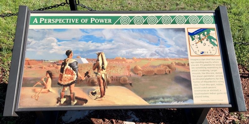
A Perspective of Power Marker image. Click for full size.
Photographed By Mark Hilton, January 19, 2020
1. A Perspective of Power Marker
Inscription. Imagine a clan chief 800 years ago standing exactly where you are. It's possible he would see something resembling this artist's rendering. Larger mounds, like this one, dotted the plaza's perimeter, serving as elevated platforms for the homes of Moundville's ruling class. From this spot, nobles would watch ancient ceremonies or stickball, a Southeastern Indian game still played today.
 
Erected by the University of Alabama.
 
Topics. This historical marker is listed in these topic lists: Anthropology & ArchaeologyNative AmericansSettlements & SettlersSports.
 
Location. 33° 0.38′ N, 87° 38.061′ W. Marker is in Moundville, Alabama, in Hale County. Marker can be reached from Mound State Parkway, 1½ miles west of Alabama Route 69. Located on top of mound behind the Jones Archaeological Museum. Touch for map. Marker is at or near this postal address: 634 Mound State Parkway, Moundville AL 35474, United States of America. Touch for directions.
 
Other nearby markers. At least 8 other markers are within walking distance of this marker. The CCC and Moundville (within shouting distance of this marker); Mound Arrangement (about 300 feet away, measured in a direct line); Politics and Power (approx. 0.2 miles away); a different marker also named Politics and Power
Paid Advertisement
Click on the ad for more information.
Please report objectionable advertising to the Editor.
Click or scan to see
this page online
(approx. 0.2 miles away); Mound B (approx. ¼ mile away); Earthlodge (approx. ¼ mile away); Protection and the Palisade (approx. ¼ mile away); Moundville Archaeological Park (approx. 0.4 miles away). Touch for a list and map of all markers in Moundville.
 
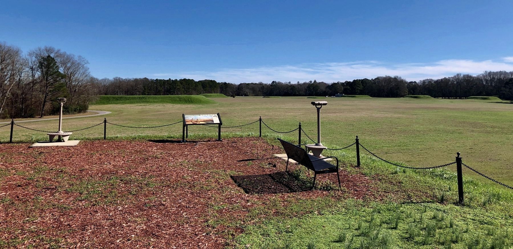
View of the marker atop Mound P. image. Click for full size.
Photographed By Mark Hilton, January 19, 2020
2. View of the marker atop Mound P.
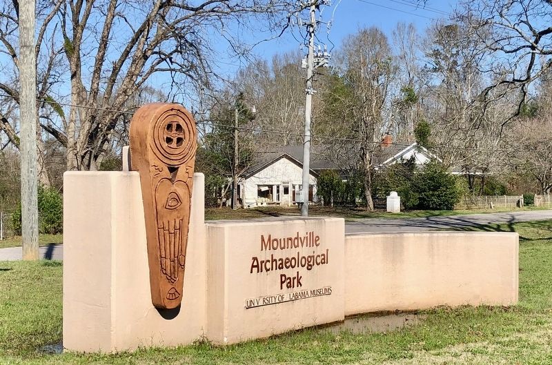
Entrance sign at Highway 69. image. Click for full size.
Photographed By Mark Hilton, January 19, 2020
3. Entrance sign at Highway 69.
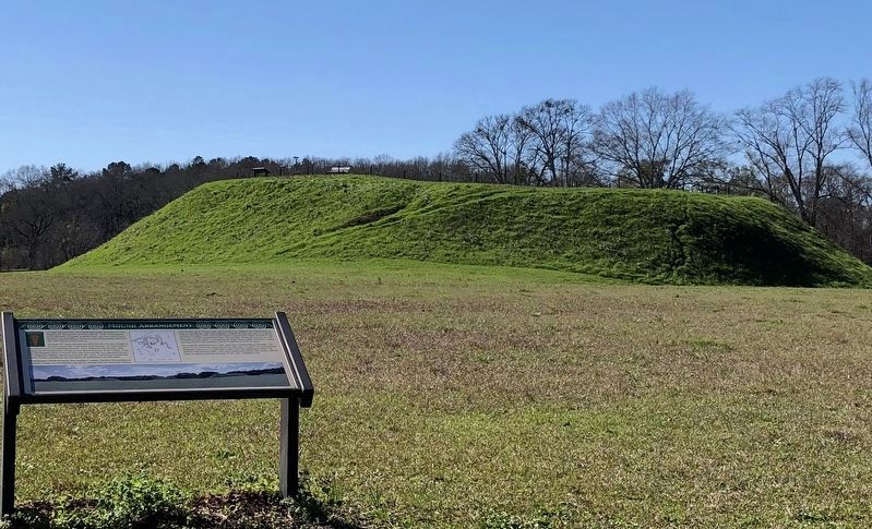
Marker can be seen on top left of Mound P in the background. image. Click for full size.
Photographed By Mark Hilton, January 19, 2020
4. Marker can be seen on top left of Mound P in the background.
 
 
Credits. This page was last revised on February 9, 2020. It was originally submitted on January 20, 2020, by Mark Hilton of Montgomery, Alabama. This page has been viewed 248 times since then and 37 times this year. Photos:   1, 2, 3, 4. submitted on January 20, 2020, by Mark Hilton of Montgomery, Alabama.
Share this page.  
Share on Tumblr
m=144752

CeraNet Cloud Computing sponsors the Historical Marker Database.
This website earns income from purchases you make after using our links to Amazon.com. We appreciate your support.
Paid Advertisement
Apr. 19, 2024