Staunton in Macoupin County, Illinois — The American Midwest (Great Lakes)
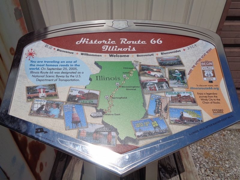
Historic Route 66 Illinois
Photographed by Jason Voigt, August 5, 2019
1. Historic Route 66 Illinois Marker
Erected by Illinois Route 66 Scenic Byway.
Topics and series. This historical marker is listed in these topic lists: Industry & Commerce • Roads & Vehicles. In addition, it is included in the U.S. Route 66 series list. A significant historical year for this entry is 2005.
Location. 39° 0.258′ N, 89° 46.912′ W. Marker is in Staunton, Illinois, in Macoupin County. It can be reached from Historic Old Route 66 0.2 miles north of South Madison Street. Marker is near the entrance of Henry's Rabbit Ranch. Touch for map. Marker is at or near this postal address: 1107 Historic Old Route 66, Staunton IL 62088, United States of America. Touch for directions.

Regionally, this marker is in the American Midwest and in the Corn Belt. Globally, it is in North America, the Western Hemisphere, the Western World, and the Anglosphere. Historically, it finds itself in what was once the territory of the Mississippian Culture and also the
this page online
Other nearby markers. At least 8 other markers are within 9 miles of this marker, measured as the crow flies: Henry's Rabbit Ranch, Staunton, Illinois (within shouting distance of this marker); Ill. Traction System (approx. 0.7 miles away); Veterans Memorial (approx. 0.7 miles away); a different marker also named Veterans Memorial (approx. 2.9 miles away); Futuro House (approx. 3.2 miles away); Soulsby's Service (approx. 5.3 miles away); Union Miners Cemetery at Mt. Olive, Illinois (approx. 5.9 miles away); Heart of Coal Country (approx. 8.6 miles away). Touch for a list and map of all markers in Staunton.
Other markers no longer nearby. Soulsby Shell Station, Mt. Olive, Illinois (was approx. 5.3 miles away but has been confirmed missing); Dancing the Night Away (was approx. 6.4 miles away but has been confirmed missing).
More about this marker. There are two identical markers in the Illinois towns of Pontiac and Southern View (near Springfield).
Photographed by Jason Voigt, August 5, 2019
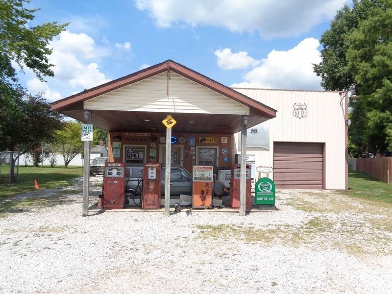
2. Historic Route 66 Illinois Marker
In front of Henry's Rabbit Ranch (a.k.a. Henry's Ra66it Ranch), by the garage door
Credits. This page was last revised on October 20, 2020. It was originally submitted on January 20, 2020, by Jason Voigt of Glen Carbon, Illinois. This page has been viewed 520 times since then and 37 times this year. Photos: 1, 2. submitted on January 20, 2020, by Jason Voigt of Glen Carbon, Illinois. • Devry Becker Jones was the editor who published this page.
