St. Marys in Camden County, Georgia — The American South (South Atlantic)
The Birth of a City
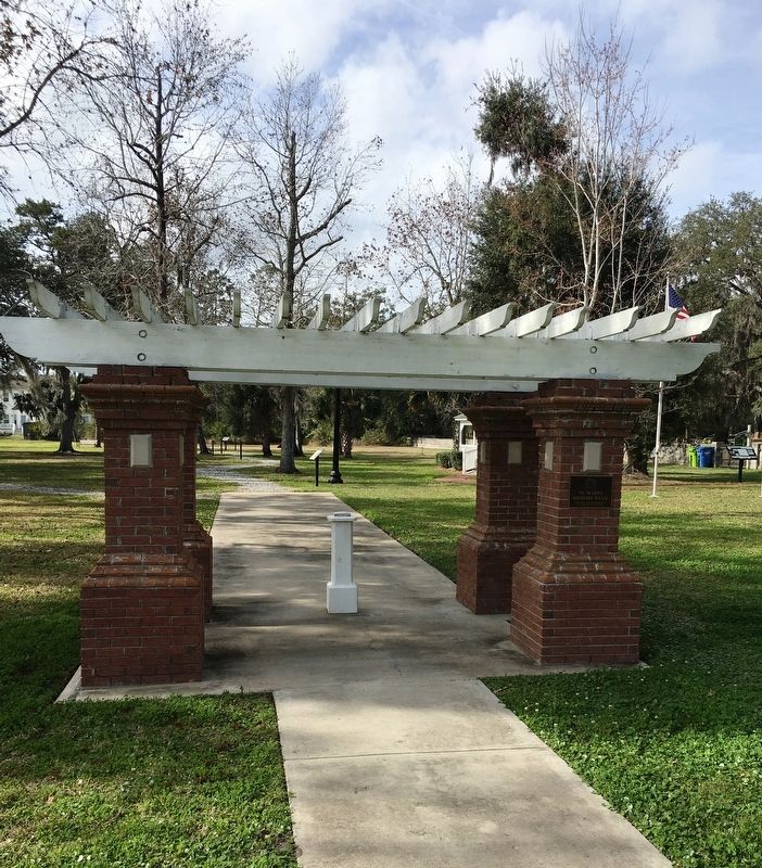
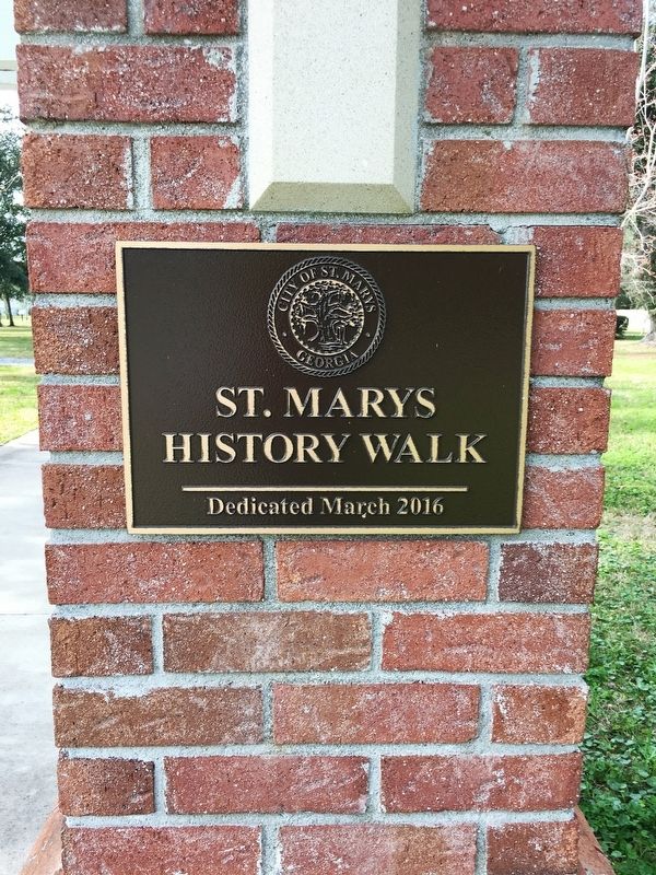
St. Marys History Walk
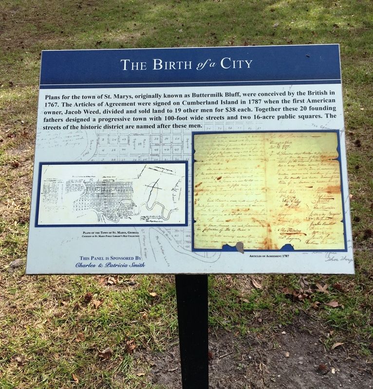
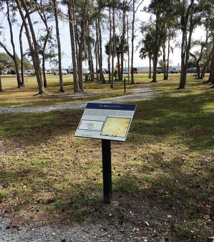
Plans for the town of St. Marys, originally known as Buttermilk Bluff, were conceived by the British in 1767. The Articles of Agreement were signed on Cumberland Island in 1787 when the first American owner Jacob Weed, divided and sold land to 19 other men for $38 each. Together these 20 founding fathers designed a progressive town with 100-feet wide streets and two 16-acre public squares. The streets of the historic district are named after these men.
Erected by Charles & Patricia Smith.
Topics. This historical marker is listed in these topic lists: Colonial Era • Parks & Recreational Areas • Settlements & Settlers. A significant historical year for this entry is 1767.
Location. 30° 43.305′ N, 81° 33.214′ W. Marker is in St. Marys, Georgia, in Camden County. Marker is at the intersection of Bartlett Street and St. Marys Street West, on the left when traveling north on Bartlett Street. Marker located within the St. Marys History Walk. Touch for map. Marker is at or near this postal address: 101 Bartlett Street, Saint Marys GA 31558, United States of America. Touch for directions.
Other nearby markers. At least 8 other markers are within walking distance of this marker. Georgia’s Spanish Period (a few steps from this marker); St. Marys: A Military Town for 200+ Years (a few steps from this marker); The Washington Pump & Oak (a few steps from this marker); Industry finds St. Marys (a few steps from this marker); The Lost Native Americans (a few steps from this marker); The St Marys Peace Garden (a few steps from this marker); The Tragic Acadians (within shouting distance of this marker); Southern Signature (within shouting distance of this marker). Touch for a list and map of all markers in St. Marys.
Credits. This page was last revised on October 13, 2020. It was originally submitted on January 26, 2020, by Brandon D Cross of Flagler Beach, Florida. This page has been viewed 203 times since then and 17 times this year. Photos: 1, 2, 3, 4. submitted on January 26, 2020, by Brandon D Cross of Flagler Beach, Florida. • Bernard Fisher was the editor who published this page.


