St. Marys in Camden County, Georgia — The American South (South Atlantic)
Weathering
The War of 1812
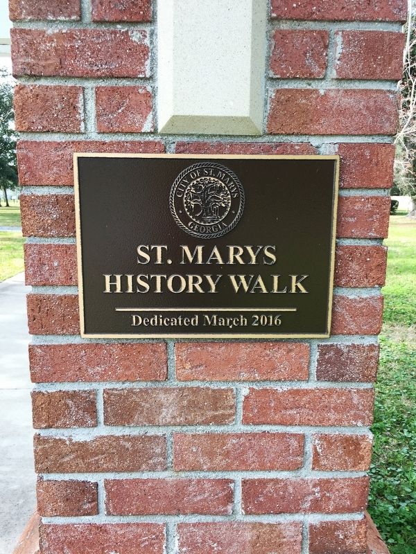
— St. Marys History Walk —
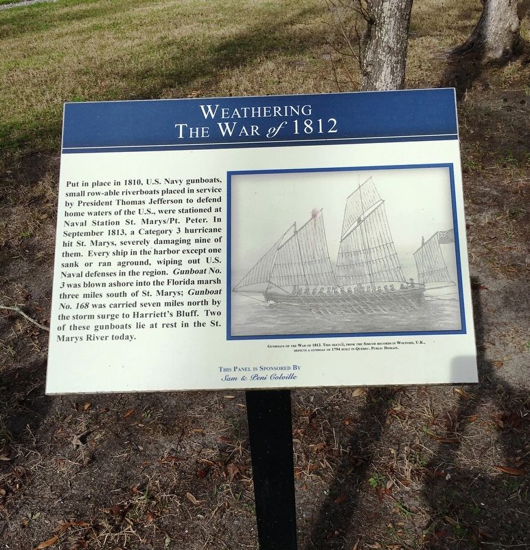
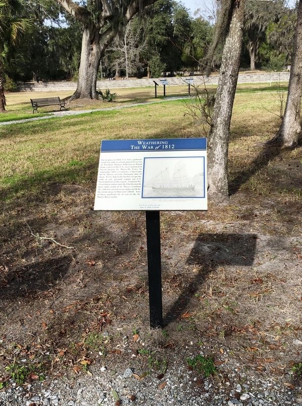
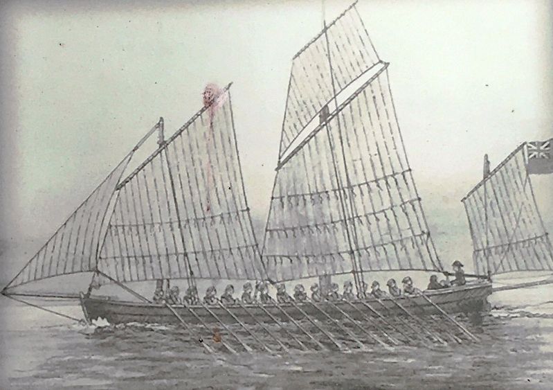
Put in place in 1810, U.S. Navy gunboats, small row-able riverboats placed in service by President Thomas Jefferson to defend home waters of the U.S., were stationed at Naval Station St. Marys/Pt. Peter. In September 1813, a Category 3 hurricane hit St. Marys, severely damaging nine of them. Every ship in the harbor except one sank or ran aground, wiping out U.S. Naval defenses in the region. Gunboat No. 3 was blown ashore into the Florida marsh three miles south of St. Marys; Gunboat No. 168 was carried seven miles north by the storm surge to Harriett’s Bluff. Two of these gunboats lie in rest in the St. Marys River today.
Erected 2016 by Sam & Peni Colville.
Topics and series. This historical marker is listed in these topic lists: Parks & Recreational Areas • War of 1812 • Waterways & Vessels. In addition, it is included in the Former U.S. Presidents: #03 Thomas Jefferson series list. A significant historical month for this entry is September 1813.
Location. 30° 43.294′ N, 81° 33.243′ W. Marker is in St. Marys, Georgia, in Camden County. Marker can be reached from the intersection of Bartlett Street and St Marys Street West, on the left when traveling north. Marker located within the St. Marys History Walk. Touch for map. Marker is at or near this postal address: 101 Bartlett St, Saint Marys GA 31558, United States of America. Touch for directions.
Other nearby markers. At least 8 other markers are within walking distance of this marker. The Forgotten Battle (here, next to this marker); The Forgotten Battle’s (here, next to this marker); The Last Battles of The War of 1812 (here, next to this marker); Industry finds St. Marys: (a few steps from this marker); Georgia’s Coastal Gem: (a few steps from this marker); Industry finds St. Marys (a few steps from this marker); a different marker also named Industry finds St. Marys: (a few steps from this marker); The Enduring Gullah (a few steps from this marker). Touch for a list and map of all markers in St. Marys.
Credits. This page was last revised on October 13, 2020. It was originally submitted on January 27, 2020, by Brandon D Cross of Flagler Beach, Florida. This page has been viewed 181 times since then and 10 times this year. Photos: 1, 2, 3, 4, 5. submitted on January 27, 2020, by Brandon D Cross of Flagler Beach, Florida. • Bernard Fisher was the editor who published this page.
