St. Marys in Camden County, Georgia — The American South (South Atlantic)
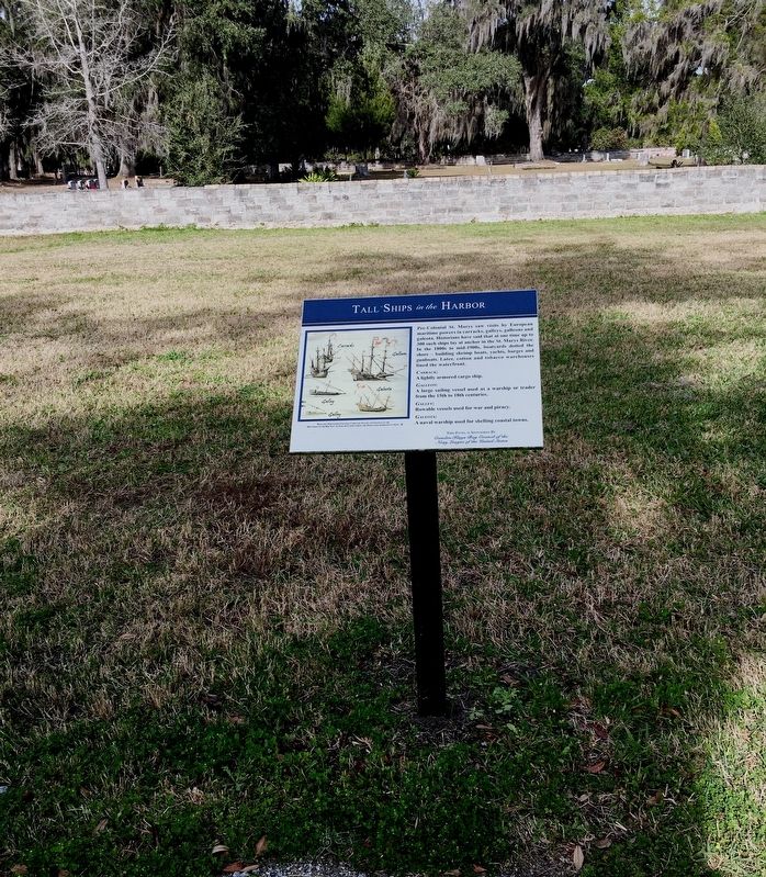
Tall Ships in the Harbor
St. Marys History Walk

Photographed by Brandon D Cross, January 18, 2020
1. Tall Ships in the Harbor Marker
Pre-Colonial St. Marys saw visits by European maritime powers in carracks, galleys, galleons and galeota. Historians have said that at one time up to 300 such ships lay at anchor in the St. Marys River. In the 1800s to mid-1900s, boatyards dotted the shore – building shrimp boats, yachts, barges and gunboats. Later, cotton and tobacco warehouses lined the waterfront.
Carrack:
A lightly armored cargo ship.
Galleon:
A large sailing vessel used as a warship or trader from the 15th to 18th centuries.
Galley:
Rowable vessels used for war and piracy.
Galeota:
A naval warship used for shelling coastal towns.
Erected 2016 by Camden Kings Bay Council of the Navy League of the United States.
Topics. This historical marker is listed in these topic lists: Industry & Commerce • Parks & Recreational Areas • Waterways & Vessels.
Location. 30° 43.311′ N, 81° 33.239′ W. Marker is in St. Marys, Georgia, in Camden County. It can be reached from the intersection of Bartlett Street and St Marys Street West, on the left when traveling north. Located within
this page online

Regionally, this marker is on Georgia’s Coastal Plain, on the Georgia Coast and the Golden Isles, and on the Sea Islands. It is also in the American South, specifically in the Deep South, and on the Eastern Seaboard. Globally, it is in the North Atlantic Region, North America, the Western Hemisphere, the Western World, and the Anglosphere. Historically, it finds itself in what was once New Spain, the territory of the Mississippian Culture, one of the original Thirteen Colonies, one of the Confederate States of America, and the Antebellum South.
Other nearby markers. At least 8 other markers are within walking distance of this marker: Shipbuilding Launched in St. Marys (here, next to this marker); Ships Under Sail: (here, next to this marker); International Border Town (a few steps from this marker); The Tragic Acadians (a few steps from this marker); Industry finds St. Marys (a few steps from this marker); Industry finds St. Marys: (within
Photographed by Brandon D Cross, January 18, 2020
2. Tall Ships in the Harbor Marker

Photographed by Brandon D Cross, January 18, 2020
3. Photo Insert : Tall Ships
Depicted: Portuguese Galleon, Carracks, Galley and Galeota in the ”Routemap of the Red Sea” by Joao De Castro during the Portuguese Expedition to Suez
Photographed by Brandon D Cross, January 18, 2020
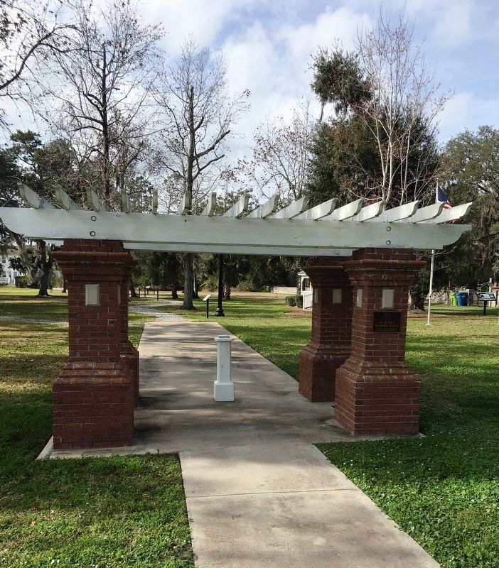
4. Entrance to the St. Marys History Walk

Photographed by Brandon D Cross, January 18, 2020
5. St. Marys History Park markers from a distance
Photographed by Brandon D Cross, January 18, 2020
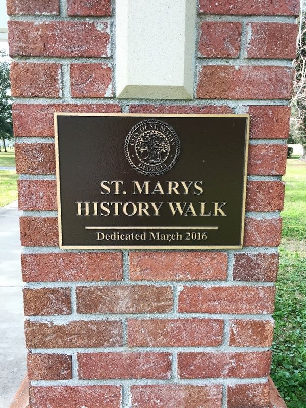
6. St. Marys History Park commemoration plaque
Credits. This page was last revised on October 13, 2020. It was originally submitted on January 31, 2020, by Brandon D Cross of Flagler Beach, Florida. This page has been viewed 368 times since then and 30 times this year. Photos: 1, 2, 3, 4, 5, 6. submitted on January 31, 2020, by Brandon D Cross of Flagler Beach, Florida. • Bernard Fisher was the editor who published this page.
