St. Marys in Camden County, Georgia — The American South (South Atlantic)
Ships Under Sail:
Connecting St. Marys to the World
— St. Marys History Walk —
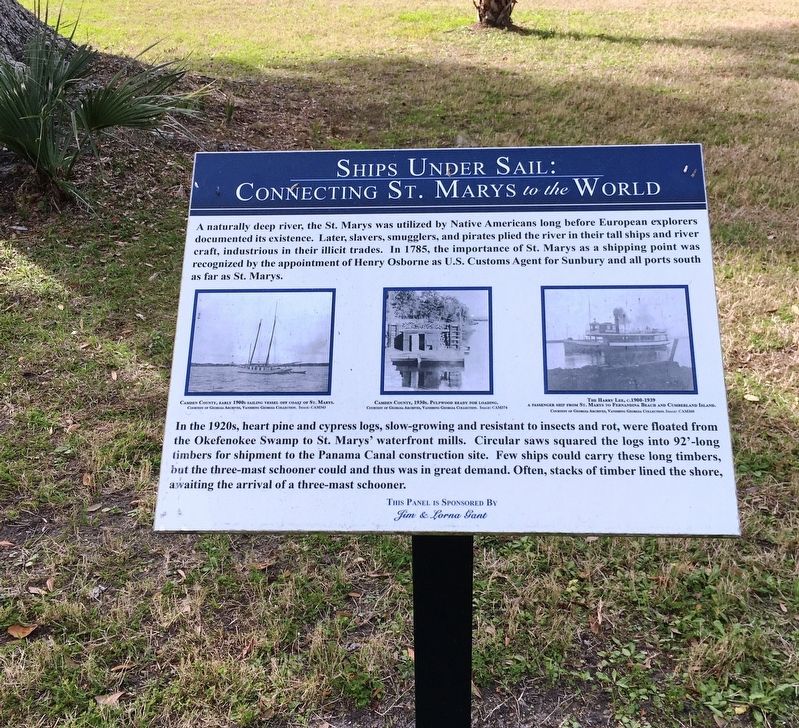
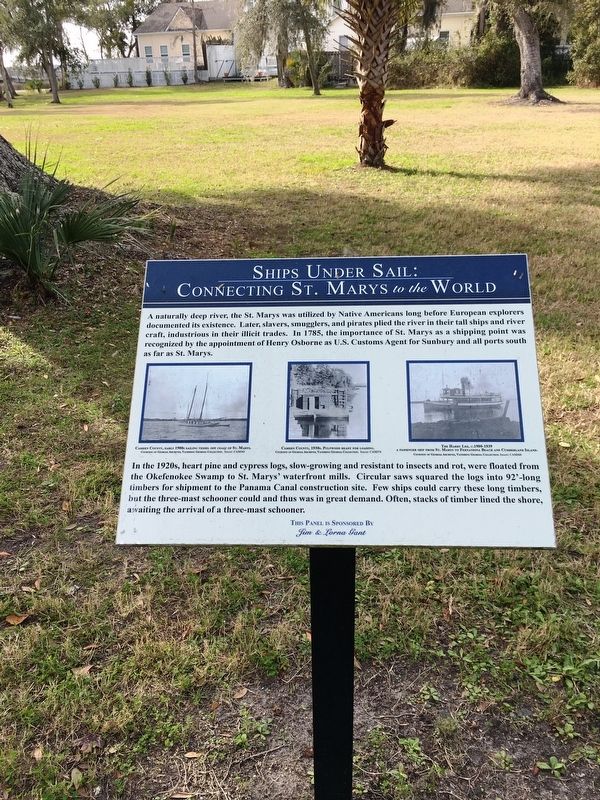
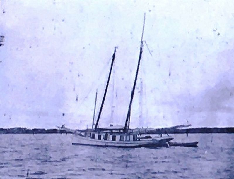
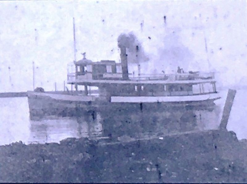
A naturally deep river, the St. Marys was utilized by Native Americans long before European explorers documented its existence. Later, slavers, smugglers, and pirates plied the river in their tall ships and river craft, industrious in their illicit trades. In 1785, the importance of St. Marys as a shipping point was recognized by the appointment of Henry Osborne as U.S. Customs Agent for Sunbury and all ports south as far as St. Marys.
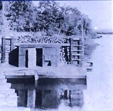
In the 1920s, heart pine and cypress logs, slow-growing and resistant to insects and rot, were floated from the Okefenokee Swamp to St. Marys’ waterfront mills. Few ships could carry these long timbers, but the three-mast schooner could and thus was in great demand. Often, stacks of timber lined the shore, awaiting the arrival of a three-mast schooner.
Erected 2016 by Jim & Lorna Gant.
Topics. This historical marker is listed in these topic lists: Horticulture & Forestry • Industry & Commerce • Parks & Recreational Areas • Waterways & Vessels. A significant historical year for this entry is 1785.
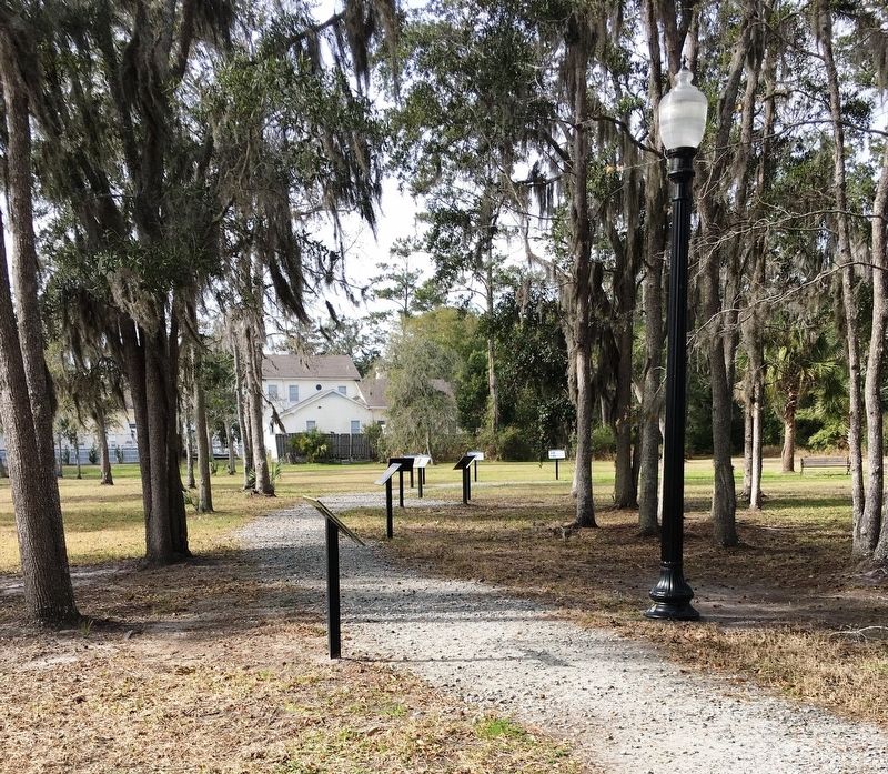
Location. 30° 43.31′ N, 81° 33.241′ W. Marker is in St. Marys, Georgia, in Camden County. Marker can be reached from the intersection of Bartlett Street and St Marys Street West, on the left when traveling north. Located within the St. Marys History Walk. Touch for map. Marker is at or near this postal address: 101 Bartlett St, Saint Marys GA 31558, United States of America. Touch for directions.
Other nearby markers. At least 8 other markers are within walking distance of this marker. Shipbuilding Launched in St. Marys (here, next to this marker); Tall Ships in the Harbor (here, next to this marker); International Border Town (a few steps from this marker); The Tragic Acadians (a few steps from this marker); Industry finds St. Marys (a few steps from this marker); Industry finds St. Marys: (a few steps from this marker); a different marker also named Industry finds St. Marys: (within shouting distance of this marker); The Forgotten Battle’s (within shouting distance of this marker). Touch for a list and map of all markers in St. Marys.
Credits. This page was last revised on October 13, 2020. It was originally submitted on January 31, 2020, by Brandon D Cross of Flagler Beach, Florida. This page has been viewed 253 times since then and 28 times this year. Photos: 1, 2, 3, 4, 5, 6. submitted on January 31, 2020, by Brandon D Cross of Flagler Beach, Florida. • Bernard Fisher was the editor who published this page.
