Valley in Syracuse in Onondaga County, New York — The American Northeast (Mid-Atlantic)
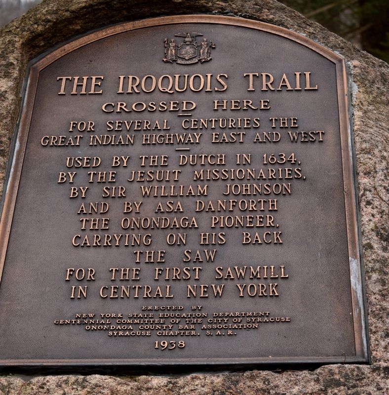
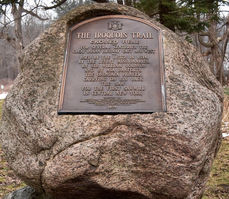
The Iroquois Trail
Crossed here
— For several centuries the Great Indian Highway East and West —
Erected 1938 by New York State Education Department, Centennial Committee of the City of Syracuse, Onondaga County Bar Association, Syracuse Chapter S.A.R.
Topics and series. This historical marker is listed in these topic lists: Churches & Religion • Colonial Era • Native Americans • Roads & Vehicles • Settlements & Settlers. In addition, it is included in the Sons of the American Revolution (SAR) series list.
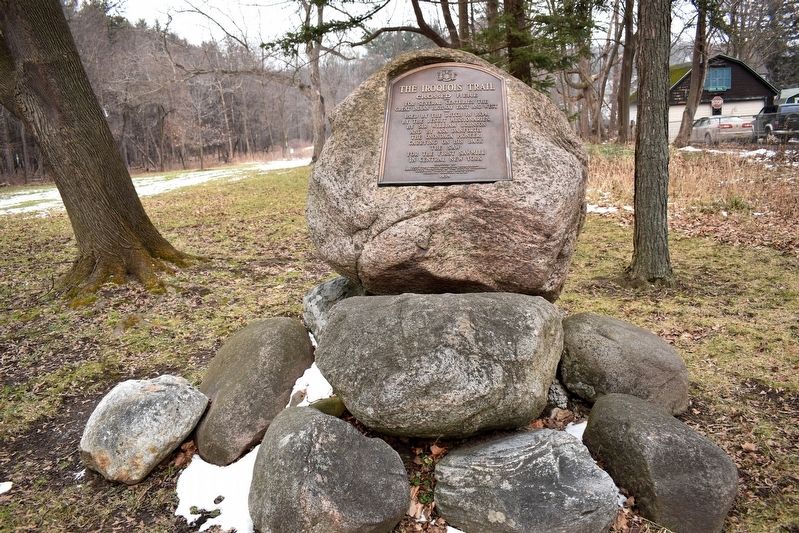
Location. 42° 59.378′ N, 76° 8.65′ W. Marker is in Syracuse, New York, in Onondaga County. It is in Valley. Marker is on South Salina Street (U.S. 11) north of Richfield Ave., on the right when traveling north. Located at entrance to James E. Heath Park. Touch for map. Marker is at or near this postal address: 5571 S Salina St, Syracuse NY 13205, United States of America. Touch for directions.
Other nearby markers. At least 8 other markers are within 2 miles of this marker, measured as the crow flies. James E. Heath Park (a few steps from this marker); The Indian Trail (within shouting distance of this marker); Kana-Ta-Go-Wah (approx. 0.3 miles away); Gridley House (approx. 0.8 miles away); Nedrow c. 1798 (approx. 0.9 miles away); Forman House (approx. 0.9 miles away); The Sanatorium (approx. 1.6 miles away); War of 1812 (approx. 1.6 miles away). Touch for a list and map of all markers in Syracuse.
Credits. This page was last revised on March 2, 2023. It was originally submitted on February 1, 2020, by Mollie of Syracuse, New York. This page has been viewed 522 times since then and 80 times this year. Photos: 1, 2, 3. submitted on February 1, 2020, by Mollie of Syracuse, New York. • Michael Herrick was the editor who published this page.


