The Mound at Fort Toulouse-Fort Jackson Park
Alabama Indigenous Mound Trail
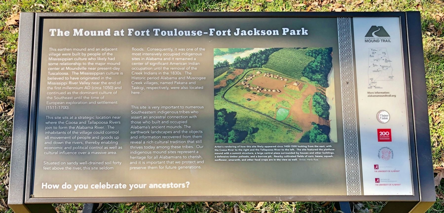
This site sits at a strategic location near where the Coosa and Tallapoosa Rivers join to form the Alabama River. The inhabitants of the village could control all movement of people and goods up and down the rivers, thereby enabling economic and political control as well as cultural influence over a massive area.
Situated on sandy well-drained soil forty feet above the river, this site seldom floods. Consequently, it was one of the most intensively occupied indigenous sites in Alabama and it remained a center of significant American Indian occupation until the removal of the Creek Indians in the 1830s. The Historic period Alabama and Muscogee Creek
this page online
This site is very important to numerous Southeastern indigenous tribes who assert an ancestral connection with those who built and occupied Alabama's ancient mounds. The earthwork landscapes and the objects and information recovered from them reveal a rich cultural tradition that still thrives today among these tribes. Our indigenous mound sites represent a heritage for all Alabamians to cherish, and it is important that we protect and preserve them for future generations.
Artist's rendering of how this site likely appeared circa 1400-1500 looking from the east, with the Coosa River to the right and the Tallapoosa River to the left. The site featured the platform mound with a summit structure, a large central plaza surrounded by houses and other buildings, a defensive timber palisade, and a borrow pit. Nearby cultivated fields of corn, beans, squash, sunflower, amaranth, and other food crops are in the view as well. Artist: Herb Roe.
Erected 2020 by Alabama Historical Commission (Ft. Toulouse/Ft. Jackson), the University of Alabama Center
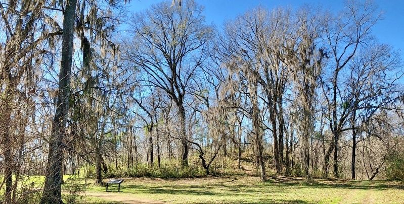
Topics and series. This historical marker is listed in these topic lists: Indigenous Peoples and Communities • Settlements & Settlers • Waterways & Vessels. In addition, it is included in the Alabama Historical Commission series list.
Location. 32° 30.242′ N, 86° 15.513′ W. Marker is in Wetumpka, Alabama, in Elmore County. It can be reached from West Fort Toulouse Road 0.6 miles west of Jackson Park Road. Marker is located within the Fort Toulouse-Fort Jackson National Historical Park, beyond the end of West Fort Toulouse Road. Entrance fee is charged. Touch for map. Marker is at or near this postal address: 2521 West Fort Toulouse Road, Wetumpka AL 36093, United States of America. Touch for directions.

Regionally, this marker is in the Tri-Counties River Region. It is also in the American South and specifically in the Deep South. Globally, it is in North America, a Gulf of Mexico state, the Western Hemisphere, the Western World, and the Anglosphere. Historically, it finds itself in what was once New
Other nearby markers. At least 8 other markers are within 4 miles of this marker, measured as the crow flies: Fort Jackson (approx. 0.2 miles away); Here Stood Fort Toulouse (approx. 0.2 miles away); William Bartram Arboretum (approx. 0.4 miles away); Bartram's Trail (approx. 2.6 miles away); Williams Lowndes Yancey (approx. 3.2 miles away); Ronnie Lovejoy Sr. (1950-2001) (approx. 3.3 miles away); Wetumpka Impact Crater (approx. 3.6 miles away); Crommelin Memorial (approx. 3.7 miles away). Touch for a list and map of all markers in Wetumpka.
Credits. This page was last revised on February 2, 2020. It was originally submitted on February 2, 2020, by Mark Hilton of Montgomery, Alabama. This page has been viewed 896 times since then and 74 times this year. Photos: 1, 2, 3. submitted on February 2, 2020, by Mark Hilton of Montgomery, Alabama.
