Northeast Los Angeles in Los Angeles County, California — The American West (Pacific Coastal)
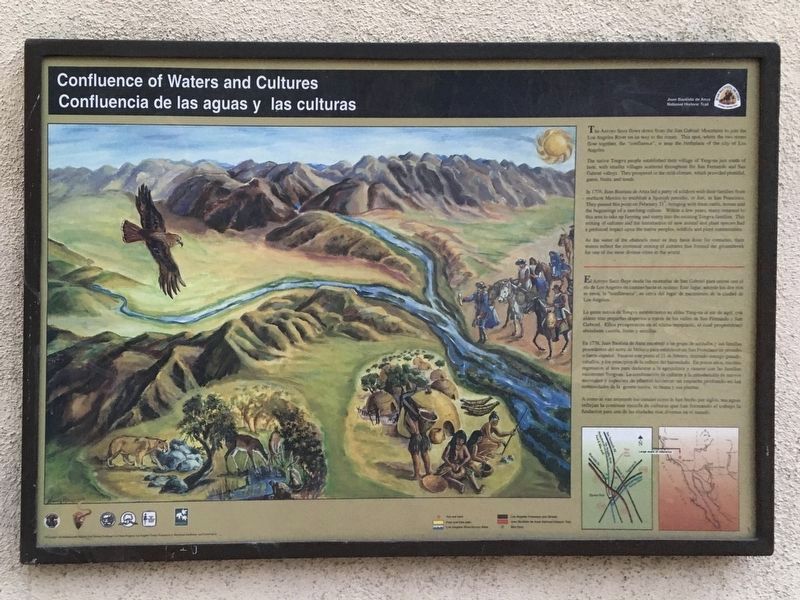
Confluence of Waters and Cultures
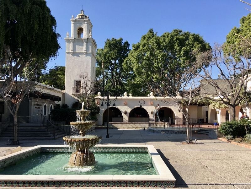
Los Angeles River Center
— Lawry’s California Center —
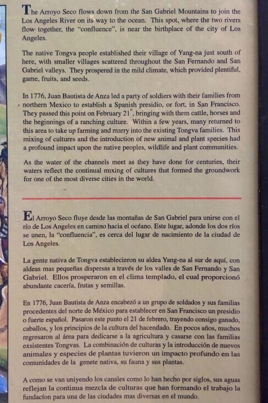
The native Tongva people established their village of Yang-na just south of here, with smaller villages scattered throughout the San Fernando and San Gabriel valleys. They prospered in the mild climate, which provided plentiful game, fruits, and seeds.
In 1776, Juan Bautista de Anza led a party of soldiers with their families from northern Mexico to establish a Spanish presidio, or fort, in San Francisco. They passed this point on February 21, bringing with them cattle, horses, and the beginnings of a ranching culture. Within a few years, many returned to this area to take up farming and marry into the existing Tongva families. This mixing of cultures and the introduction of new animal and plant species had a profound impact upon the native peoples, wildlife and plant communities.
As the water of the channels meet as they have done for centuries, their waters reflect the continual mixing of cultures that formed the groundwork for one of the most diverse cities in the world.
El Arroyo Seco fluye desde las montañas de San Gabriel para unirse con el río de Los Angeles en camino hacia el océano. Este lugar, adonde los dos ríos se unen, la "confluencia", es cerca del lugar de nacimiento de la ciudad de Los Angeles.
La gente nativa de Tongva establecieron su aldea Yang-na al sur de aquí, con aldeas mas pequeñas dispersas a través de los valles de San Fernando y San Gabriel. Ellos prosperaron en el clima templado, el cual proporcionó abundante cacería, frutas y semillas.
En 1776, Juan Bautista de Anza encabezó a un grupo de soldados y sus familias procedentes del norte de México para establecer en San Francisco un presidio o fuerte español. Pasaron este punto el 21 de febrero, trayendo consigo ganado, caballos, y los principios de la cultura del hacendado. En pocos años, muchos regresaron al área para dedicarse a la agricultura y casarse con las familias exsistentes Tongvas. La combinación de culturas y la introducción de nuevos animales y especies de plantas tuvieron un impacto profundo en las comunidades de la genete nativa, su fauna y sus plantas.
A como se van uniyendo los canales como lo han hecho por siglos, sus aguas reflejan la continua mezcla de culturas que han formando el trabajo la fundacíon para una de las ciudades mas diversas en el mundo.
Erected by National Park Service - Juan Bautista de Anza National Historic Trail.
Topics and series. This historical marker is listed in these topic lists: Exploration • Native Americans • Waterways & Vessels. In addition, it is included in the Juan Bautista de Anza National Historic Trail series list.
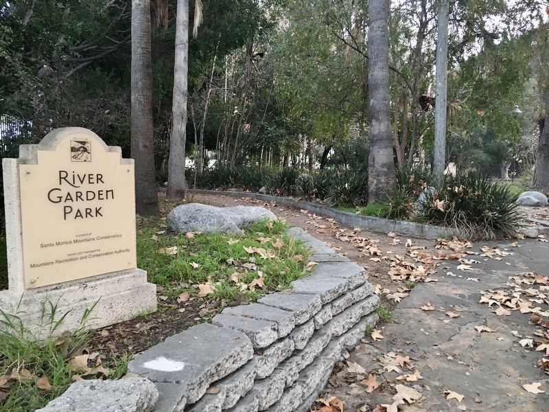
Location. 34° 5.106′ N, 118° 13.523′ W. Marker is in Los Angeles, California, in Los Angeles County. It is in Northeast Los Angeles. Marker is at the intersection of San Fernando Road and Avenue 26, on the left when traveling south on San Fernando Road. Located next to River Garden Park, open sunrise to sunset. Touch for map. Marker is at or near this postal address: 570 W Ave 26, Los Angeles CA 90065, United States of America. Touch for directions.
Other nearby markers. At least 8 other markers are within one mile of this marker, measured as the crow flies. Huron Substation (approx. 0.2 miles away); Florence Nightingale Junior High School (approx. half a mile away); Los Desterrados (approx. 0.8 miles away); Fire Station No. 1 (approx. 0.8 miles away); Lincoln Heights Library (approx. 0.9 miles away); Portolá Trail (approx. 0.9 miles away); Buena Vista Street Viaduct (approx. 0.9 miles away); Valley Knudsen Garden Residence (approx. one mile away). Touch for a list and map of all markers in Los Angeles.
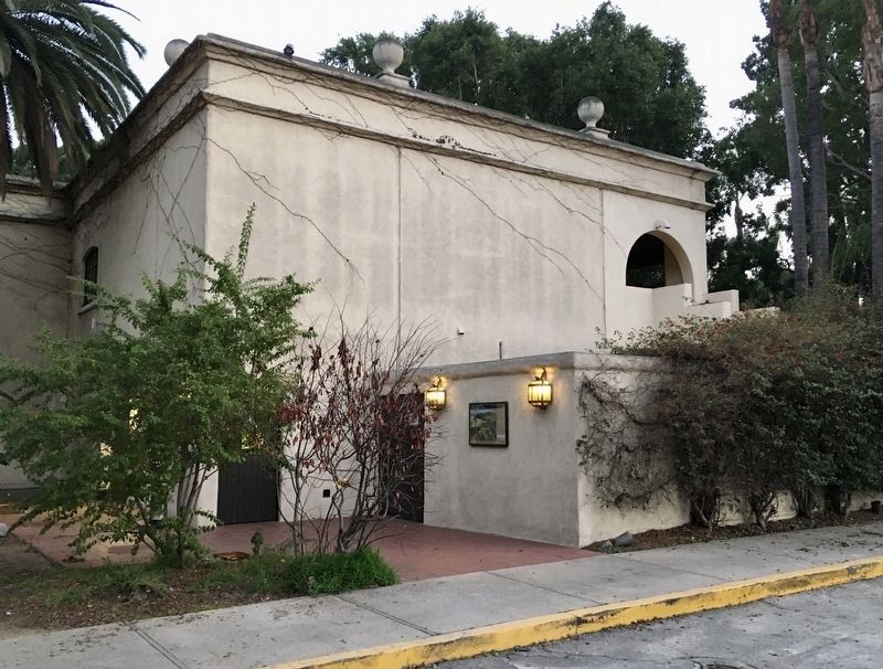
More about this marker. The marker is located at the Los Angeles River Center, which is a small office complex, event venue, and garden park. This was originally Lawry’s California Center, a showcase of restaurants and shops to promote Lawry’s seasoning products made here. The Lawry’s center, completed in 1953 and expanded in 1961, opened a dining area in 1970. The production facility was popular for school field trips and public tours. Lipton purchased the Lawry’s property in 1979 from its founders, the Van de Kamp family. The center, which was never profitable, closed in 1992 and was sold, becoming the Los Angeles River Center.
Also see . . . Los Angeles River Center. An exhibit hall describes the history of the Los Angeles River. Open Monday through Friday 9 am to 5 pm, closed during private events. (Submitted on February 8, 2020.)
Additional keywords. Lawry’s California Center
Credits. This page was last revised on March 8, 2023. It was originally submitted on February 8, 2020, by Craig Baker of Sylmar, California. This page has been viewed 1,067 times since then and 17 times this year. Photos: 1, 2, 3, 4, 5. submitted on February 8, 2020, by Craig Baker of Sylmar, California. • Syd Whittle was the editor who published this page.
