Hot Springs in Garland County, Arkansas — The American South (West South Central)
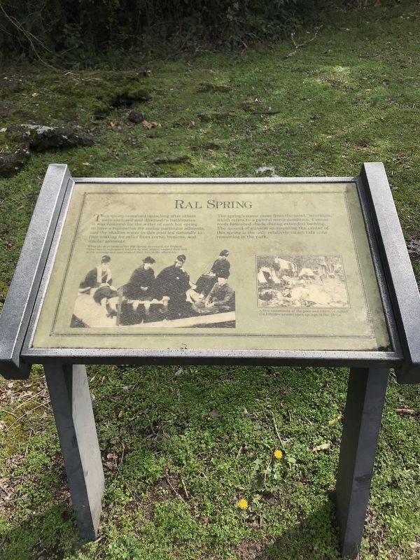
Ral Springs
This spring remained open long after others were enclosed and diverted to bathhouses. It was common for the water of each hot spring to have a reputation for curing particular ailments, and the shallow water in this pool led naturally to foot soaking for relief from corns, bunions, and similar ailments. The spring's name came from the word "neuralgia," which refers to a painful nerve condition. Canvas roofs furnished shade during extended bathing. The mound of mineral surrounding the center of this spring is the only relatively intact tufa cone remaining in the park.
Erected by National Park Service, U.S. Department of the Interior.
Topics. This historical marker is listed in these topic lists: Parks & Recreational Areas • Science & Medicine • Waterways & Vessels.
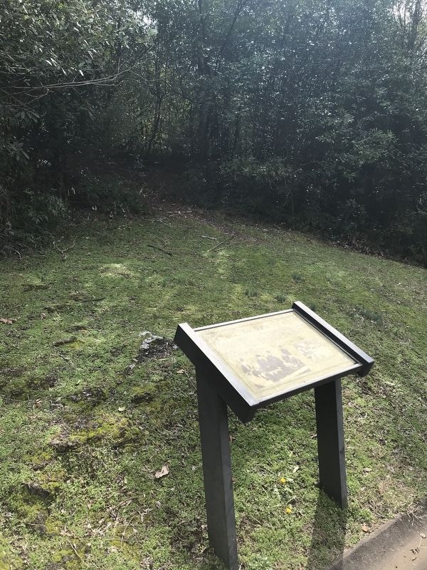
Location. 34° 30.891′ N, 93° 3.164′ W. Marker is in Hot Springs, Arkansas, in Garland County. Marker is on Grand Promenade, 0.2 miles south of Fountain Street, on the left when traveling south. Touch for map. Marker is at or near this postal address: 341 Central Avenue, Hot Springs National Park AR 71901, United States of America. Touch for directions.
Other nearby markers. At least 8 other markers are within walking distance of this marker. Dead Chief Trail (a few steps from this marker); Peak Trail (within shouting distance of this marker); Site of the State Capitol of Arkansas (within shouting distance of this marker); Superior Bathhouse (within shouting distance of this marker); Hale Bathhouse (about 300 feet away, measured in a direct line); Hot Springs' Building Boom (about 300 feet away); Open Springs (about 300 feet away); The Arlington Hotel (about 300 feet away). Touch for a list and map of all markers in Hot Springs.

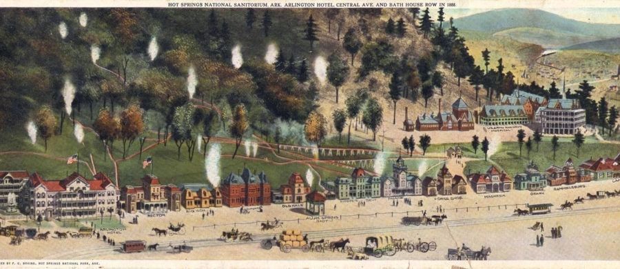
via Society for the History of Technology, 1888
3. "Hot Springs National Sanitorium AK"
Arlington Hotel, Central Avenue and Bath House Row in 1888.
"Cesspools", Springs and Sinking Pipes: A Society for the History of Technology "Technology Story's Stories" entry
Link here:
Click for more information.
"Cesspools", Springs and Sinking Pipes: A Society for the History of Technology "Technology Story's Stories" entry
Link here:
Click for more information.
Credits. This page was last revised on April 6, 2021. It was originally submitted on February 21, 2020, by Steve Masler of Memphis, Tennessee. This page has been viewed 206 times since then and 34 times this year. Photos: 1, 2. submitted on February 21, 2020, by Steve Masler of Memphis, Tennessee. 3. submitted on April 6, 2021, by Larry Gertner of New York, New York. • Devry Becker Jones was the editor who published this page.

