Near Scipio Center in Cayuga County, New York — The American Northeast (Mid-Atlantic)
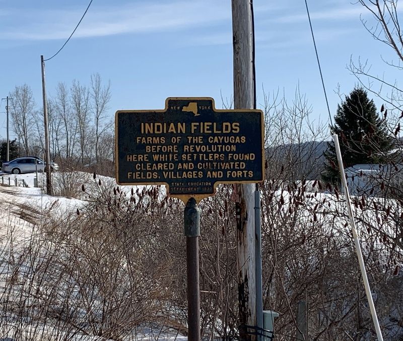
Indian Fields
before Revolution
Here white settlers found
cleared and cultivated
fields, villages and forts
Erected 1932 by State Education Department.
Topics. This historical marker is listed in these topic lists: Colonial Era • Native Americans.
Location. 42° 43.971′ N, 76° 33.259′ W. Marker is near Scipio Center, New York, in Cayuga County. Marker is on New York State Route 34, half a mile north of Ford Road, on the left when traveling north. Touch for map. Marker is in this post office area: Scipio Center NY 13147, United States of America. Touch for directions.
Other nearby markers. At least 8 other markers are within 4 miles of this marker, measured as the crow flies. Baptist Church (approx. 1.6 miles away); Waring Place (approx. 2.2 miles away); Home of Daniel Holley (approx. 3.1 miles away); Wheeler Home (approx. 3.2 miles away); Eliza Mosher (approx. 3.3 miles away); Town of Scipio (approx. 3˝ miles away); Emily Howland (approx. 3.9 miles away); Howland Stone Store Museum (approx. 3.9 miles away). Touch for a list and map of all markers in Scipio Center.
Also see . . . Cayuga Peoples. (Submitted on February 24, 2020, by Steve Stoessel of Niskayuna, New York.)
Credits. This page was last revised on February 26, 2020. It was originally submitted on February 24, 2020, by Steve Stoessel of Niskayuna, New York. This page has been viewed 385 times since then and 35 times this year. Photos: 1, 2. submitted on February 24, 2020, by Steve Stoessel of Niskayuna, New York. • Bill Pfingsten was the editor who published this page.

