Perryville in Cecil County, Maryland — The American Northeast (Mid-Atlantic)
Revered Son
Star Spangled Banner National Historic Trail-War of 1812
| — | Rodgers Tavern | — |
Photographed by Don Morfe, August 7, 2016
1. Revered Son Marker
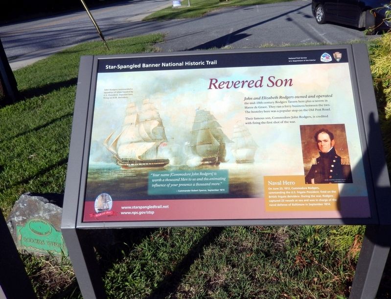
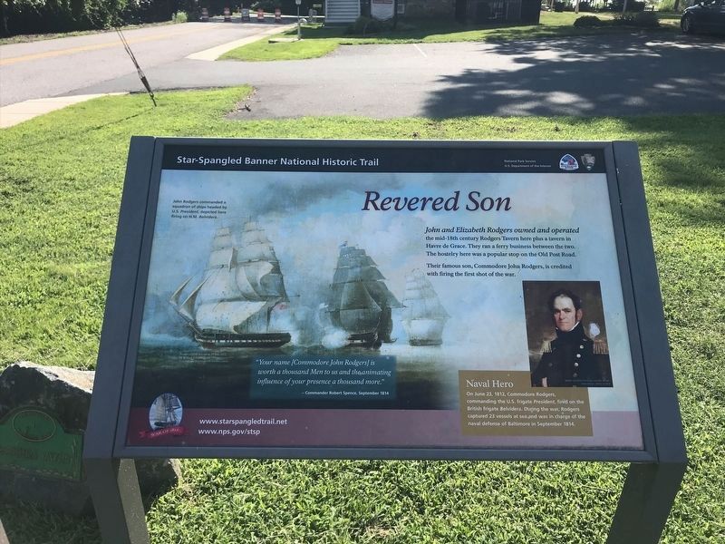
John and Elizabeth Rodgers owned and operated the mid-18th century Rodgers Tavern here plus a tavern in Havre de Grace. They ran a ferry business between the two. The hostelry here was a popular stop on the Old Post Road.
Their famous son, Commodore John Rodgers, is credited with firing the first shot of the war.
“Your name (Commodore John Rodgers) is worth a thousand Men to us and the animating influence of your presence a thousand more.”
-Commander Roger Spence, September 1814.
[Captions:]
John Rodgers commanded a squadron of ships headed by U.S. President, depicted here firing on H. M. Belvidera.
Naval Hero-On June 23, 1812, Commodore Rodgers, commanding the U.S. frigate President, fired on the British frigate Belvidera. During the war, Rodgers captured 23 vessels at sea and was in charge of the naval defense of Baltimore in September 1814.
Erected by National Park Service, U.S. Department of the Interior.
Topics and series. This historical marker is listed in these topic lists: Colonial Era • Industry & Commerce • War of 1812 • Waterways & Vessels. In addition, it is included
this page online
Location. 39° 33.439′ N, 76° 4.659′ W. Marker is in Perryville, Maryland, in Cecil County. It is at the intersection of Broad Street (Maryland Route 7) and Roundhouse Drive, on the right when traveling west on Broad Street. The marker is near the parking lot. Touch for map. Marker is at or near this postal address: 259 Broad Street, Perryville MD 21903, United States of America. Touch for directions.

Regionally, this marker is in Greater Wilmington, on the Eastern Shore, and in Greater Philadelphia. It is also in the American Mid-Atlantic, on the Delmarva Peninsula, in the Tidewater, in the Chesapeake Bay Region, and on the Eastern Seaboard. Globally, it is in the North Atlantic Region, North America, the Western Hemisphere, the Western World, and the Anglosphere. Historically, it finds itself in what was once one of the original Thirteen Colonies and also the Antebellum South.
Other nearby markers. At least 8 other markers are within walking distance of this marker: Perryville (here, next to this marker); Old Post Road
Photographed by Adam Margolis
2. Revered Son Marker
Another marker is no longer nearby. Perryville (was here, next to this marker but has been replaced with another marker now near it).
Photographed by Don Morfe, August 7, 2016
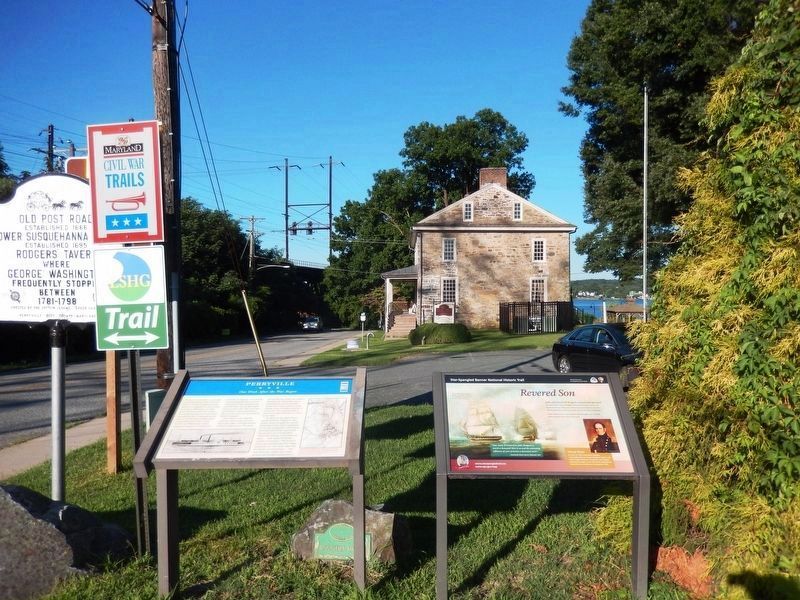
3. Perryville Marker and the Revered Son Marker
Rogers Tavern is shown in the background
Photographed by Don Morfe, August 7, 2016
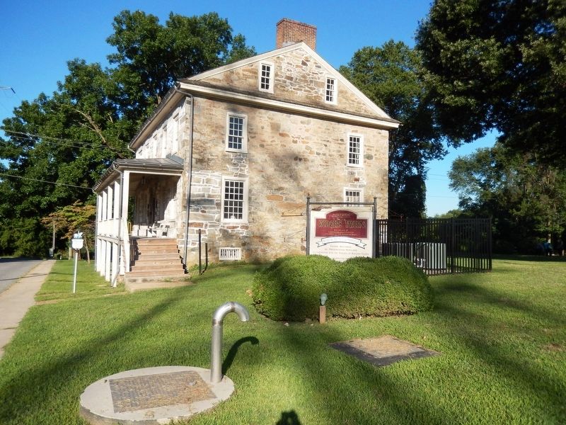
4. Rodgers Tavern-side view
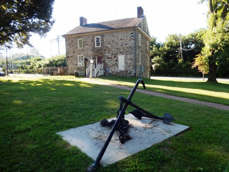
Photographed by Don Morfe, August 7, 2016
5. A rear view of Rodgers Tavern
Credits. This page was last revised on June 28, 2026. It was originally submitted on August 7, 2016, by Don Morfe of Baltimore, Maryland. This page has been viewed 725 times since then and 41 times this year. Last updated on February 24, 2020, by Carl Gordon Moore Jr. of North East, Maryland. Photos: 1. submitted on August 7, 2016, by Don Morfe of Baltimore, Maryland. 2. submitted on January 9, 2022, by Adam Margolis of Mission Viejo, California. 3, 4, 5. submitted on August 7, 2016, by Don Morfe of Baltimore, Maryland. • Bill Pfingsten was the editor who published this page.
