Near Conowingo in Cecil County, Maryland — The American Northeast (Mid-Atlantic)
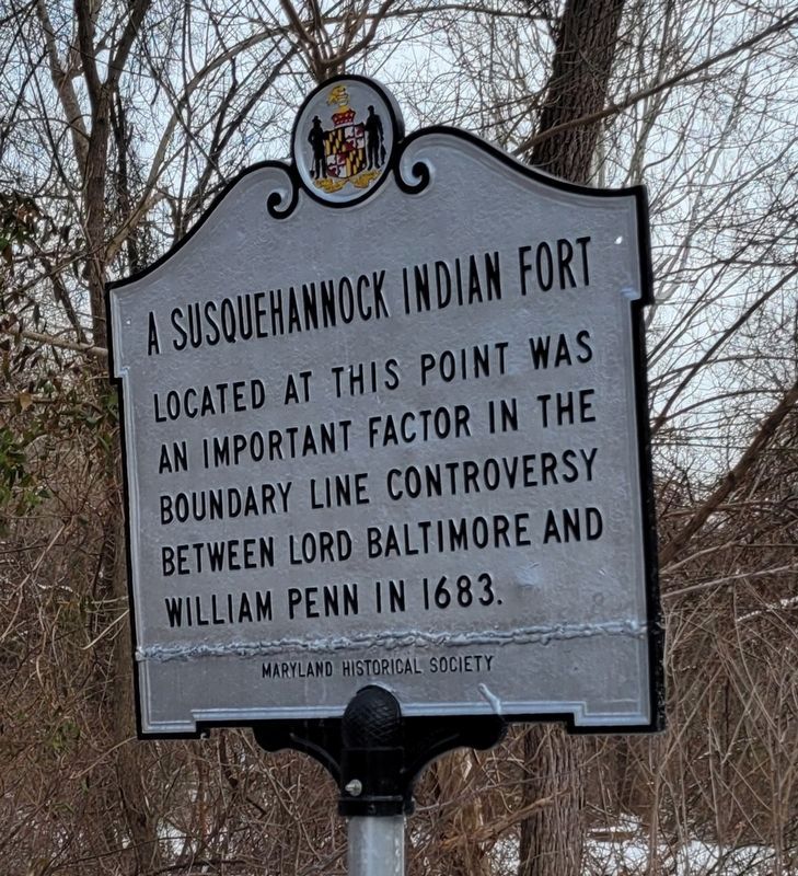
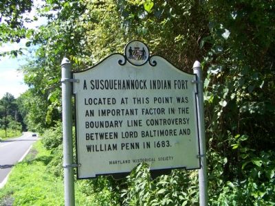
A Susquehannock Indian Fort
Erected by Maryland Historical Society.
Topics. This historical marker is listed in these topic lists: Colonial Era • Forts and Castles • Native Americans. A significant historical year for this entry is 1683.
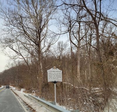
Location. 39° 39.701′ N, 76° 9.512′ W. Marker is near Conowingo, Maryland, in Cecil County. Marker is on Susquehanna River Road (Maryland Route 222) 0.8 miles south of Conowingo Road (U.S. 1), on the left when traveling south. (US 222 southern end was placed again at US 1 at Conowingo, and what was US 222 to south of US 1 became state route 222.). Touch for map. Marker is in this post office area: Conowingo MD 21918, United States of America. Touch for directions.
Other nearby markers. At least 8 other markers are within 3 miles of this marker, measured as the crow flies. Susquehanna River fishing (approx. 0.9 miles away); The Proprietors of the Susquehanna Canal (approx. 1.1 miles away); Conowingo (approx. 1.2 miles away); Lafayette at Colonel Rigbie’s House (approx. 2.6 miles away); Stafford Flint Furnace (approx. 2.7 miles away); Berkley Crossroads (approx. 2.7 miles away); Bald Friar Ford & Ferry (approx. 2.7 miles away); Keziah's Diary (approx. 2.7 miles away). Touch for a list and map of all markers in Conowingo.
Regarding A Susquehannock Indian Fort. The controversy was resolved with the boundary surveyed by Charles Mason and Jeremiah Dixon between 1763 and 1767—the “Mason-Dixon Line.”
Credits. This page was last revised on January 19, 2024. It was originally submitted on July 21, 2007, by Bill Pfingsten of Bel Air, Maryland. This page has been viewed 3,736 times since then and 78 times this year. Last updated on February 27, 2020, by Carl Gordon Moore Jr. of North East, Maryland. Photos: 1. submitted on January 19, 2024, by Kevin W. of Stafford, Virginia. 2. submitted on July 21, 2007, by Bill Pfingsten of Bel Air, Maryland. 3. submitted on January 19, 2024, by Kevin W. of Stafford, Virginia.


