Near Boonsboro in Washington County, Maryland — The American Northeast (Mid-Atlantic)
Devil's Backbone Dam Rehabilitation

Photographed By Devry Becker Jones (CC0), March 1, 2020
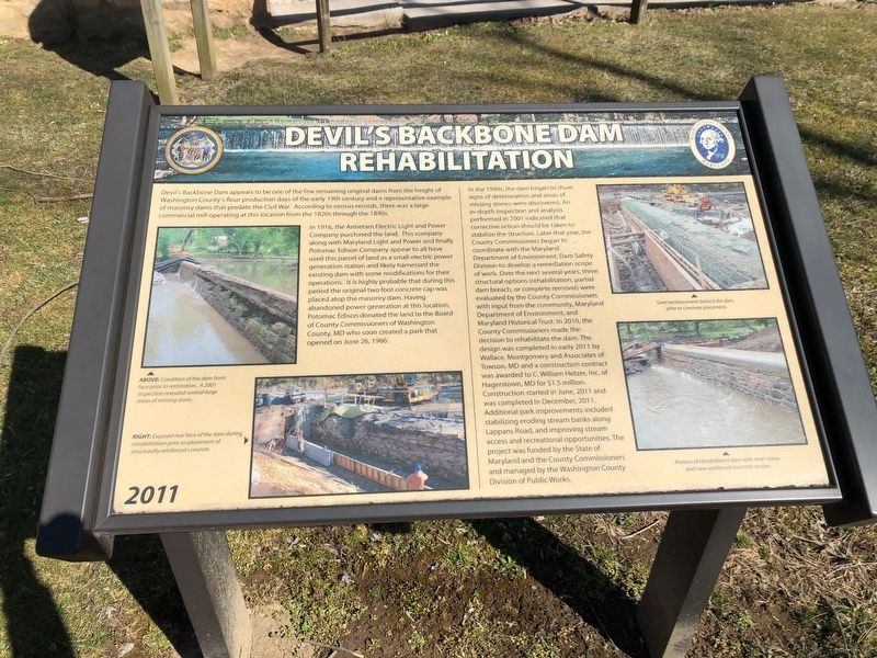
1. Devil's Backbone Dam Rehabilitation Marker
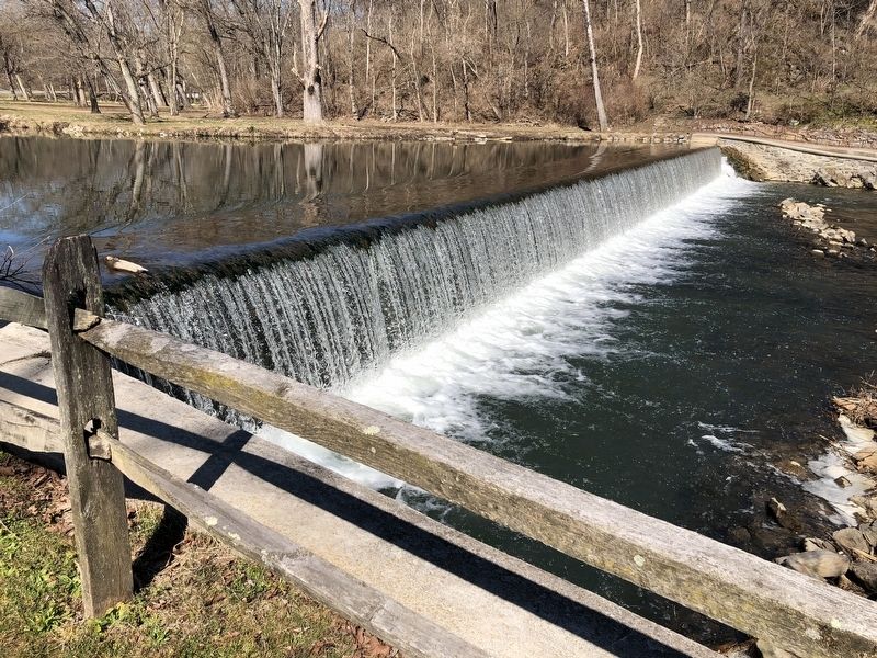
Devil's Backbone Dam appears to be one of the few remaining original dams from the height of Washington County's flour production days of the early 19th century and a representative example of masonry dams that predate the Civil War. According to census records, there was a large commercial mill operating at this location from the 1820s through the 1890s.
In 1916, the Antietam Electric Light and Power Company purchased the land. This company, along with Maryland Light and Power and finally Potomac Edison Company appear to all have used this parcel of land as a small electric power generation station and likely harnessed the existing dam with some modifications for their operations. It is highly probable that during this period the original two foot concrete cap was placed atop the masonry dam. Having abandoned power generation at this location, Potomac Edison donated the land to the Board of County Commissioners of Washington County, MD who soon created a park that opened on June 26, 1966.
In the 1990s, the dam began to show signs of deterioration and areas of missing stones were discovered. An in-depth inspection and analysis performed in 2001 indicated that corrective action should be taken to stabilize the structure. Later that year, the County Commissioners began to coordinate with the Maryland Department of Environment, Dam Safety Division to develop a remediation scope of work. Over the next several years, three structural options (rehabilitation, partial dam breach, or complete removal) were evaluated by the County Commissioners with input from the community, Maryland Department of Environment, and Maryland Historical Trust. In 2010, the County Commissioners made the decision to rehabilitate the dam. The design was completed in early 2011 by Wallace, Montgomery and Associates of Towson, MD and a construction contract was awarded to C. William Hetzer, Inc. of Hagerstown, MD for $1.5 million. Construction started in June, 2011 and was completed in December, 2011. Additional park improvements included stabilizing eroding stream banks along Lappans Road, and improving stream access and recreational opportunities. The project was funded by the State of Maryland and the County Commissioners and managed by the Washington County Division of Public Works.
Erected by Washington County, Maryland.
Topics. This historical marker is listed in these topic lists: Industry & Commerce • Parks & Recreational Areas • Waterways & Vessels. A significant historical date for this entry is June 26, 1966.
Location. 39° 32.325′ N, 77° 42.626′ W. Marker is near Boonsboro, Maryland, in Washington County. Marker is on

Photographed By Devry Becker Jones (CC0), March 1, 2020
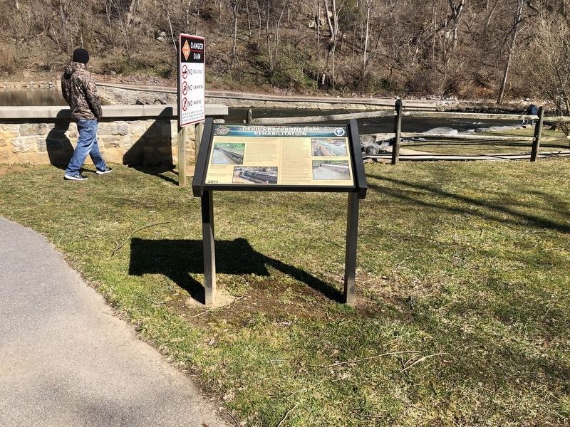
2. Devil's Backbone Dam Rehabilitation Marker
Other nearby markers. At least 8 other markers are within 3 miles of this marker, measured as the crow flies. Council of War (within shouting distance of this marker); Booth’s Mill Bridge (about 500 feet away, measured in a direct line); Roxbury Mills Bridge (approx. 1.1 miles away); St. Mark's Episcopal Church (approx. 1˝ miles away); Jones’ Crossroads (approx. 1.7 miles away); Jones’s Crossroads (approx. 1.8 miles away); Battle of Boonsboro (approx. 2.6 miles away); Gettysburg Campaign (approx. 2.8 miles away). Touch for a list and map of all markers in Boonsboro.
Credits. This page was last revised on December 6, 2021. It was originally submitted on March 1, 2020, by Devry Becker Jones of Washington, District of Columbia. This page has been viewed 336 times since then and 75 times this year. Photos: 1, 2, 3. submitted on March 1, 2020, by Devry Becker Jones of Washington, District of Columbia.
