Hatteras in Dare County, North Carolina — The American South (South Atlantic)
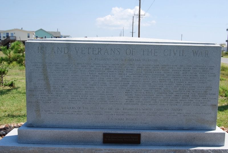
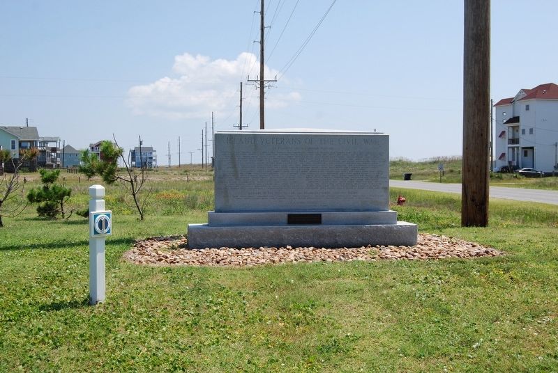
Island Veterans of the Civil War / America's 1st Amphibious Assault of the Civil War
Side 1
1st Regiment North Carolina Infantry
(Names not transcribed)
Soldiers of the 17th, 32nd or 33rd Regiments North Carolina Troops
(Names not transcribed)
Side 2
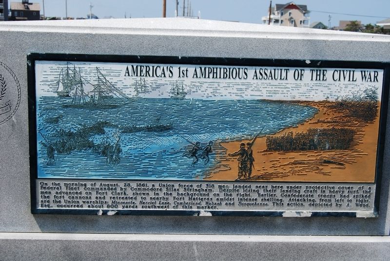
America's 1st Amphibious Assault of the Civil War
On the morning of August 28, 1861, a Union force of 318 men landed near here under protective cover of a Federal fleet commanded by Commodore Silas Stringham. Despite losing their landing craft in heavy surf, the men advanced on Fort Clark, shown in the background on the right. Earlier, Confederate troops had spiked the fort cannons and retreated to nearby Fort Hatteras amidst intense shelling. Attacking from left to right are the Union warships: Minnesota, Harriet Lane, Cumberland, Wabash and Susquehanna. This action, depicted by A. Waud Esq., occurred about 800 yards southeast of this marker.
Topics. This memorial is listed in these topic lists: War, US Civil • Waterways & Vessels. A significant historical date for this entry is August 28, 1861.
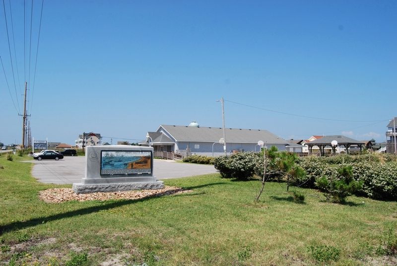
Location. 35° 12.967′ N, 75° 40.405′ W. Marker is in Hatteras, North Carolina, in Dare County. Memorial is at the intersection of State Highway 12 and Elizabeth Avenue, on the right when traveling west on State Highway 12. Located at the east end of the Hatteras Civic Center parking lot. Touch for map. Marker is in this post office area: Hatteras NC 27943, United States of America. Touch for directions.
Other nearby markers. At least 8 other markers are within 2 miles of this marker, measured as the crow flies. Welcome to Hatteras Village (a few steps from this marker); Billy Mitchell (approx. 0.4 miles away); U.S.S. Monitor (approx. half a mile away); America's 1st Attempt at Civil War Reunification (approx. one mile away); Storm Watch (approx. one mile away); Confederate Forts (approx. 1.7 miles away); Welcome to captivating Hatteras Island… (approx. 1.7 miles away); Propeller From USS Dionysus (approx. 1.8 miles away). Touch for a list and map of all markers in Hatteras.
Credits. This page was last revised on April 8, 2020. It was originally submitted on March 2, 2020, by Mike Wintermantel of Pittsburgh, Pennsylvania. This page has been viewed 249 times since then and 19 times this year. Photos: 1, 2, 3, 4. submitted on April 7, 2020, by Mike Wintermantel of Pittsburgh, Pennsylvania.


