Sarasota in Sarasota County, Florida — The American South (South Atlantic)
South Lido Park
Side 1
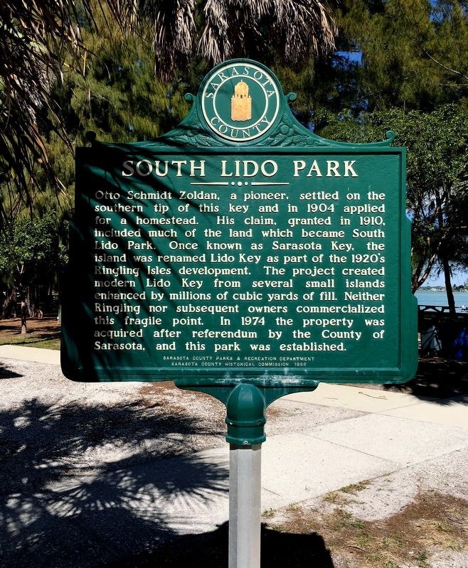
Otto Schmidt Zoldan, a pioneer, settled on the southern tip of this key and in 1904 applied for a homestead. His claim, granted in 1910, included much of the land which became South Lido Park. Once known as Sarasota Key, the island was renamed Lido Key as part the 1920s Ringling Isles development. The project created modern Lido Key from several small islands enhanced by millions of cubic yards of fill. Neither Ringling nor subsequent owners commercialized this fragile point. In 1974 the property was acquired after referendum by the County of Sarasota, and this park was established.
Side 2
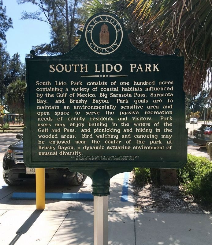
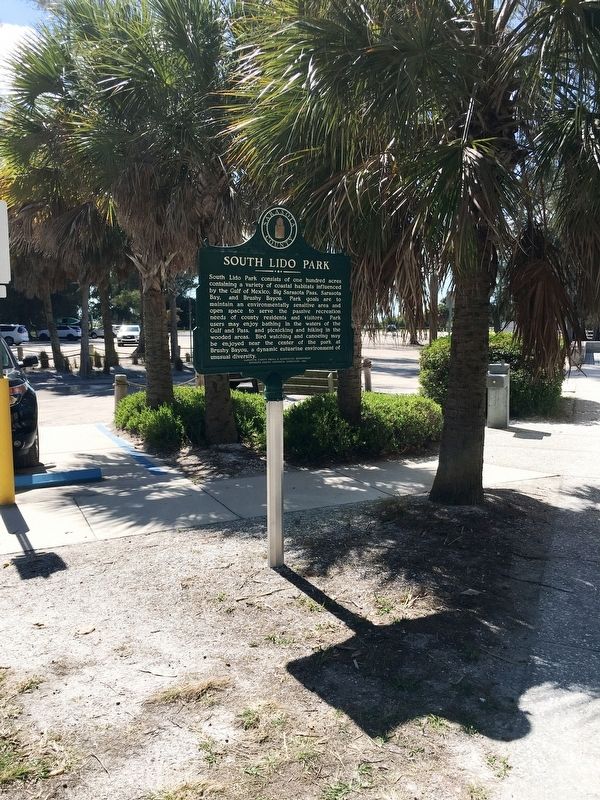
South Lido Park consists of one hundred acres containing a variety of coastal habitats influenced by the Gulf of Mexico, Big Sarasota Pass, Sarasota Bay, and Brushy Bayou. Park goals are to maintain an environmentally sensitive area and open space to serve the passive recreation needs of county residents and visitors. Park users may enjoy bathing in the waters of the Gulf and Pass, and picnicking and hiking in the wooded areas. Bird watching and canoeing may be enjoyed near the center of the park at Brushy Bayou, a dynamic estuarine environment of unusual diversity.
Erected 1986 by Sarasota County Parks & Recreation Department and Sarasota County Historical Commission.
Topics. This historical marker is listed in these topic lists: Environment • Parks & Recreational Areas • Settlements & Settlers. A significant historical year for this entry is 1904.
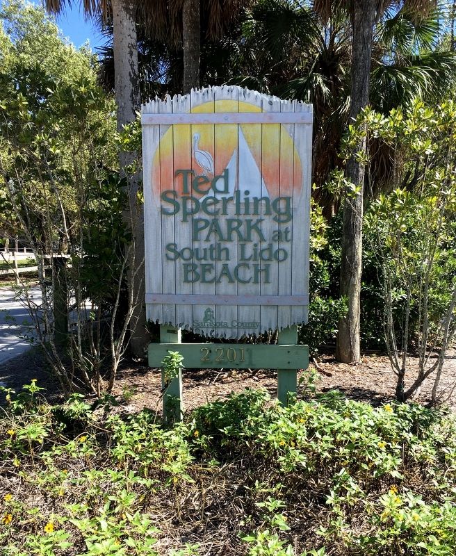
Location. 27° 17.971′ N, 82° 33.958′ W. Marker is in Sarasota, Florida, in Sarasota County. Marker can be reached from the intersection of Benjamin Franklin Dr and Taft Drive, on the left when traveling south. Located at the Ted Sperling Nature Park. Touch for map. Marker is at or near this postal address: 2150 Benjamin Franklin Dr, Sarasota FL 34236, United States of America. Touch for directions.
Other nearby markers. At least 8 other markers are within 2 miles of this marker, measured as the crow flies. Siesta / Harry L. Higel (approx. 0.6 miles away); Gulf Beach Motel (approx. 0.8 miles away); Lido Beach Casino/Ralph Spencer Twitchell (approx. one mile away); Beach Segregation (approx. 1.1 miles away); Cucciolo (approx. 1.4 miles away); The Cristiani Family (approx. 1.4 miles away); Emmett Kelly (approx. 1.4 miles away); Tito Gaona and Family (approx. 1.4 miles away). Touch for a list and map of all markers in Sarasota.
Credits. This page was last revised on November 22, 2022. It was originally submitted on March 8, 2020, by Brandon D Cross of Flagler Beach, Florida. This page has been viewed 208 times since then and 37 times this year. Photos: 1, 2, 3, 4. submitted on March 8, 2020, by Brandon D Cross of Flagler Beach, Florida. • Bernard Fisher was the editor who published this page.


