Near Eva in Benton County, Tennessee — The American South (East South Central)
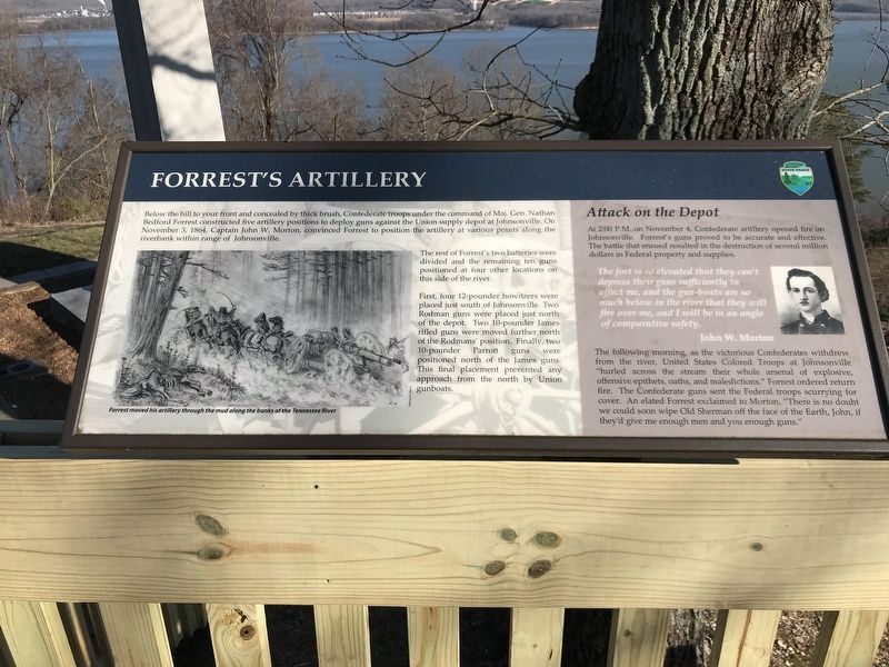
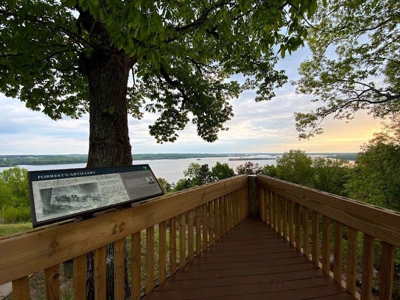
Forrest's Artillery
Photographed by Duane and Tracy Marsteller, March 8, 2020
1. Forrest's Artillery Marker
The rest of Forrest's two batteries were divided and the remaining ten guns positioned at four other locations on this side of the river.
First, four 12-pounder howitzers were placed just south of Johnsonville. Two Rodman guns were placed just north of the depot. Two 10-pounder James rifled guns were moved further north of the Rodmans' position. Finally, two 10-pounder Parrott guns were positioned north of the James guns. This final placement prevented any approach from the north by Union gunboats.
Attack on the Depot
At 2:00 P.M. on November 4, Confederate artillery opened fire on Johnsonville. Forrest's guns proved to be accurate and effective. The battle that ensued resulted in the destruction of several million dollars in
this page online
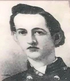
The fort is so elevated that they can't depress their guns sufficiently to affect me, and the gun-boats are so much below in the river that they will fire over me, and I will be in an angle of comparative safety.
John W. Morton
The following morning, as the victorious Confederates withdrew from the river, United States Colored Troops at Johnsonville "hurled across the stream their whole arsenal of explosive, offensive epithets, oaths, and maledictions.” Forrest ordered return fire. The Confederate guns sent the Federal troops scurrying for cover. An elated Forrest exclaimed to Morton, "There is no doubt we could soon wipe Old Sherman off the face of the Earth, John, if they'd give me enough men and you enough guns."
(caption)
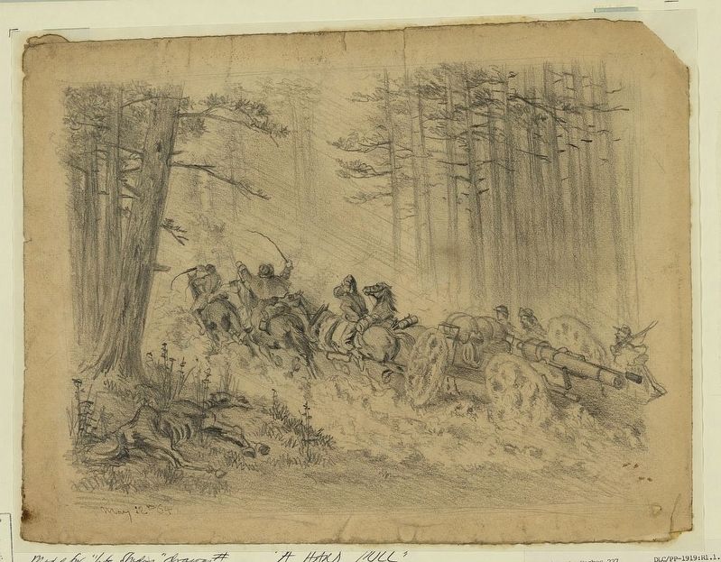
Forrest moved his artillery through the mud along the banks of the Tennessee River
Erected by Tennessee State Parks.
Topics. This historical marker is listed in these topic lists: Forts and Castles • Parks & Recreational Areas • War, US Civil. A significant historical date for this entry is November 3, 1864.
Location. 36° 5.31′ N, 87° 58.448′ W. Marker is near Eva, Tennessee,
Photographed by Darren Jefferson Clay, April 18, 2021
2. Forrest's Artillery Marker

Regionally, this marker is in West Tennessee and in the Highland Rim. It is also in the American South and specifically in the Upper South. Globally, it is in North America, the Western Hemisphere, the Western World, and the Anglosphere. Historically, it finds itself in what was once the territory of the Mississippian Culture, one of the Confederate States of America, and the Antebellum South.
Other nearby markers. At least 8 other markers are within 2 miles of this marker, measured as the crow flies: Injuring Sherman (here, next to this marker); Nathan Bedford Forrest Monument (a few steps from this marker); Battle of Johnsonville (within shouting distance of this marker); Cabin Logs (approx. ¼ mile away); Artillery at Johnsonville (approx. 1.8 miles away); The Tennessee River in the Civil War
Photographed by Edwin Forbes, May 12, 1864
3. A stormy march--(Artillery)--Spotsylvania Court House
Library of Congress [LC-DIG-ppmsca-20697]
Photographed by Duane and Tracy Marsteller, March 8, 2020
4. John W. Morton
Credits. This page was last revised on May 12, 2023. It was originally submitted on March 9, 2020, by Duane and Tracy Marsteller of Murfreesboro, Tennessee. This page has been viewed 353 times since then and 33 times this year. Photos: 1. submitted on March 9, 2020, by Duane and Tracy Marsteller of Murfreesboro, Tennessee. 2. submitted on May 11, 2023, by Darren Jefferson Clay of Duluth, Georgia. 3. submitted on March 9, 2020. 4. submitted on March 9, 2020, by Duane and Tracy Marsteller of Murfreesboro, Tennessee. • Bernard Fisher was the editor who published this page.
