Franklin in Williamson County, Tennessee — The American South (East South Central)
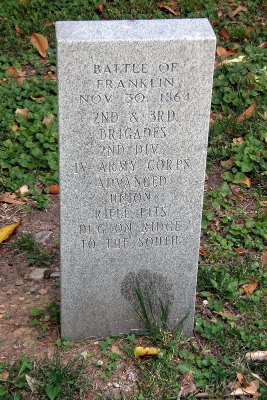
Battle of Franklin
Nov. 30, 1864
Photographed by Larry Gertner, June 16, 2019
1. Battle of Franklin rifle pits marker
Brigades
2nd Div.
IV Army Corps
Advanced
Union
rifle pits
dug on ridge
to the south
Topics. This historical marker is listed in this topic list: War, US Civil. A significant historical date for this entry is November 30, 1864.
Location. 35° 54.822′ N, 86° 52.436′ W. Marker is in Franklin, Tennessee, in Williamson County. It can be reached from Columbia Avenue (Business U.S. 31) north of Everbright Avenue, on the left when traveling north. Touch for map. Marker is at or near this postal address: across from 1327 Columbia Avenue, Franklin TN 37064, United States of America. Touch for directions.

Regionally, this marker is in Middle Tennessee and in Greater Nashville. It is also in the American South and specifically in the Upper South. Globally, it is in North America, the Western Hemisphere, the Western World, and the Anglosphere. Historically, it finds itself in what was once the territory of the Mississippian Culture, one of the Confederate States of America, and the Antebellum South.
Other nearby markers. At least 8 other markers are within walking distance of this marker: Battle Ground Academy (here, next to this marker); a different marker also named Battle Ground Academy (within shouting distance of this marker); The Carter Farm (about 700 feet away, measured in a direct line); Stewart's Corps on the Eastern Flank (about 700 feet away); Beasley Town / Bate's Division on the Western Flank (about 700 feet away); a different marker also named The Carter Farm (about 700 feet away); Wagner's Advanced Line (about 700 feet away); a different marker also named The Carter Farm (about 700 feet away). Touch for a list and map of all markers in Franklin.
Another marker is no longer nearby. The Cotton Gin Assault (was about 700 feet away but has been confirmed missing).
Regarding Battle of Franklin. Due
this page online
Related marker. Click here for another marker that is related to this marker. Williamson County Historical Society "Federal Forward Line" plaque.
Photographed by Larry Gertner, June 16, 2019
2. Battle of Franklin rifle pits marker
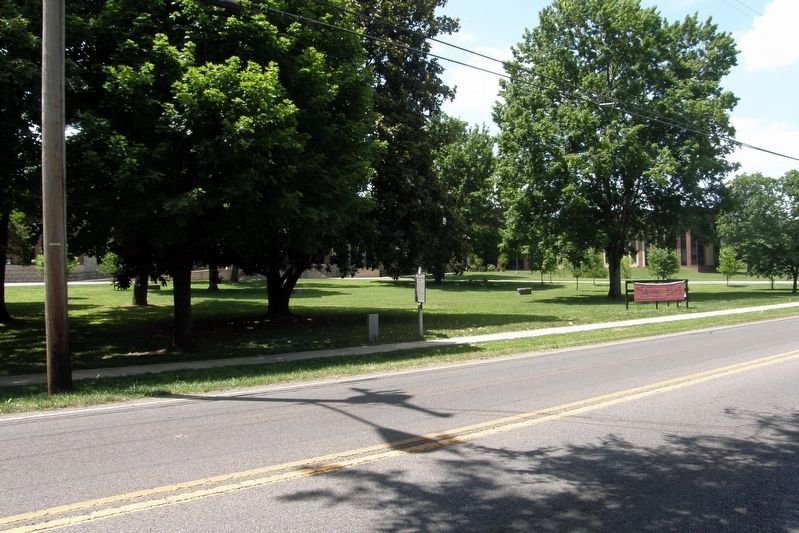
The Tennessee Historical Commission "Battle Ground Academy" plaque is adjacent. The actual site of the rifle pits are about 250 yards to the south.
Photographed by Unknown, 1874
3. Battle of Franklin battlefield map
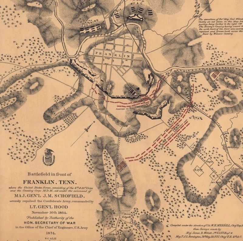
The two brigades held the "V" about 650 yards in advance of the Union main line.
Credits. This page was last revised on March 14, 2020. It was originally submitted on March 12, 2020, by Larry Gertner of New York, New York. This page has been viewed 450 times since then and 33 times this year. Photos: 1, 2, 3. submitted on March 12, 2020, by Larry Gertner of New York, New York. • Bernard Fisher was the editor who published this page.
