Brentwood in Northeast Washington in Washington, District of Columbia — The American Northeast (Mid-Atlantic)
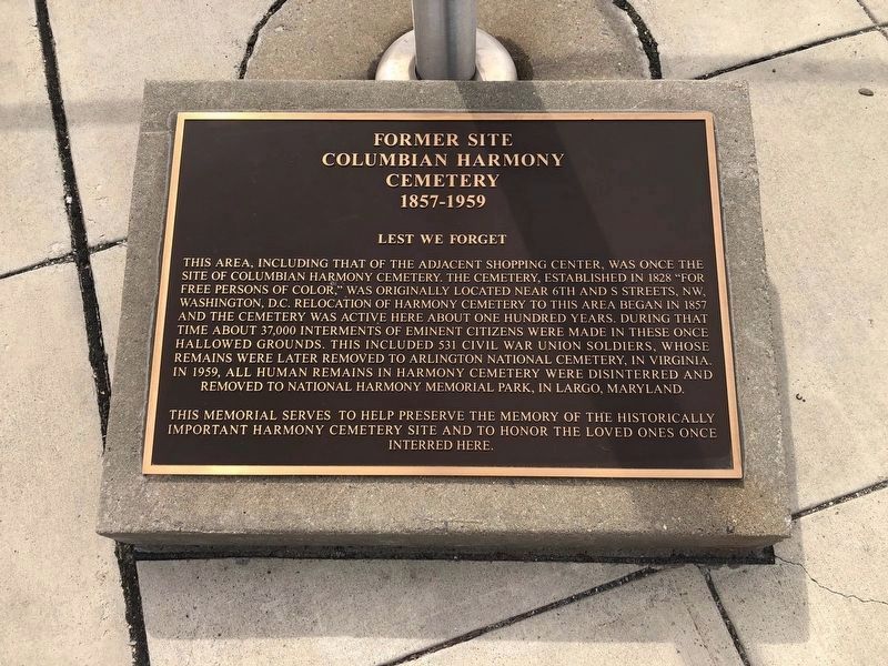
Former Site Columbian Harmony Cemetery
1857 - 1959
— Lest We Forget —

Photographed By Devry Becker Jones (CC0), March 13, 2020
1. Former Site Columbian Harmony Cemetery Marker
This area, including that of the adjacent shopping center, was once the site of Columbian Harmony Cemetery. The cemetery, established in 1828 "for free persons of color," was originally located near 6th and S Streets, NW, Washington, D.C. Relocation of Harmony Cemetery to this area bean in 1857 and the cemetery was active here about one hundred years. During that time about 37,000 interments of eminent citizens were made in these once hallowed grounds. This included 531 Civil War Union soldiers, whose remains were later removed to Arlington National Cemetery, in Virginia. In 1959, all human remains in Harmony Cemetery were disinterred and removed to National Harmony Memorial Park, in Largo, Maryland.
This memorial serves to help preserve the memory of the historically important Harmony Cemetery site and to honor the loved ones once interred here.
Topics. This historical marker is listed in these topic lists: African Americans • Cemeteries & Burial Sites • War, US Civil. A significant historical year for this entry is 1828.
Location. 38° 55.19′ N, 76° 59.754′ W. Marker is in Northeast Washington in Washington, District of Columbia. It is in Brentwood. Marker is on Washington Place Northeast, 0.3 miles south of Rhode Island Avenue Northeast (U.S. 1), on the right when traveling south. Touch for map. Marker is in this post office area: Washington DC 20018, United States of America. Touch for directions.
Other nearby markers. At least 8 other markers are within walking distance of this marker. Former Site, Columbian Harmony Cemetery (within shouting distance of this marker); Crosby S. Noyes Elementary School (approx. 0.4 miles away); Stone Straw Building (approx. 0.4 miles away); Iglesia La Luz del Mundo (approx. half a mile away); The Glenwood Cemetery Chapel (approx. 0.6 miles away); Prospect Hill Cemetery (approx. 0.6 miles away); The Meadow (approx. 0.6 miles away); Alethia "Lethe" Tanner (approx. 0.6 miles away). Touch for a list and map of all markers in Northeast Washington.

Photographed By Devry Becker Jones (CC0), March 13, 2020
2. Former Site Columbian Harmony Cemetery Marker
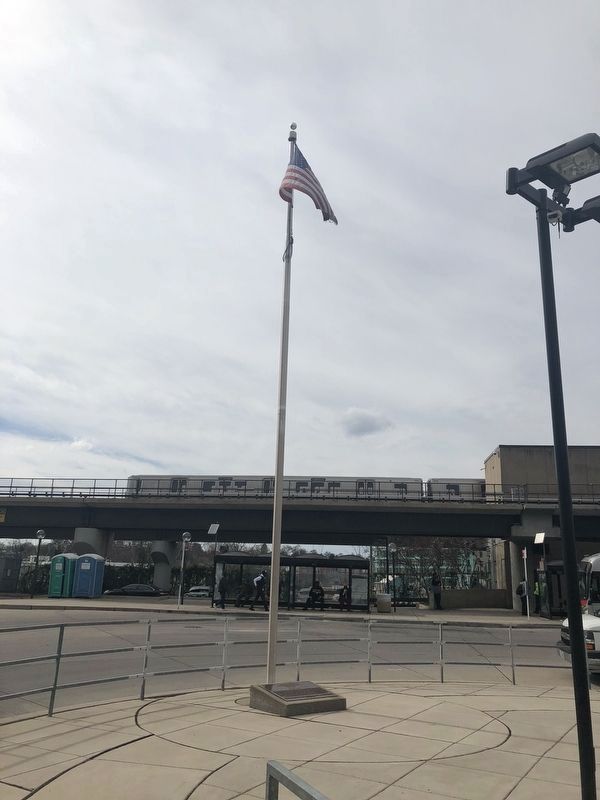
The marker is on the base of the flagpole.
Credits. This page was last revised on January 30, 2023. It was originally submitted on March 13, 2020, by Devry Becker Jones of Washington, District of Columbia. This page has been viewed 289 times since then and 31 times this year. Photos: 1, 2. submitted on March 13, 2020, by Devry Becker Jones of Washington, District of Columbia.