Cottondale in Wise County, Texas — The American South (West South Central)
Cottondale
Photographed by J Frye, March 18, 2020
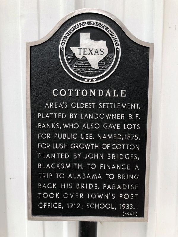
1. Cottondale Marker
Area's oldest settlement. Platted by landowner B. F. Banks, who also gave lots for public use. Named, 1875, for lush growth of cotton planted by John Bridges, blacksmith, to finance a trip to Alabama to bring back his bride. Paradise took over town's post office, 1912; school, 1933.
(1968)
Erected 1968 by State Historical Survey Committee. (Marker Number 1078.)
Topics. This historical marker is listed in these topic lists: Agriculture • Parks & Recreational Areas • Settlements & Settlers. A significant historical year for this entry is 1875.
Location. 33° 3.9′ N, 97° 42.379′ W. Marker is in Cottondale, Texas, in Wise County. It is on Unnamed road west of Highway 3585, on the left when traveling west. Touch for map. Marker is in this post office area: Paradise TX 76073, United States of America. Touch for directions.

Regionally, this marker is in the Prairies & Lakes Region and in the Dallas-Fort Worth Metropolitan Area. Globally, it is in North America, a Gulf of Mexico state, the Western Hemisphere, the Western World, and the Anglosphere. Historically, it finds itself in what was once
this page online
Other nearby markers. At least 8 other markers are within 6 miles of this marker, measured as the crow flies: "Machine Gun" Kelley (within shouting distance of this marker); Dallas, Pacific & Southeastern Railway (approx. 3 miles away); Paschall (approx. 3.2 miles away); Site of Draco (approx. 3½ miles away); Keeter Cemetery (approx. 5.8 miles away); First Christian Church of Paradise (approx. 6 miles away); Dr. M. W. Matthews (approx. 6.1 miles away); George Lafayette Ramsdale (approx. 6.1 miles away).
Also see . . . Cottondale, Texas. (Submitted on March 18, 2020.)
Photographed by J Frye, March 18, 2020
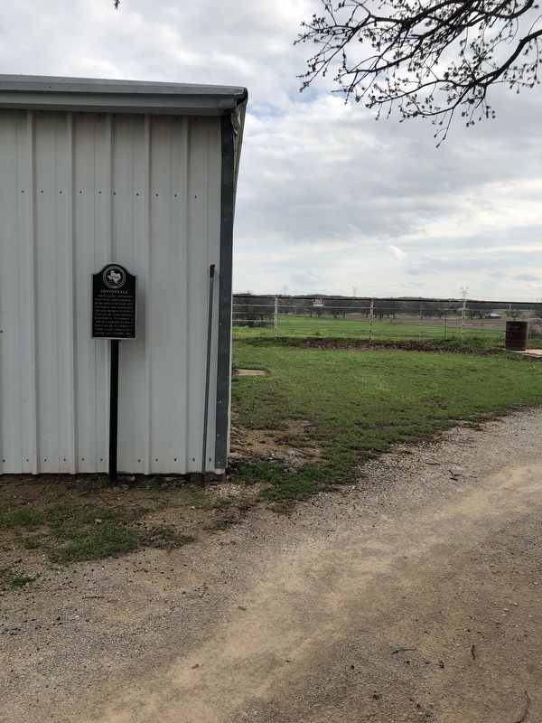
2. Cottondale Marker
Photographed by J Frye, March 18, 2020
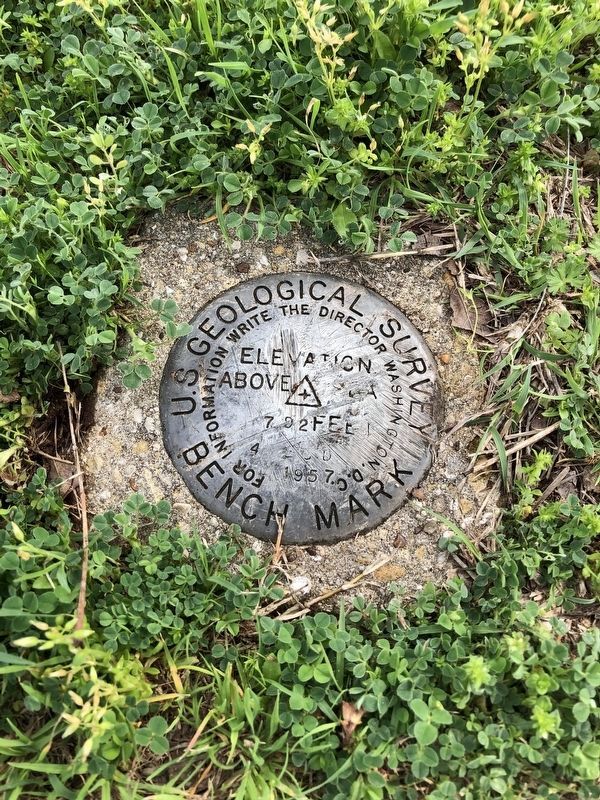
3. A USGS marker near the Cottondale Marker

Photographed by Jeff Leichsenring, August 30, 2026
4. Cottondale Marker
"Machine Gun" Kelley marker (18184) can be seen in the background, to the right
Credits. This page was last revised on September 1, 2026. It was originally submitted on March 18, 2020, by J Frye of Fort Worth, Texas. This page has been viewed 951 times since then and 62 times this year. Photos: 1, 2, 3. submitted on March 18, 2020, by J Frye of Fort Worth, Texas. 4. submitted on August 30, 2026, by Jeff Leichsenring of Garland, Texas. • J. Makali Bruton was the editor who published this page.
