Franklin in Williamson County, Tennessee — The American South (East South Central)
Protecting Our Historic Resources
Winstead Hill & The Battle of Franklin
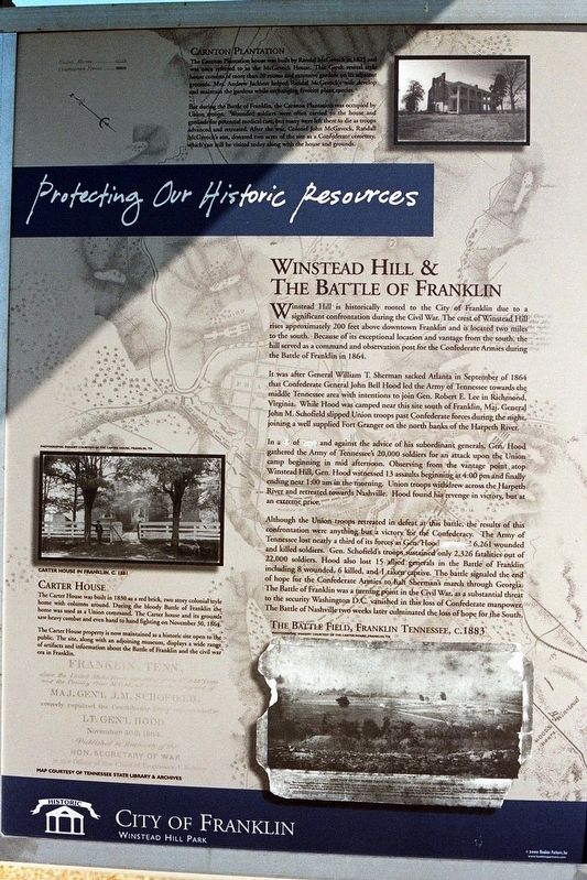
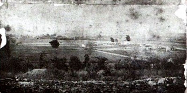
Winstead Hill is historically rooted to the City of Franklin due to a significant confrontation during the Civil War. The crest of Winstead Hill rises approximately 200 feet above downtown Franklin and is located two miles to the south. Because of its exceptional location and vantage from the south, the hill served as a command and observation post for the Confederate armies during the Battle of Franklin in 1864.
It was after General William T. Sherman sacked Atlanta in September of 1864 that Confederate General John Hood Bell led the Army of Tennessee towards the middle Tennessee area with intentions to join Gen. Robert E. Lee in Richmond, Virginia. While Hood was camped near this site south of Franklin, Maj. General John M. Schofield slipped Union troops past Confederate forces during the night, joining a well supplied Fort Granger on the north banks of the Harpeth River.
In a (fit?) of (rage?) and against the advice of his subordinate generals, Gen. Hood gathered the Army of Tennessee’s 20,000 soldiers for an attack upon the Union camp beginning in mid afternoon. Observing from the vantage point atop Winstead Hill, Gen. Hood witnessed 13 assaults beginning at 4:00pm and finally ending near 1:00am in the morning. Union troops withdrew across the Harpeth River and retreated towards Nashville. Hood found his revenge in victory, but at an extreme price.
Although the Union troops retreated in defeat at this battle, the results of this confrontation were anything but a victory for the Confederacy. The Army of Tennessee lost nearly a third of its forces as Gen. Hood (sacrificed?) 6,261 wounded and killed soldiers. Gen. Schofield’s troops sustained only 2,326 fatalities out of 22,000 soldiers. Hood also lost 15 allied generals in the battle of Franklin, including 8 wounded, 6 killed and 1 taken captive. The battle signaled the end of hope for the Confederate Armies to halt Sherman’s march through Georgia. The Battle of Franklin was a turning point in the Civil War, as a substantive threat to the security (of) Washington D.C. vanished in this loss of Confederate manpower. The Battle of Nashville two weeks later culminated (in) the loss of hope for the South.
Inset
Carnton Plantation
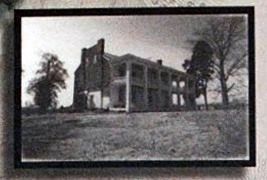
The Carnton Plantation house was built by Randall McGavock in 1825 and was once referred to as the McGavock House. This Greek revival style house consists of more than 20 rooms and extensive gardens on its adjacent grounds. Mrs. Andrew Jackson helped Randal McGavock’s wife develop and maintain the gardens while exchanging favorite plant species.
But during the Battle of Franklin, the Carnation Plantation was occupied by Union troops. Wounded soldiers were
often carried to the house and grounds for potential medical care, but many were left there to die as troops advanced and retreated. After the war, Colonel John McGavock, Randall McGavock’s son, donated two acres of the site as a Confederate cemetery, which can still be visited today along with the house and the grounds.
Inset
Carter House
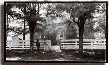
The Carter House was built in 1830 as a red brick, two story colonial style home with columns around. During the bloody Battle of Franklin the home was used as a Union command. The Carter house and its grounds saw heavy combat and even hand to hand fighting on November 30, 1864.
The Carter House property is now maintained as a historic site open to the public. The site, along with an adjoining museum, displays a wide range of artifacts and information about the Battle of Franklin and the civil war era in Franklin.
Erected by City of Franklin.
Topics. This historical marker is listed in these topic lists: Parks & Recreational Areas • War, US Civil. A significant historical date for this entry is November 30, 1864.
Location. 35° 53.374′ N, 86° 52.696′ W. Marker is in Franklin, Tennessee, in Williamson County. Marker is on Columbia Avenue (U.S. 31) 0.2 miles south of Mack C Hatcher Memorial Parkway, on the right when traveling south. Touch for map. Marker is at or near this postal address: 4023 Columbia Ave, Franklin TN 37064, United States of America. Touch for directions.
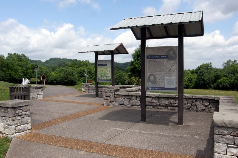
Other nearby markers. At least 8 other markers are within walking distance of this marker. Welcome to Winstead Hill Park (here, next to this marker); Winstead Hill (within shouting distance of this marker); States Rights Gist (about 300 feet away, measured in a direct line); Brigadier General Hiram B. Granbury (about 300 feet away); Otho F. Strahl (about 300 feet away); John C. Carter (about 300 feet away); John Adams (about 300 feet away); To The Soldiers Of Florida (about 300 feet away). Touch for a list and map of all markers in Franklin.
More about this marker. The marker is marred by grammatical errors and an outside party’s attempt at censorship.
Also see . . . Winstead Hill Park. City of Franklin (Submitted on March 22, 2020.)
Credits. This page was last revised on March 22, 2020. It was originally submitted on March 21, 2020, by Larry Gertner of New York, New York. This page has been viewed 130 times since then and 11 times this year. Photos: 1, 2, 3, 4, 5. submitted on March 21, 2020, by Larry Gertner of New York, New York. • Bernard Fisher was the editor who published this page.
