Brockville in Leeds and Grenville United Counties, Ontario — Central Canada (North America)
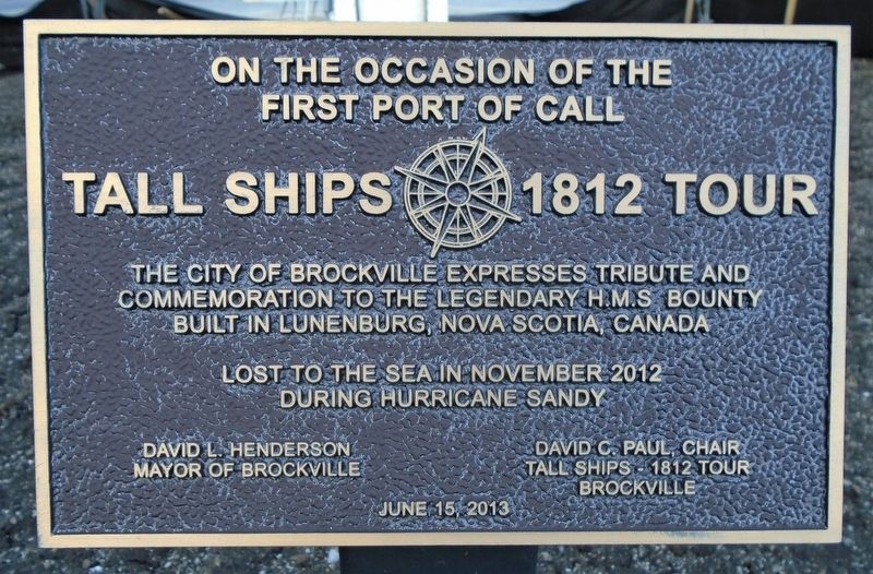
Tall Ships 1812 Tour
first port of call
The City of Brockville expresses tribute and
commemoration to the legendary H.M.S. Bounty
built in Lunenburg, Nova Scotia, Canada
Lost to the sea in November 2012
during Hurricane Sandy
[Dedicated] June 15, 2013
Erected 2013 by City of Brockville and Tall Ships- 1812 Tour.
Topics and series. This historical marker is listed in this topic list: Waterways & Vessels. In addition, it is included in the Lost at Sea series list. A significant historical date for this entry is June 15, 2013.
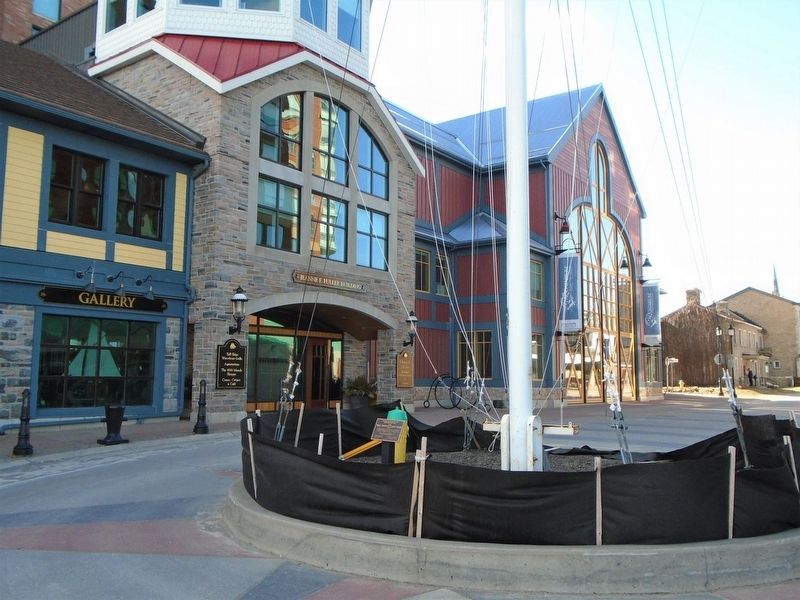
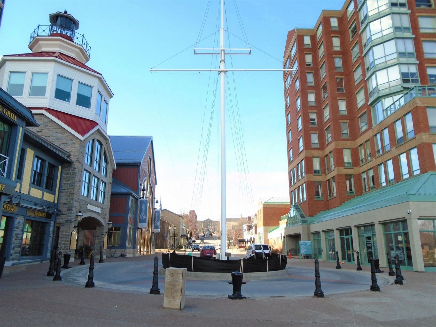
Location. 44° 35.269′ N, 75° 40.935′ W. Marker is in Brockville, Ontario, in Leeds and Grenville United Counties. Marker is on Broad Street just south of Flint Street, on the left when traveling south. Marker is at the traffic roundabout at the south end of Broad Street, at the ship's mast near the harbour. Touch for map. Marker is in this post office area: Brockville ON K6V 0C4, Canada. Touch for directions.
Other nearby markers. At least 8 other markers are within walking distance of this marker. James Hall & Co. Ontario Glove Works 1865 - 1917 (a few steps from this marker); Ruth & David Robertson House (within shouting distance of this marker); SS Kingston (about 90 meters away, measured in a direct line); Con Darling (about 90 meters away); Blockhouse Island (about 90 meters away); The Wreck of the ROBERT GASKIN (about 90 meters away); a different marker also named Blockhouse Island (about 90 meters away); Brockville Pipes & Drums (about 90 meters away). Touch for a list and map of all markers in Brockville.
Also see . . .
1. TALL SHIPS 1812 Tour in Brockville (2013 blog). (Submitted on March 21, 2020, by William Fischer, Jr. of Scranton, Pennsylvania.)
2. Tall Ships Brockville. (Submitted on March 21, 2020, by William Fischer, Jr. of Scranton, Pennsylvania.)
3. Tall Ships Brockville 2013 on YouTube. (Submitted on March 21, 2020, by William Fischer, Jr. of Scranton, Pennsylvania.)
Credits. This page was last revised on March 18, 2022. It was originally submitted on March 21, 2020, by William Fischer, Jr. of Scranton, Pennsylvania. This page has been viewed 97 times since then and 7 times this year. Photos: 1, 2, 3. submitted on March 21, 2020, by William Fischer, Jr. of Scranton, Pennsylvania.


