Old Town North in Alexandria, Virginia — The American South (Mid-Atlantic)
The Tale of Spa Spring
Alexandria Heritage Trail
— City of Alexandria, Virginia —
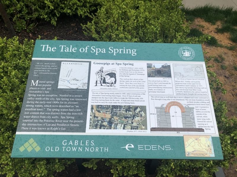
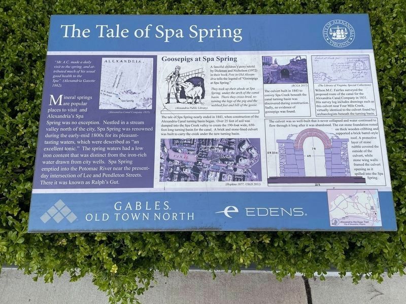
"Mr. A.C. made a daily visit to the spring, and attributed much of his usual good health to the Spa" (Alexandria Gazette 1862).
Mineral springs are popular places to visit and Alexandria's Spa Spring was no exception. Nestled in a stream valley north of the city, Spa Spring was renowned during the early-mid 1800s for its pleasant-tasting waters, which were described as "an excellent tonic." The spring waters had a low iron content that was distinct from the iron-rich water drawn from city wells. Spa Spring emptied into the Potomac River near the present-day intersection of Lee and Pendleton Streets. There it was known as Ralph's Gut.
Goosepigs at Spa Spring
A fanciful children's story retold by Dickman and Nicholson (1972) in their book Pets in Old Alexandria tells the legend of "Goosepigs at Spa Spring."
They took up their abode at Spa Spring, under the arch of the canal basin. There they cross-bred, retaining the legs of the pig and the webbed feet and bill of the goose.
The tale of Spa Spring nearly ended in 1843, when construction of the Alexandria Canal turning basin began. Over 25 feet of soil was dumped into the Spa Creek valley to create the 190-foot wide, 650-foot long turning basin for the canal. A brick and stone-lined culvert was built to carry the creek under the new turning basin.
The culvert built in 1843 to convey Spa Creek beneath the canal turning basin was discovered during construction. Sadly, no evidence of goosepigs was found.
Wilson M.C. Fairfax surveyed the proposed route of the canal for the Alexandria Canal Company in 1831. His survey log includes drawings such as this culvert near Four Mile Creek, virtually identical to the culvert found by archaeologists beneath the turning basin.
The culvert was so well-built that it never collapsed and water continued to flow through it long after it was abandoned. The cut stone foundation rested on thick wooden cribbing and supported a brick barrel-style roof. A protective layer of stone rubble covered the outside of the culvert, while stone wing walls framed the culvert opening as it spilled into the Spa Spring.
Erected by City of Alexandria, Virginia; Gables Old Town North; Edens.
Topics and series. This historical marker is listed in these topic lists: Animals • Anthropology & Archaeology • Arts, Letters, Music • Waterways & Vessels. In addition, it is included in the Virginia, The City of Alexandria series list. A significant historical year for this entry is 1843.
Location. 38° 48.874′ N, 77°

Photographed By Devry Becker Jones (CC0), March 23, 2020
2. The Tale of Spa Spring Marker
The marker used to have a greenish color scheme. It currently shows in a more blue-ish color base.
Other nearby markers. At least 8 other markers are within walking distance of this marker. Remnants of Lock #4 of the Alexandria Canal (within shouting distance of this marker); Alexandria Canal Turning Basin (within shouting distance of this marker); Alexandria Canal (1843 - 1886) (about 400 feet away, measured in a direct line); Cross Canal (about 800 feet away); Smoot Lumber Company Planing Mill (approx. 0.2 miles away); The Alexandria Canal Company, 1830 - 1886 (approx. 0.2 miles away); Cross Canal Neighborhood, 1860s - 1960s (approx. 0.2 miles away); The Old Dominion Glass Company (approx. 0.2 miles away). Touch for a list and map of all markers in Alexandria.
Credits. This page was last revised on April 3, 2023. It was originally submitted on March 23, 2020, by Devry Becker Jones of Washington, District of Columbia. This page has been viewed 325 times since then and 50 times this year. Photos: 1. submitted on April 3, 2023, by Jason Fountain of Arlington, Virginia. 2, 3. submitted on March 23, 2020, by Devry Becker Jones of Washington, District of Columbia.
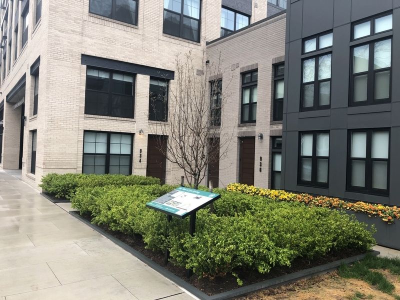
Editor’s want-list for this marker. A new wide shot of the marker in context. • Can you help?

