Great River in Suffolk County, New York — The American Northeast (Mid-Atlantic)
The Connetquot River
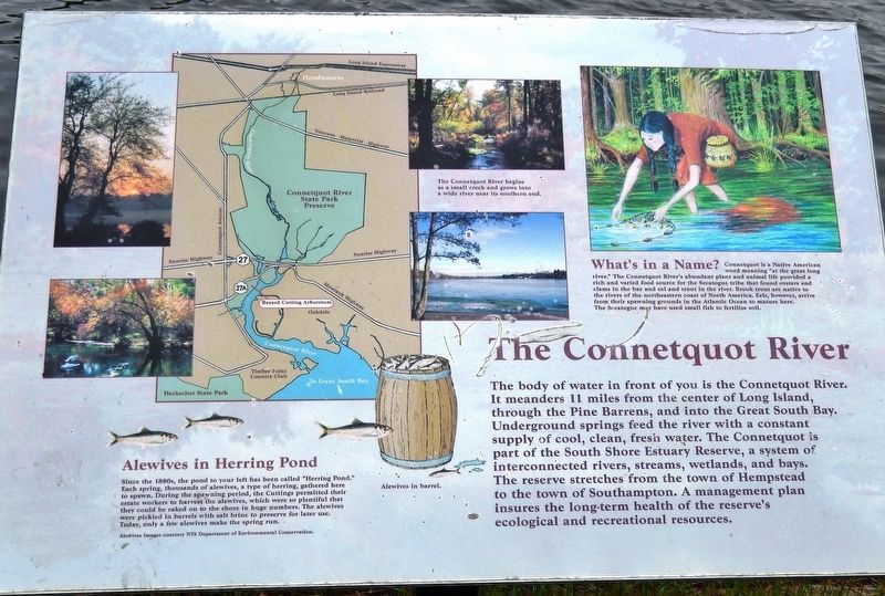
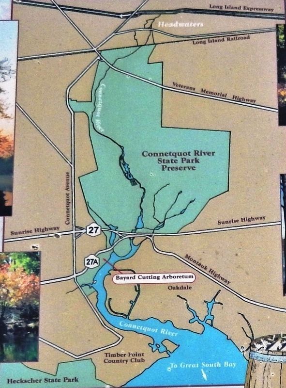
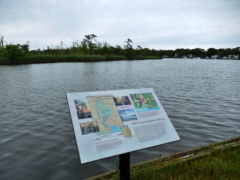
The body of water in front of you is the Connetquot River. It meanders 11 miles from the center of Long Island, through the Pine Barrens, and into the Great South Bay. Underground springs feed the river with a constant supply of cool, clean, fresh water. The Connetquot is part of the South Shore Estuary Reserve, a system of interconnected rivers, streams, wetlands, and bays. The reserve stretches from the town of Hempstead to the town of Southampton. A management plan insures the long-term health of the reserve's ecological and recreational resources.
What's in a Name?
Connetquot is a Native American word meaning "at the great long river." The Connetquot River's abundant plant and animal life provided a rich and varied food source for the Secatogue tribe that found oysters and clams in the bay and eel and trout in the river. Brook trout are native to the rivers of the northeastern coast of North America. Eels, however, arrive from their spawning grounds in the Atlantic Ocean to mature here. The Secatogue may have used small fish to fertilize soil.
Alewives in Herring Pond
Since the 1880s, the pond to your left has been called “Herring Pond.” Each spring, thousands of alewives, a type of herring, gathered here to spawn. During the spawning period, the Cuttings permitted their estate workers to harvest the alewives, which were so plentiful that they could be raked on to the shore in huge numbers. The alewives were pickled in barrels with salt brine to preserve for later use. Today, only a few alewives make the spring run.
Topics. This historical marker is listed in these topic lists: Animals • Native Americans • Waterways & Vessels.
Location. 40° 44.574′ N, 73° 9.356′ W. Marker is in Great River, New York, in Suffolk County. Marker can be reached from Ruland Road, 0.2 miles south of Montauk Highway (New York State Route 27A). Marker is located along the walking trail in Bayard Cutting Arboretum State Park, about 6/10 mile north of the parking lot, overlooking the Connetquot River. Touch for map. Marker is at or near this postal address: 440 Montauk Highway, Great River NY 11739, United States of America. Touch for directions.
Other nearby markers. At least 8 other markers are within walking distance of this marker. Locust Bridge (within shouting distance of this marker); Neighbor Across the Way (about 400 feet away, measured in a direct line); Spike Tooth Harrow (approx. ¼ mile away); Oliver Farm Plow (approx. ¼ mile away); Hay Rake (approx. ¼ mile away); Manure Spreader (approx. ¼ mile away); Sickle Bar Mower (approx. ¼ mile away); The Country Home (approx. 0.6 miles away). Touch for a list and map of all markers in Great River.
Also see . . . Connetquot River (Wikipedia). The entire Connetquot River watershed habitat represents the largest undeveloped contiguous area within Suffolk County that covers an entire river watershed. The river is generated entirely from groundwater springs, and like all other rivers on Long Island, does not arise from a lake. (Submitted on March 26, 2020, by Cosmos Mariner of Cape Canaveral, Florida.)
Credits. This page was last revised on March 26, 2020. It was originally submitted on March 26, 2020, by Cosmos Mariner of Cape Canaveral, Florida. This page has been viewed 507 times since then and 42 times this year. Photos: 1, 2, 3. submitted on March 26, 2020, by Cosmos Mariner of Cape Canaveral, Florida.


