San Diego in San Diego County, California — The American West (Pacific Coastal)
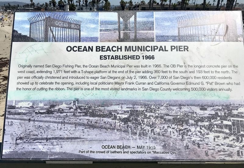
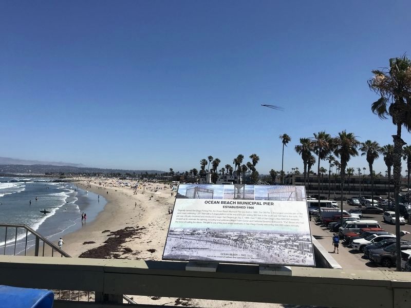
Ocean Beach Municipal Pier
Established 1966
Topics. This historical marker is listed in these topic lists: Parks & Recreational Areas • Waterways & Vessels. A significant historical date for this entry is July 2, 1966.
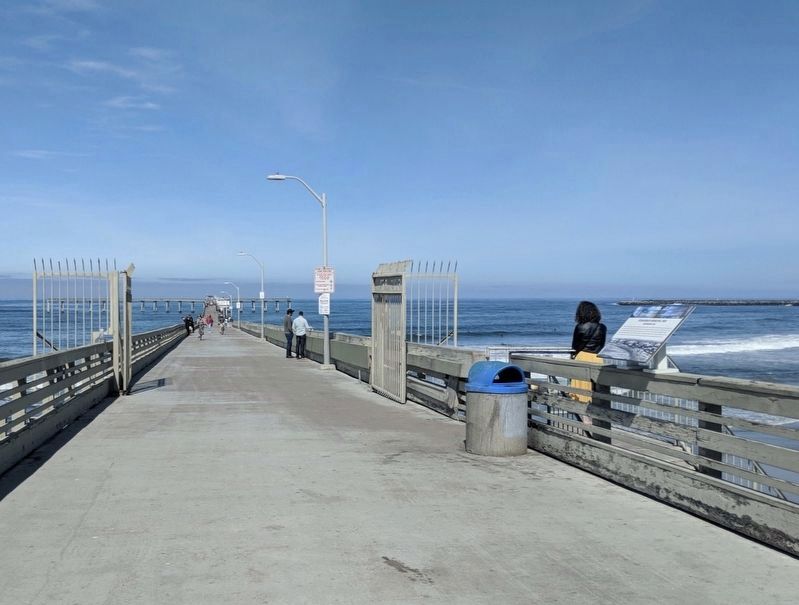
Location. 32° 44.82′ N, 117° 15.218′ W. Marker is in San Diego, California, in San Diego County. Marker can be reached from Niagara Avenue west of Ocean Front Way. Marker is on the Ocean Beach Municipal Pier, near the entrance. Touch for map. Marker is at or near this postal address: 5091 Niagara Ave, San Diego CA 92107, United States of America. Touch for directions.
Other nearby markers. At least 8 other markers are within 2 miles of this marker, measured as the crow flies. Ocean Beach Veterans Memorial (about 500 feet away, measured in a direct line); Market (about 600 feet away); The Lifeguard (about 800 feet away); Strand Theater (approx. 0.2 miles away); Ocean Beach Elementary School (approx. 0.4 miles away); Mission Beach Roller Coaster (approx. 1.7 miles away); Ace Roller Coaster Landmark (approx. 1.7 miles away); Charles W. Hardy (approx. 1.7 miles away). Touch for a list and map of all markers in San Diego.
Also see . . . Ocean Beach Pier and Tidepools. From the Ocean Beach Mainstreet Association's website, this talks more about the Pier, which continues to be an attraction. (Submitted on March 26, 2020, by Jason Voigt of Glen Carbon, Illinois.)
Credits. This page was last revised on August 30, 2022. It was originally submitted on March 26, 2020, by Jason Voigt of Glen Carbon, Illinois. This page has been viewed 207 times since then and 19 times this year. Photos: 1, 2. submitted on August 12, 2022, by Adam Margolis of Mission Viejo, California. 3. submitted on April 29, 2020, by Craig Baker of Sylmar, California. • J. Makali Bruton was the editor who published this page.


