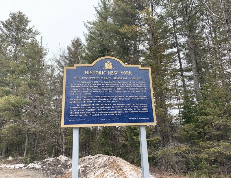
Near Newcomb in Essex County, New York — The American Northeast (Mid-Atlantic)
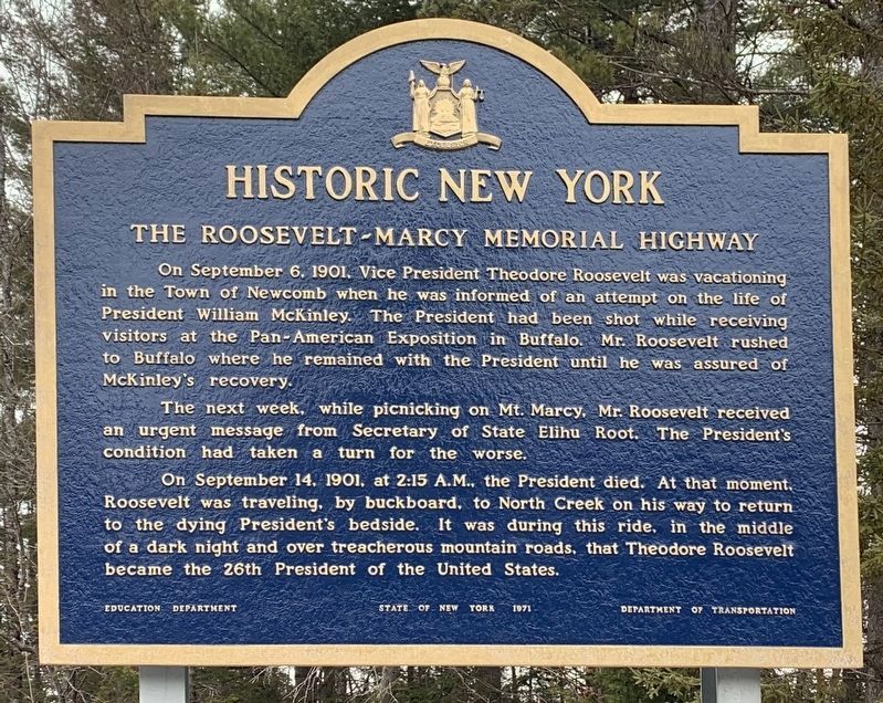
The Roosevelt-Marcy Memorial Highway
Historic New York
On September 6. 1901. Vice President Theodore Roosevelt was vacationing in the Town of Newcomb when he was informed of an attempt on the life of President William McKinley. The President had been shot while receiving visitors at the Pan-American Exposition in Buffalo. Mr. Roosevelt rushed to Buffalo where he remained with the President until he was assured of McKinley's recovery.
The next week, while picnicking on Mt. Marcy, Mr. Roosevelt received an urgent message from Secretary of State Elihu Root. The President's condition had taken a turn for the worse.
On September 14, 1901, at 2:15 A.M., the President died. At that moment, Roosevelt was traveling, by buckboard, to North Creek on his way to return to the dying President's bedside. It was during this ride, in the middle of a dark night and over treacherous mountain roads, that Theodore Roosevelt became the 26th President of the United States.
Erected 1971 by Education Department, New York State, Department of Transportation.
Topics and series. This historical marker is listed in these topic lists: Government & Politics • Notable Events • Parks & Recreational Areas . In addition, it is included in the Former U.S. Presidents: #25 William McKinley, and the Former U.S. Presidents: #26 Theodore Roosevelt series lists. A significant historical date for this entry is September 6, 1901.
Location. 43° 56.901′ N, 74° 4.094′ W. Marker is near Newcomb, New York, in Essex County. Marker is at the intersection of Roosevelt-Marcy Highway (New York State Route 28N) and Blue Ridge Road (County Route 84), on the left when traveling east on Roosevelt-Marcy Highway. Touch for map. Marker is in this post office area: Newcomb NY 12852, United States of America. Touch for directions.
Other nearby markers. At least 8 other markers are within 9 miles of this marker, measured as the crow flies. Theodore Roosevelt (approx. 1.2 miles away); Newcomb Vietnam Memorial (approx. 1.9 miles away); Camp Santanoni (approx. 1.9 miles away); a different marker also named Theodore Roosevelt (approx. 1.9 miles away); Newcomb Campus (approx. 1.9 miles away); Rist Mountain (approx. 1.9 miles away); “New” McIntyre Furnace (approx. 9 miles away); Making Bricks (approx. 9 miles away). Touch for a list and map of all markers in Newcomb.
Also see . . . Assasination of William McKinley. (Submitted on March 28, 2020, by Steve Stoessel of Niskayuna, New York.)
Credits. This page was last revised on August 1, 2020. It was originally submitted on March 28, 2020, by Steve Stoessel of Niskayuna, New York. This page has been viewed 297 times since then and 30 times this year. Photos: 1, 2. submitted on March 28, 2020, by Steve Stoessel of Niskayuna, New York. • Michael Herrick was the editor who published this page.

