Margaretville in Delaware County, New York — The American Northeast (Mid-Atlantic)
The Buy-Out Program
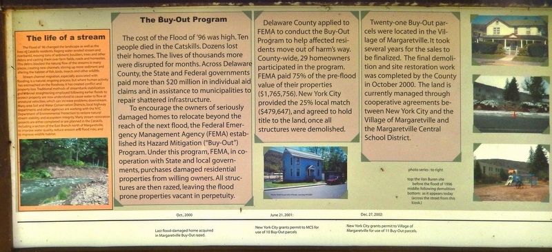
To encourage the owners of seriously damaged homes to relocate beyond the reach of the next flood, the Federal Emergency Management Agency (FEMA) established its Hazard Mitigation ("Buy-Out") Program. Under this program, FEMA, in cooperation with State and local governments, purchases damaged residential properties from willing owners. All structures are then razed, leaving the flood prone properties vacant in perpetuity.
Delaware County applied to FEMA to conduct the Buy-Out Program to help affected residents move out of harm's way. County-wide, 29 homeowners participated in the program. FEMA paid 75% of the pre-flood value of their properties ($1,765,756). New York City provided the 25% local match ($479,647), and agreed to hold title to the land, once all structures were demolished.
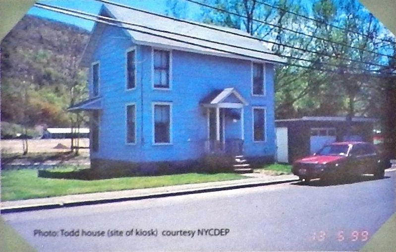
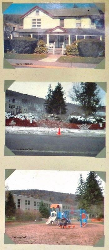
Twenty-one Buy-Out parcels were located in the Village of Margaretville. It took several years for the sales to be finalized. The final demolition and site restoration work was completed by the County in October 2000. The land is currently managed through cooperative agreements between New York City and the Village of Margaretville and the Margaretville Central School District.
The life of a stream
The Flood of '96 changed the landscape as well as the lives of Catskills residents. Raging water eroded stream and riverbanks, moving tons of sediment, boulders, trees and other debris and casting them over farm fields, roads and homesites. This debris blocked the natural flow of the streams in many places, creating new channels, stirring up more sediment and altering the habitat of fish, birds, insects and other wildlife.
Stream channel migration, especially associated with flooding, is a natural, ongoing process, but where human activity has encroached on the floodway, it has created conflict and property loss. Traditional methods of streambank stabilization and channel straightening employed following earlier floods to protect property are now understood to cause water to flow at unnatural velocities, which can increase problems downstream. Many area Soil and Water Conservation Districts, local highway departments and other agencies are working with the NYC Department of Environmental Protection to restore natural stream stability and ecosystem integrity. Many stream restoration projects are either completed or are planned in the Catskills, including a section of the East Branch north of Margaretville, to improve water quality, reduce erosion and flood risks, and to improve wildlife habitat.
Timeline
• Oct. 2000: Last flood-damaged home acquired in Margaretville Buy-Out razed
• June 21, 2001: New York City grants permit to MCS for use of 10 Buy-Out parcels
• Dec 27, 2002: New York City grants permit to Village of Margaretville for use of 11 Buy-Out parcels
Topics. This historical marker is listed in these topic lists: Disasters • Environment • Waterways & Vessels. A significant historical year for this entry is 1996.
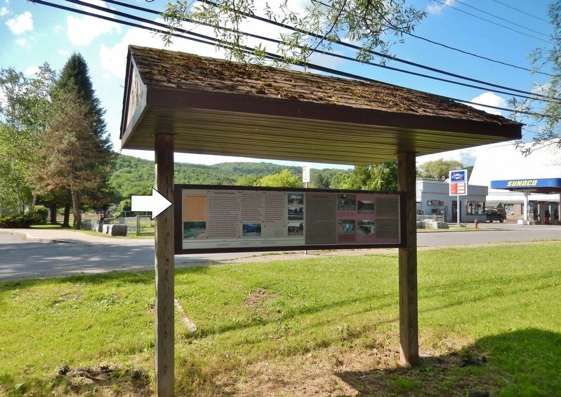
Location. 42° 8.733′ N, 74° 39.136′ W. Marker is in Margaretville, New York, in Delaware County. Marker is on Main Street (New York State Route 30) just east of Fair Street, on the right when traveling east. Marker is mounted on the back-side of an interpretive kiosk that faces Main Street. Touch for map. Marker is in this post office area: Margaretville NY 12455, United States of America. Touch for directions.
Other nearby markers. At least 8 other markers are within 2 miles of this marker, measured as the crow flies. A Village Transformed (here, next to this marker); The Stream of Time (a few steps from this marker); Welcome to Historic Margaretville! (approx. ¼ mile away); Lodges Organized in Middletown (approx. ¼ mile away); Margaretville (approx.
0.3 miles away); Margaretville War Memorial (approx. 0.4 miles away); Middletown Settlement (approx. ¾ mile away); Stone School House (approx. 2 miles away). Touch for a list and map of all markers in Margaretville.
Related markers. Click here for a list of markers that are related to this marker. The Margaretville Flood of 1996
Credits. This page was last revised on March 30, 2020. It was originally submitted on March 30, 2020, by Cosmos Mariner of Cape Canaveral, Florida. This page has been viewed 144 times since then and 17 times this year. Photos: 1, 2, 3, 4. submitted on March 30, 2020, by Cosmos Mariner of Cape Canaveral, Florida.


