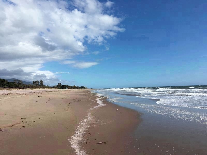
Carpinteria in Santa Barbara County, California — The American West (Pacific Coastal)
“World’s Safest Beach”
Carpinteria
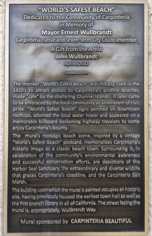
The moniker "World's Safest Beach” was initially used in the 1920's to attract visitors to Carpinteria's pristine beaches, made "safe” by the sheltering Channel Islands. It later came to be embraced by the local community as an emblem of civic pride. "World's Safest Beach” signs perched on downtown rooftops, adorned the local water tower and appeared on a memorable billboard beckoning highway travelers to come enjoy Carpinteria's bounty.
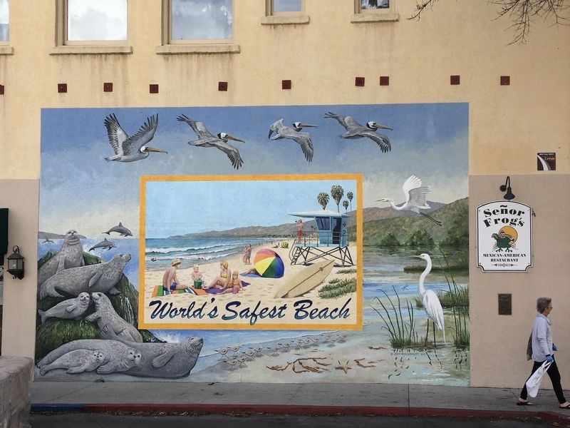
The mural's nostalgic beach scene, inspired by a vintage "World's Safest Beach” postcard, memorializes Carpinteria's historic image as a classic beach town. Surrounding it, in celebration of the community's environmental awareness and successful conservation efforts, are depictions of the Harbor Seal Sanctuary, the extraordinary and diverse wildlife that graces Carpinteria's coastline, and the Carpinteria Salt Marsh.
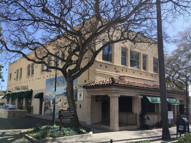
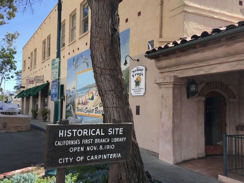
The building upon which the mural is painted occupies an historic site, having previously housed the earliest town hall as well as the first branch library in all of California. The street facing the mural is, appropriately, Wullbrandt Way.
Dedicated to the community of Carpinteria in memory of Mayor Ernest Wullbrandt, Carpinteria native and seven-term City Councilmember.
A gift from the artist, John Wullbrandt, April 6, 2012.
Mural sponsored by Carpinteria Beautiful.
Erected 2012.
Topics. This historical marker is listed in these topic lists: Education • Industry & Commerce • Notable Buildings • Parks & Recreational Areas.
Location. 34° 23.889′ N, 119° 31.147′ W. Marker is in Carpinteria, California, in Santa Barbara County. Marker is at the intersection of Wullbrandt Way and Linden Avenue, on the right when traveling east on Wullbrandt Way. Touch for map. Marker is at or near this postal address: 5015 Wullbrandt Way, Carpinteria CA 93013, United States of America. Touch for directions.
Other nearby markers. At least 8 other markers are within walking distance of this marker. La Viña Grande (within shouting distance of this marker); La Carpinteria (about 300 feet away, measured in a direct line); a different marker also named La Carpinteria (about 500 feet away); Wardholme Torrey Pine (about 700 feet away); Carpinteria’s Lima Bean History (approx. 0.3 miles away); Portolá Sycamore (approx. 0.4 miles away); a different marker also named La Carpinteria (approx. 0.6 miles away); The Heath Adobe (approx. 0.7 miles away). Touch for a list and map of all markers in Carpinteria.
Credits. This page was last revised on April 4, 2020. It was originally submitted on April 1, 2020, by Craig Baker of Sylmar, California. This page has been viewed 932 times since then and 68 times this year. Photos: 1, 2, 3, 4, 5, 6. submitted on April 1, 2020, by Craig Baker of Sylmar, California. • Syd Whittle was the editor who published this page.
