Lehigh Township near Walnutport in Northampton County, Pennsylvania — The American Northeast (Mid-Atlantic)
St. Paul's Cemetery and Graveyard
Established 1756
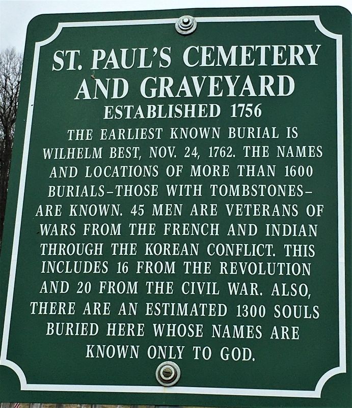
Photographed by Laura Klotz, April 4, 2020
1. St. Paul's Cemetery and Graveyard Marker
Topics. This memorial is listed in these topic lists: Cemeteries & Burial Sites • Colonial Era • Religion & Religious Structures.
Location. 40° 45.602′ N, 75° 33.131′ W. Memorial is near Walnutport, Pennsylvania, in Northampton County. It is in Lehigh Township. It is on Almond Road half a mile north of Route 248, on the left when traveling north. Touch for map. Memorial is at or near this postal address: 787 Almond Rd, Walnutport PA 18088, United States of America. Touch for directions.

Regionally, this memorial is in Southeast Pennsylvania and in Lehigh Valley. It is also in the American Northeast and in the Mid-Atlantic. Globally, it is in North America, the Western Hemisphere,
this page online
Other nearby markers. At least 8 other markers are within 3 miles of this marker, measured as the crow flies: William Kuntz (approx. 2.1 miles away); William Best (approx. 2.2 miles away); Diamond Fire Company (approx. 2½ miles away); Pennsylvania House Slate Exchange Hotel (approx. 2½ miles away); Walnutport (approx. 2½ miles away); Anchor Hotel (approx. 2.6 miles away); Floating From Mine to Market (approx. 2.6 miles away); Lehigh Canal (approx. 2.6 miles away). Touch for a list and map of all markers in Walnutport.
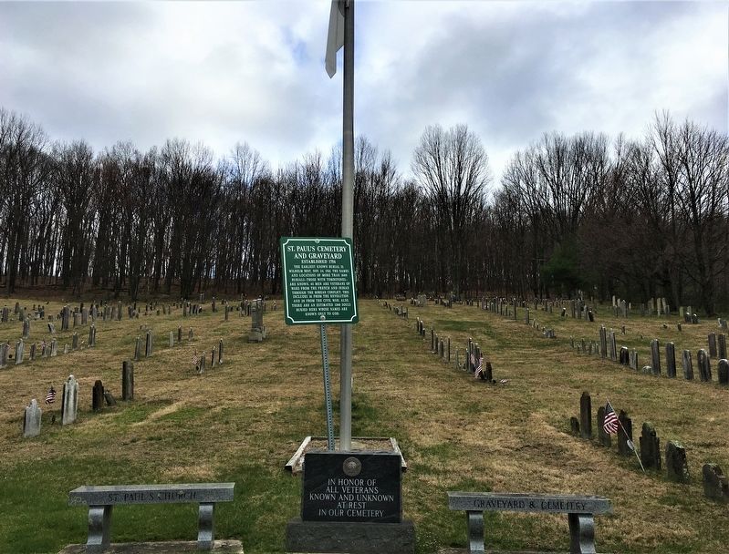
Photographed by Laura Klotz, April 4, 2020
2. St. Paul's Cemetery and Graveyard Marker
The marker as seen from the road, with surrounding war memorials
Credits. This page was last revised on February 7, 2023. It was originally submitted on April 4, 2020, by Laura Klotz of Northampton, Pennsylvania. This page has been viewed 583 times since then and 24 times this year. Photos: 1, 2. submitted on April 4, 2020, by Laura Klotz of Northampton, Pennsylvania. • Bill Pfingsten was the editor who published this page.
