Brightwood in Northwest Washington in Washington, District of Columbia — The American Northeast (Mid-Atlantic)
The Rock on Brightwood Avenue
Battleground to Community
— Brightwood Heritage Trail —
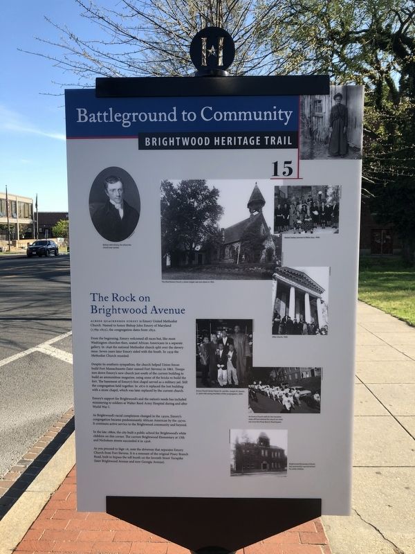
Across Quackenbos Street is Emory United Methodist Church. Named to honor Bishop John Emory of Maryland (1789-1835), the congregation dates from 1832.
From the beginning, Emory welcomed all races but, like most Washington churches then, seated African Americans in a separate gallery. In 1846 the national Methodist church split over the slavery issue. Seven years later Emory sided with the South. In 1939 the Methodist Church reunited.
Despite its southern sympathies, the church helped Union forces build Fort Massachusetts (later named Fort Stevens) in 1861. Troops tore down Emory's new church just south of the current building to build an ammunition magazine, using some of the bricks to build the fort. The basement of Emory's first chapel served as a military jail. Still the congregation held together. In 1870 it replaced the lost building with a stone chapel, which was later replaced by the current church.
Emory's support for Brightwood's and the nation's needs has included ministering to soldiers at Walter Reed Army Hospital during and after World War I.
As Brightwood's racial complexion changed in the 1950s, Emory's congregation became predominantly African American by the 1970s. It continues active service to the Brightwood community and beyond.
In the late 1880s, the city built a public school for Brightwood's white children on this corner. The current Brightwood Elementary at 13th and Nicholson streets succeeded it in 1926.
As you proceed to Sign 16, note the driveway that separates Emory Church from Fort Stevens. It is a remnant of the original Piney Branch Road, built to bypass the toll booth on the Seventh Street Turnpike (later Brightwood Avenue and now Georgia Avenue).
Erected 2008 by Cultural Tourism DC. (Marker Number 15.)
Topics and series. This historical marker is listed in these topic lists: African Americans • Churches & Religion • Education • Forts and Castles • Science & Medicine • War, US Civil • War, World I. In addition, it is included in the Brightwood Heritage Trail series list. A significant historical year for this entry is 1832.
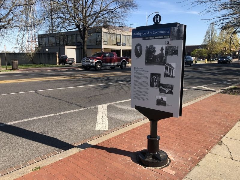
Location. 38° 57.821′ N, 77° 1.679′ W. Marker is in Northwest Washington in Washington, District of Columbia. It is in Brightwood. Marker is at the intersection of Georgia Avenue Northwest (U.S. 29) and Quackenbos Street Northwest, on the right when traveling south on Georgia Avenue Northwest. Touch for map. Marker is in this post office area: Washington DC 20011, United States of America. Touch for directions.
Other nearby markers. At least 8 other markers are within walking distance of this marker. “Get Down You Fool” (about 300 feet away, measured in a direct line); Fort Stevens
![The Rock on Brightwood Avenue Marker [Reverse]. Click for full size. The Rock on Brightwood Avenue Marker [Reverse] image. Click for full size.](Photos5/515/Photo515907.jpg?46202053900PM)
Photographed By Devry Becker Jones (CC0), April 6, 2020
2. The Rock on Brightwood Avenue Marker [Reverse]
More about this marker.
[Captions on the front:]
Bishop John Emory, for whom the church was named.
The third Emory Church, a stone chapel, was torn down in 1922.
Mabel Gatley (women's) Bible class, 1940.
After church, 1939.
Emory Church Senior Pastor Dr. and Mrs. Joseph W. Daniels, Jr., pose with young members of the congregation, 2005.
An Emory Church walk for the homeless steps off from behind the church on what was once the Piney Branch Road bypass.
Brightwood Elementary School, the community's second school for white children.
[Caption on reverse:]
Emory
Related marker. Click here for another marker that is related to this marker. This marker replaces the linked marker.
Credits. This page was last revised on January 30, 2023. It was originally submitted on April 6, 2020, by Devry Becker Jones of Washington, District of Columbia. This page has been viewed 188 times since then and 24 times this year. Photos: 1, 2, 3. submitted on April 6, 2020, by Devry Becker Jones of Washington, District of Columbia.

