Santa Barbara in Santa Barbara County, California — The American West (Pacific Coastal)
Santa Barbara Mission Early Water Supply
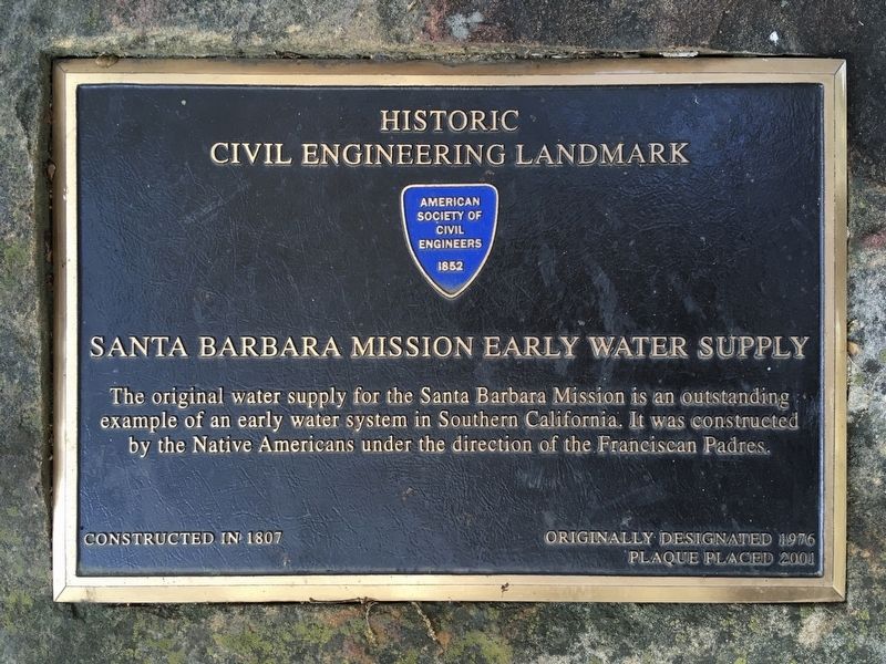
Historic Civil Engineering Landmark
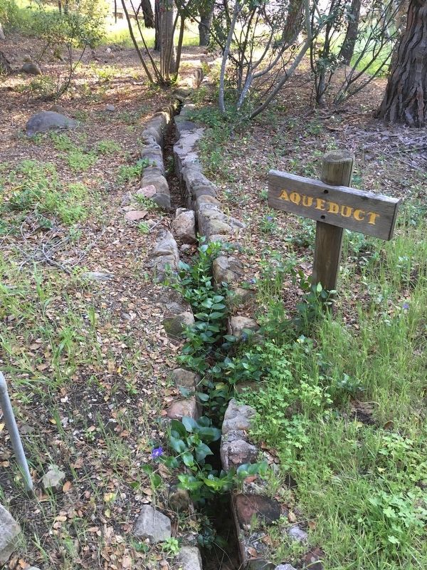
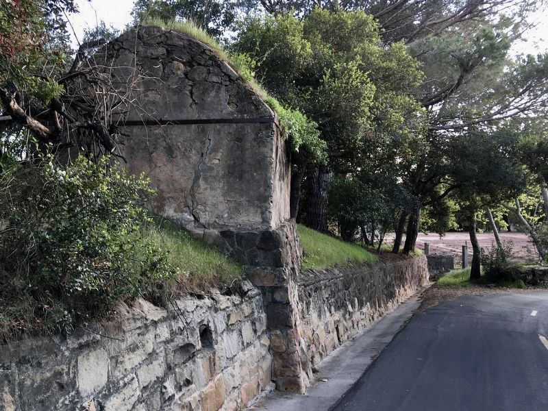
The original water supply for the Santa Barbara Mission is an outstanding example of an early water system in Southern California. It was constructed by the Native Americans under the direction of the Franciscan Padres.
Constructed in 1807.
Originally designated 1976.
Plaque placed 2001.
Erected 2001 by American Society of Civil Engineers.
Topics and series. This historical marker is listed in these topic lists: Churches & Religion • Hispanic Americans • Native Americans • Natural Resources. In addition, it is included in the ASCE Civil Engineering Landmarks series list. A significant historical year for this entry is 1807.
Location. 34° 26.391′ N, 119° 42.733′ W. Marker is in Santa Barbara, California, in Santa Barbara County. Marker can be reached from Los Olivos Street north of Alameda Padre Serra, on the right when traveling north. Touch for map. Marker is at or near this postal address: 502 E Los Olivos St, Santa Barbara CA 93105, United States of America. Touch for directions.
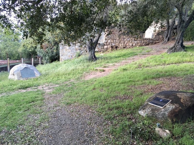
Other nearby markers. At least 8 other markers are within walking distance of this marker. Mission Historical Park (here, next to this marker); Santa Barbara Mission Aqueduct (about 500 feet away, measured in a direct line); Juana Maria (about 500 feet away); Santa Barbara Mission (about 600 feet away); Don Jose Francisco De Ortega (about 700 feet away); Moorish Fountain and Indian Community Laundry (about 800 feet away); Santa Barbara Mission Lavanderia (approx. 0.2 miles away); Assembly Required (approx. 0.2 miles away). Touch for a list and map of all markers in Santa Barbara.
Related marker. Click here for another marker that is related to this marker. - Mission Waterworks System, an interpretive sign at Mission Dam, describes the entire system.
Credits. This page was last revised on November 13, 2023. It was originally submitted on April 11, 2020, by Craig Baker of Sylmar, California. This page has been viewed 300 times since then and 57 times this year. Photos: 1, 2, 3, 4, 5, 6. submitted on April 11, 2020, by Craig Baker of Sylmar, California. • Syd Whittle was the editor who published this page.
