Modjeska Canyon in Orange County, California — The American West (Pacific Coastal)
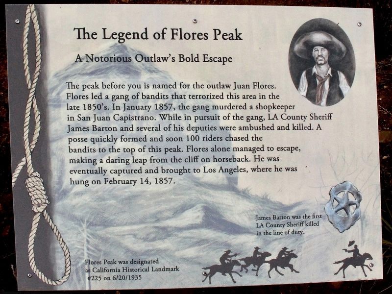
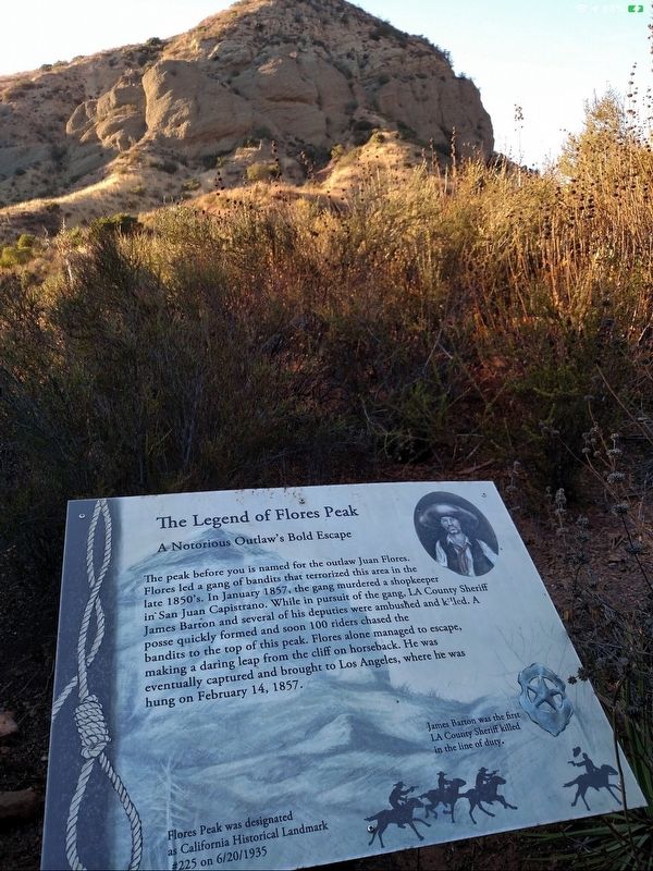
The Legend of Flores Peak
A Notorious Outlaw's Bold Escape
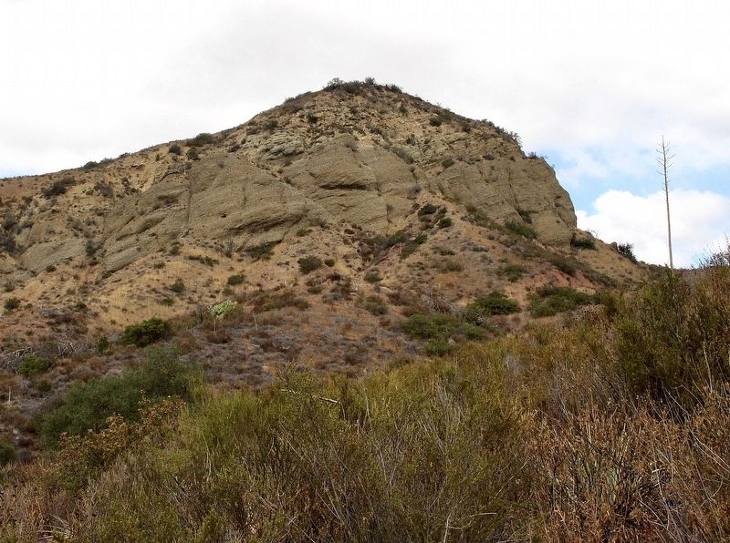
The peak before you is named for the outlaw Juan Flores. Flores led a gang of bandits that terrorized this area in the late 1850's. In January 1857, the gang murdered a shopkeeper in San Juan Capistrano. While in pursuit of the gang, LA County Sheriff James Barton and several of his deputies were ambushed and killed. A posse quickly formed and soon 100 riders chased the bandits to the top of this peak. Flores alone managed to escape, making a daring leap from the cliff on horseback. He was eventually captured and brought to Los Angeles, where he was hung on February 14, 1857.
James Barton was the first L.A.County Sheriff killed in the line of duty.
Flores Peak was designated as California Historical Landmark #225 on 6/20/1935. (Marker Number 225.)
Topics and series. This historical marker is listed in these topic lists: Hispanic Americans • Law Enforcement. In addition, it is included in the California Historical Landmarks series list. A significant historical month for this entry is January 1857.
Location. 33° 42.663′ N, 117° 37.139′ W. Marker is in Modjeska Canyon, California, in Orange County. Marker can be reached from Modjeska Canyon Road, 2 miles east of Santiago Canyon Road, on the left when traveling east. Located 200 feet north of the Tucker Wildlife Sanctuary parking lot. Touch for map. Marker is at or near this postal address: 29322 Modjeska Canyon Road, Silverado CA 92676, United States of America. Touch for directions.
Other nearby markers. At least 8 other markers are within 5 miles of this marker, measured as the crow flies. Modjeska's Home (approx. 0.4 miles away); Land of the Acjachemen (approx. 2.7 miles away); Death of the California Grizzly (approx. 2.7 miles away); Site of Carbondale (approx. 3.1 miles away); Silverado (approx. 3.3 miles away); Andrew and Anna Hoffman (approx. 3.4 miles away); O'Neill Park (approx. 4.2 miles away); Lisa Anne Frost (approx. 4.6 miles away).
Credits. This page was last revised on April 18, 2020. It was originally submitted on April 17, 2020, by Craig Baker of Sylmar, California. This page has been viewed 732 times since then and 117 times this year. Photos: 1, 2, 3. submitted on April 17, 2020, by Craig Baker of Sylmar, California. • Syd Whittle was the editor who published this page.


