Phoenix in Jackson County, Oregon — The American West (Northwest)
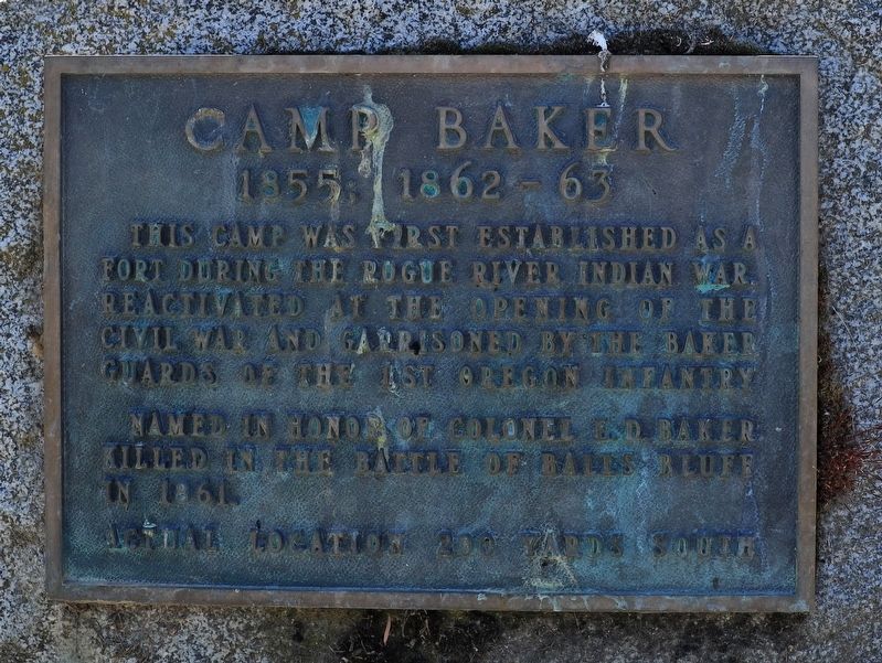
Camp Baker
1855; 1862–63
Named in honor of Colonel E.D. Baker killed in the Battle of Balls Bluff in 1861
Actual location 200 yards south
Topics. This historical marker is listed in these topic lists: Forts and Castles • War, US Civil • Wars, US Indian. A significant historical year for this entry is 1861.
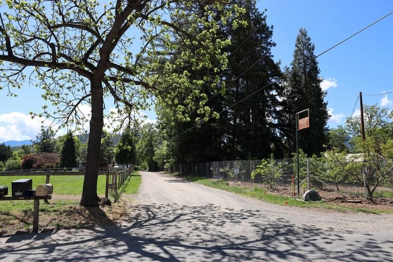
Location. 42° 15.941′ N, 122° 50.155′ W. Marker is in Phoenix, Oregon, in Jackson County. Marker is at the intersection of Camp Baker Road and Charlotte Lane, on the left when traveling west on Camp Baker Road. Touch for map. Marker is in this post office area: Phoenix OR 97535, United States of America. Touch for directions.
Other nearby markers. At least 8 other markers are within 4 miles of this marker, measured as the crow flies. Applegate Trail Pioneers (approx. 1.2 miles away); Harry & David Comice Pear Trees (approx. 2.7 miles away); World War II Veterans Memorial (approx. 2.8 miles away); Fort Wagner (approx. 3.1 miles away); Newell Barber Field (approx. 3.1 miles away); Miles Field (approx. 3.2 miles away); Applegate Trail - Down Bear Creek (approx. 3.4 miles away); Applegate Trail - Bear Creek (approx. 3.6 miles away).
More about this marker . Very little information is written regarding the former Camp Baker. A few online resources mention the settlers of Phoenix (formerly known as Gasburg) building a blockhouse in the early 1850s housing up to 15 men to protect against the occasional Indian raids during 1855 and 1856. After the Indian attacks ended, the fort was deactivated until the outbreak of the Civil War when the fort was reestablished as Camp Baker to serve two functions — one, to oversee the activity of Confederate sympathizers mainly from nearby Jacksonville; and two, to act as a recruiting post for Union army volunteers from southwestern Oregon.
The camp was named for Col. Edward D. Baker, an Oregon senator who took office not long after Oregon's statehood in 1859. He was a close friend of Abraham Lincoln and volunteered as an officer for the Union army at the outbreak of the Civil War. He was killed in the Battle of Bulls Bluff on October 21, 1861. His body was taken by train and coach from New York to San Francisco, where he's interred in the National Cemetery.
There were up to six companies of men garrisoned at Camp Baker during the Civil War but as Fort Klamath was built and activated in 1863, Camp Baker's decline of activity began and by the end of the war, all activity had ceased and remains of the fort disappeared.
No evidence of Camp Baker exists today and
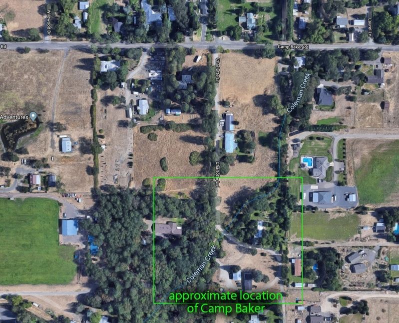
the former site is now on private property. Coleman Creek apparently flowed through the camp when active, located 200 yards south of the historical marker.
Credits. This page was last revised on April 28, 2020. It was originally submitted on April 27, 2020, by Douglass Halvorsen of Klamath Falls, Oregon. This page has been viewed 466 times since then and 75 times this year. Photos: 1, 2, 3. submitted on April 27, 2020, by Douglass Halvorsen of Klamath Falls, Oregon. • Syd Whittle was the editor who published this page.


