Near Churchville in Harford County, Maryland — The American Northeast (Mid-Atlantic)
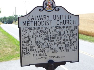
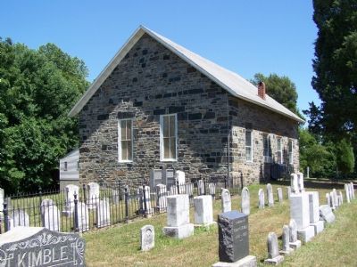
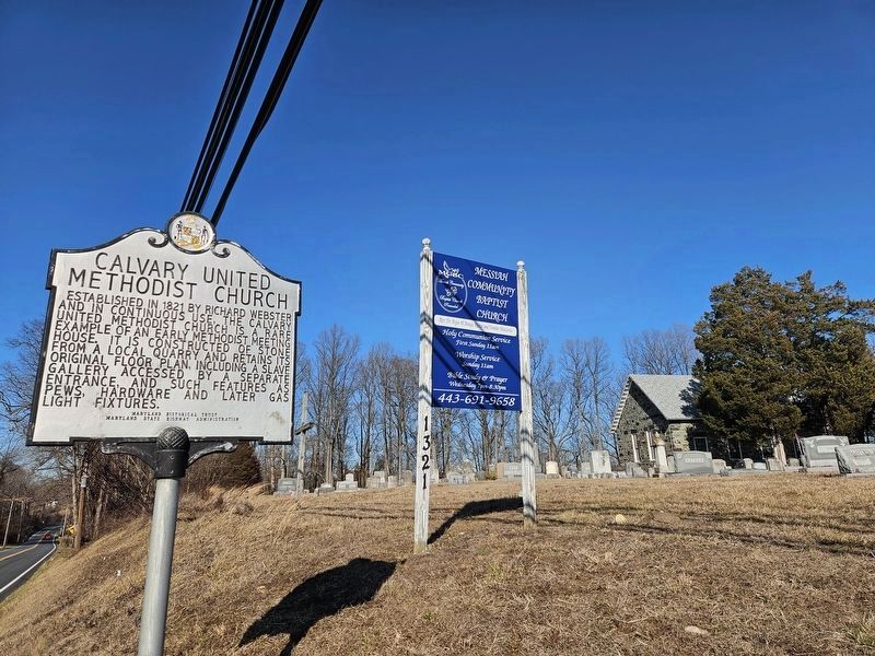
Calvary United Methodist Church
Erected by Maryland Historical Trust & Maryland State Highway Administration.
Topics and series. This historical marker is listed in these topic lists: African Americans • Architecture • Churches & Religion. In addition, it is included in the Maryland Historical Trust series list. A significant historical year for this entry is 1821.
Location. 39° 31.638′ N, 76° 15.784′ W. Marker is near Churchville, Maryland, in Harford County. Marker is on Calvary Road (Maryland Route 136) 0.3 miles north of James Run Road, on the right when traveling north. Touch for map. Marker is at or near this postal address: 1321 Calvary Road, Churchville MD 21028, United States of America. Touch for directions.
Other nearby markers. At least 8 other markers are within 3 miles of this marker, measured as the crow flies. Churchville Presbyterian Church (approx. 2.3 miles away); Churchville (approx. 2.3 miles away); Medical Hall (approx. 2.3 miles away); Springhouse (approx. 2˝ miles away); Church of the Holy Trinity (approx. 2˝ miles away); a different marker also named Springhouse (approx. 2˝ miles away); Tudor Hall (approx. 2.6 miles away); State of Maryland (approx. 2.6 miles away). Touch for a list and map of all markers in Churchville.
Credits. This page was last revised on March 4, 2024. It was originally submitted on June 23, 2007, by Bill Pfingsten of Bel Air, Maryland. This page has been viewed 2,748 times since then and 51 times this year. Last updated on July 1, 2007, by Bill Pfingsten of Bel Air, Maryland. Photos: 1. submitted on July 1, 2007, by Bill Pfingsten of Bel Air, Maryland. 2. submitted on June 23, 2007, by Bill Pfingsten of Bel Air, Maryland. 3. submitted on March 2, 2024, by Mark P Brock-Cancellieri of Baltimore, Maryland. • J. J. Prats was the editor who published this page.


