South Memphis in Shelby County, Tennessee — The American South (East South Central)
No Man's Land Memorial
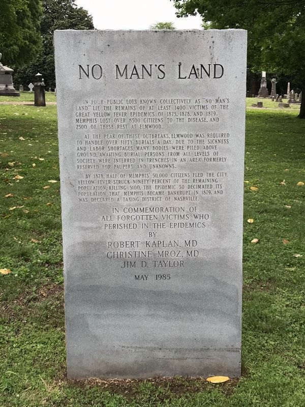
In four public lots known collectively as "No Man's Land" lie the remains of at least 1400 victims of the Great Yellow Fever Epidemics of 1873, 1878, and 1879. Memphis lost over 8500 citizens to the disease and 2500 of these rest at Elmwood.
At the peak of these outbreaks, Elmwood was required to handle over fifty burials a day. Due to the sickness and labor shortages, many bodies were piled above ground, awaiting burial. Persons from all levels of society were interred in trenches in an area formerly reserved for paupers and unknowns.
By 1878, half of Memphis' 50,000 citizens fled the city. Yellow fever struck ninety percent of the remaining population, killing 5100. The epidemic so decimated its population that Memphis became bankrupt in 1879, and was declared a Taxing District of Nashville.
all forgotten victims who
perished in the epidemics
by
Robert Kaplan, MD
Christine Mroz, MD
Jim D. Taylor
May 1985
Erected 1985 by Robert Kaplan, MD; Christine Mroz, MD; Jim D. Taylor.
Topics. This historical marker and memorial is listed in these topic lists: Cemeteries & Burial Sites • Disasters • Science & Medicine.
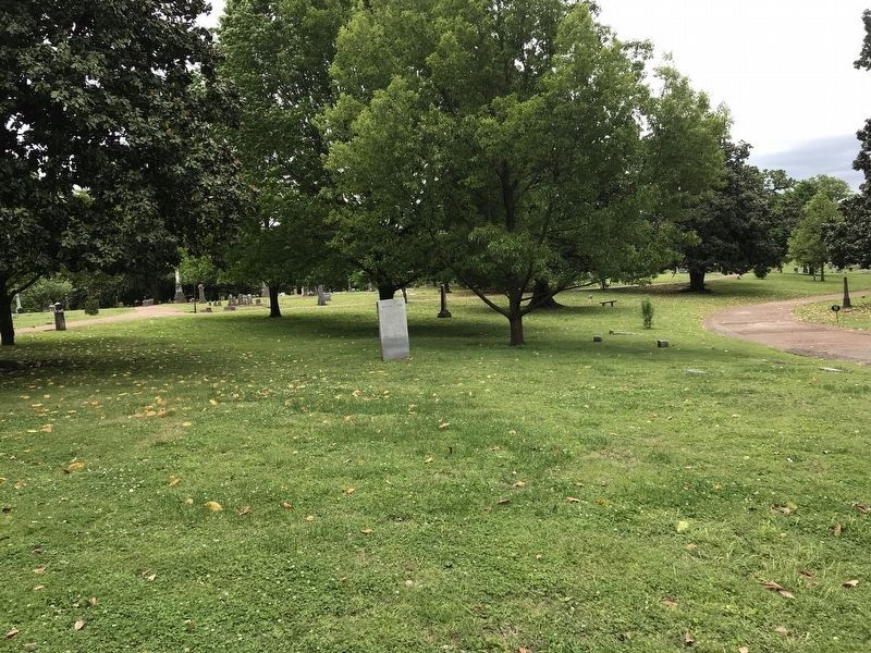
Location. 35° 7.43′ N, 90° 1.687′ W. Marker is in Memphis, Tennessee, in Shelby County. It is in South Memphis. Marker is on South Dudley Street, 0.1 miles south of Sledge Avenue, on the right when traveling north. Marker is located in Elmwood Cemetery. Touch for map. Marker is at or near this postal address: 977 Sledge Ave, Memphis TN 38126, United States of America. Touch for directions.
Other nearby markers. At least 8 other markers are within walking distance of this marker. Phillips Cottage (about 300 feet away, measured in a direct line); Elmwood Cemetery (about 500 feet away); Captain Kit Dalton (about 500 feet away); Confederate Soldiers Rest (about 500 feet away); Marion Scudder Griffin (approx. ¼ mile away); Robert R. Church (approx. ¼ mile away); LeMoyne-Owen College (approx. 0.4 miles away); Steele Hall (approx. half a mile away). Touch for a list and map of all markers in Memphis.
Also see . . .
1. Yellow Fever Epidemics. Tennessee Encyclopedia entry by Tennessee Historical Society. (Submitted on April 28, 2020, by Duane and Tracy Marsteller of Murfreesboro, Tennessee.)
2. Yellow Fever...The Plague of Memphis. Overview and images on Historic-Memphis website. (Submitted on April 28, 2020, by Duane and Tracy Marsteller of Murfreesboro, Tennessee.)
Credits. This page was last revised on February 7, 2023. It was originally submitted on April 28, 2020, by Duane and Tracy Marsteller of Murfreesboro, Tennessee. This page has been viewed 456 times since then and 74 times this year. Photos: 1, 2. submitted on April 28, 2020, by Duane and Tracy Marsteller of Murfreesboro, Tennessee. • Devry Becker Jones was the editor who published this page.

