Maeser in Provo in Utah County, Utah — The American Mountains (Southwest)
Escalante Trail

Photographed by Bill Kirchner, October 2, 2018
1. Escalante Trail Marker
Fray Francisco Silvestre Velez De Escalante and Fray Francisco Atanasio Dominguez, two Catholic Priests of the Franciscan Order accompanied by their attendants
Don Juan Pedro Cisneros - Lucrecio Muniz
Don Dernardo Miera Y Pacheco - Andres Muniz
Don Joaquin Lain - Juan De Agulia
Lorenzo Olivares - Simon Lucero
Encamped near here September 24, and 25, 1776, to open a wider field for mission work among the Indians. They were seeking an overland route from Santa Fe, New Mexico to Monterey. California.
These Priests were the first white men to enter what is now the State of Utah and the first to give us a written record of the geography of the country and the character of its people.
Erected 1931 by Utah Pioneer Trails and Landmark Association. (Marker Number 1.)
Topics and series. This historical marker is listed in these topic lists: Colonial Era • Exploration • Religion & Religious Structures • Roads & Vehicles. In addition, it is included in the Utah Pioneer Trails and Landmarks Association series list. A significant historical date for this entry is September 24, 1776.
Location. 40° 13.954′ N, 111° 39.493′ W.
this page online

Regionally, this marker is in the Wasatch Front. It is also in the American Mountain West and on the Colorado Plateau. Globally, it is in North America, the Rocky Mountains, the Western Hemisphere, the Western World, and the Anglosphere. Historically, it finds itself in what was once New Spain and also Mexico’s Alta California.
Other nearby markers. At least 8 other markers are within walking distance of this marker: Historic Utah County Courthouse (within shouting distance of this marker); Weeping American Elm (within shouting distance of this marker); Utah County Statehood Centennial (about 400 feet away, measured in a direct line); A Place of Gathering (about 500 feet away); The Knight Block (about 500 feet away); Reed Smoot House (about 800 feet

Photographed by Bill Kirchner, October 2, 2018
2. Escalante Trail Marker
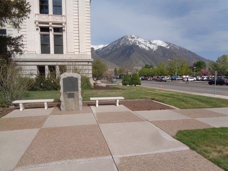
Photographed by Jason Voigt, May 9, 2023
3. Escalante Trail Marker
Credits. This page was last revised on February 15, 2026. It was originally submitted on April 29, 2020, by Bill Kirchner of Tucson, Arizona. This page has been viewed 3,457 times since then and 104 times this year. Photos: 1, 2. submitted on April 29, 2020, by Bill Kirchner of Tucson, Arizona. 3. submitted on May 19, 2023, by Jason Voigt of Glen Carbon, Illinois.
