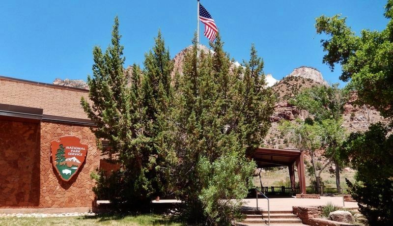
Near Springdale in Washington County, Utah — The American Mountains (Southwest)
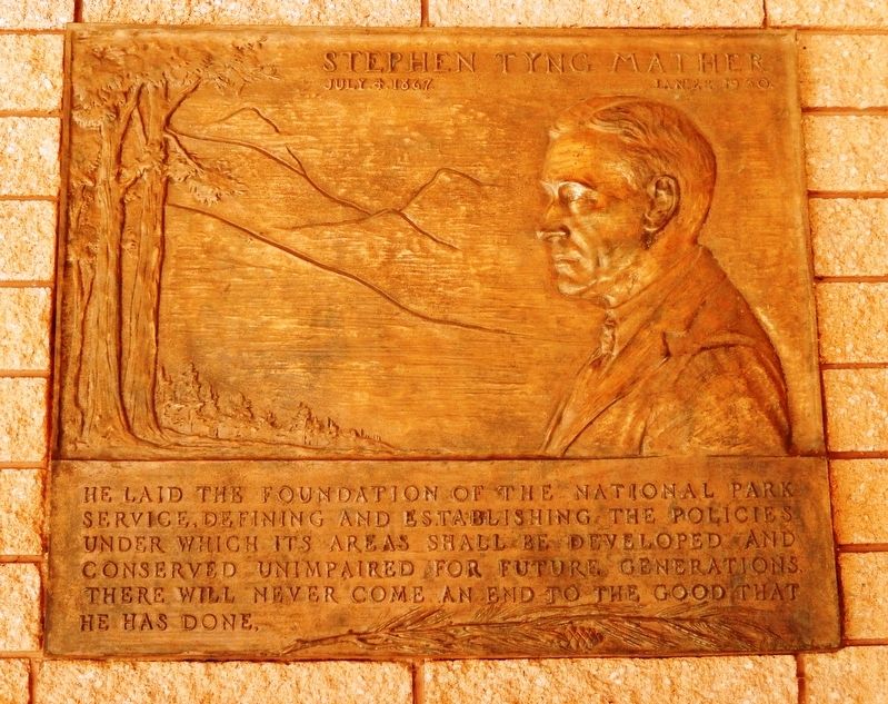
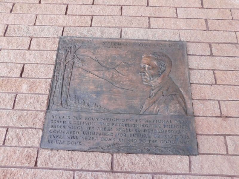
Stephen Tyng Mather
July 4, 1867 — Jan. 22, 1930
Erected by National Park Service.
Topics and series. This historical marker is listed in these topic lists: Charity & Public Work • Environment • Parks & Recreational Areas. In addition, it is included in the Stephen Tyng Mather series list.
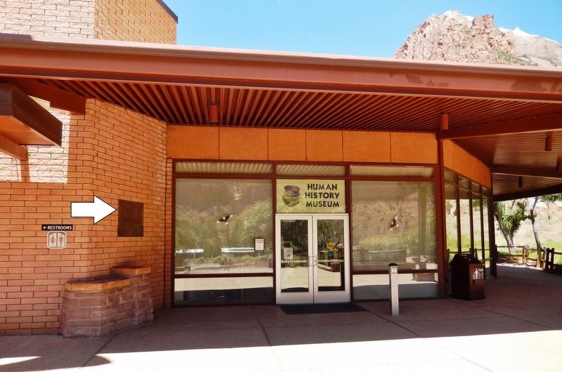
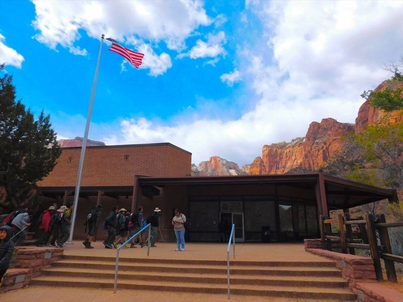
Location. 37° 12.566′ N, 112° 58.816′ W. Marker is near Springdale, Utah, in Washington County. Marker can be reached from Zion-Mount Carmel Highway (Zion National Park Rd.) (Utah Route 9) ¾ mile north of Zion National Park Entrance, on the left when traveling north. Marker is located outside the Zion Human History Museum - mounted at eye-level just to the left of the museum entrance. Touch for map. Marker is in this post office area: Springdale UT 84767, United States of America. Touch for directions.
Other nearby markers. At least 8 other markers are within 5 miles of this marker, measured as the crow flies. Zion Mt. Carmel Tunnel and Highway, Utah (approx. 0.7 miles away); Original Inhabitants / Living Traditions (approx. ¾ mile away); Promised Land (approx. ¾ mile away); Westward Expansion (approx. ¾ mile away); Birth of a Park (approx. ¾ mile away); Discovery of Zion Canyon (approx. 1.7 miles away); Rockville Bridge (approx. 4.7 miles away); Cables from the Rim (approx. 4.8 miles away). Touch for a list and map of all markers in Springdale.
Credits. This page was last revised on January 15, 2022. It was originally submitted on May 3, 2020, by Cosmos Mariner of Cape Canaveral, Florida. This page has been viewed 124 times since then and 5 times this year. Photos: 1. submitted on May 3, 2020, by Cosmos Mariner of Cape Canaveral, Florida. 2. submitted on January 12, 2022, by Adam Margolis of Mission Viejo, California. 3. submitted on May 3, 2020, by Cosmos Mariner of Cape Canaveral, Florida. 4. submitted on January 12, 2022, by Adam Margolis of Mission Viejo, California. 5. submitted on May 3, 2020, by Cosmos Mariner of Cape Canaveral, Florida.
