Near High Falls in Ulster County, New York — The American Northeast (Mid-Atlantic)
John Burroughs
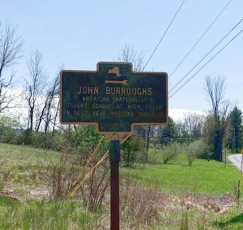
Photographed by Steve Stoessel, May 3, 2020
1. John Burroughs Marker
Taught school at High Falls
in 1857 near present building.
Erected 1939 by State Education Department.
Topics. This historical marker is listed in these topic lists: Education • Environment • Science & Medicine. A significant historical year for this entry is 1857.
Location. 41° 49.405′ N, 74° 7.657′ W. Marker is near High Falls, New York, in Ulster County. It is at the intersection of Mohonk Road and School Hill Road, on the right when traveling north on Mohonk Road. Touch for map. Marker is in this post office area: High Falls NY 12440, United States of America. Touch for directions.

Regionally, this marker is in Upstate New York and in the Hudson Valley. It is also in the American Northeast, in the Mid-Atlantic, and on the Eastern Seaboard. Globally, it is in the North Atlantic Region, North America, the Western Hemisphere, the Western World, and the Anglosphere. Historically, it finds itself in what was once New Netherland and also one of the original Thirteen Colonies.
Other nearby markers. At least 8 other markers are within walking distance of this marker: High Falls War Memorial
this page online
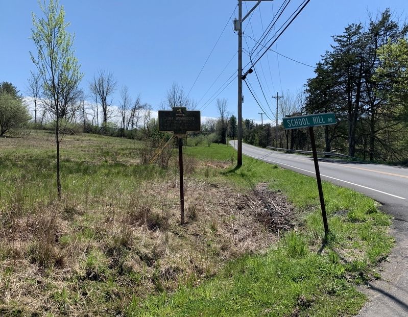
Photographed by Steve Stoessel, May 3, 2020
2. John Burroughs Marker
Credits. This page was last revised on May 5, 2020. It was originally submitted on May 3, 2020, by Steve Stoessel of Niskayuna, New York. This page has been viewed 428 times since then and 28 times this year. Photos: 1, 2. submitted on May 3, 2020, by Steve Stoessel of Niskayuna, New York. • Michael Herrick was the editor who published this page.
