Near Fredonia in Mohave County, Arizona — The American Mountains (Southwest)
A Good Drink of Water
| — | Pipe Spring National Monument | — |
Photographed by Cosmos Mariner, June 10, 2016
1. A Good Drink of Water Marker
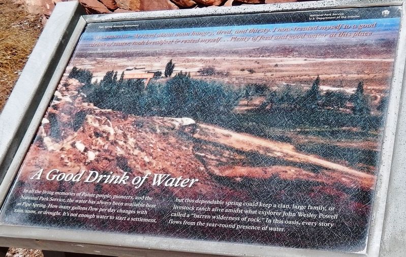
Pipe Spring 1859 — Arrived about noon hungry, tired, and thirsty. I now treated myself to a good drink of water, took breakfast & rested myself… Plenty of feed and good water at this place.
—Thales Haskell, 25-year-old Mormon frontiersman
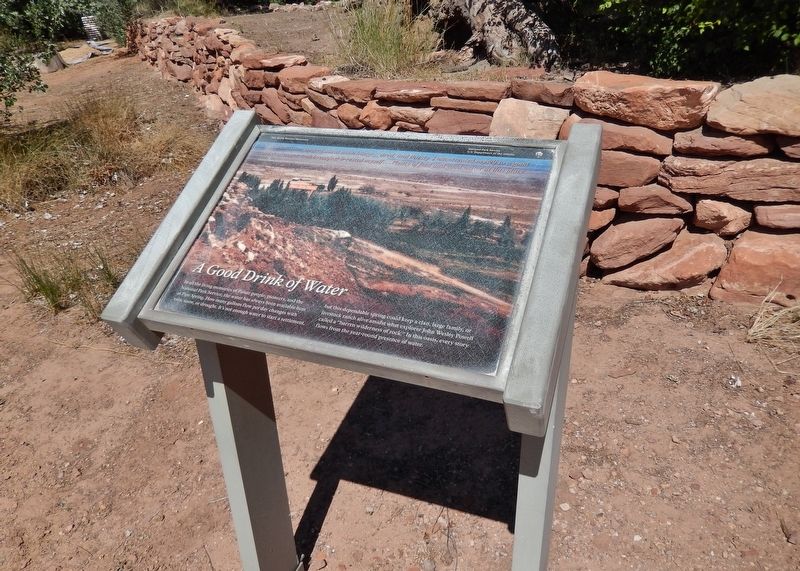
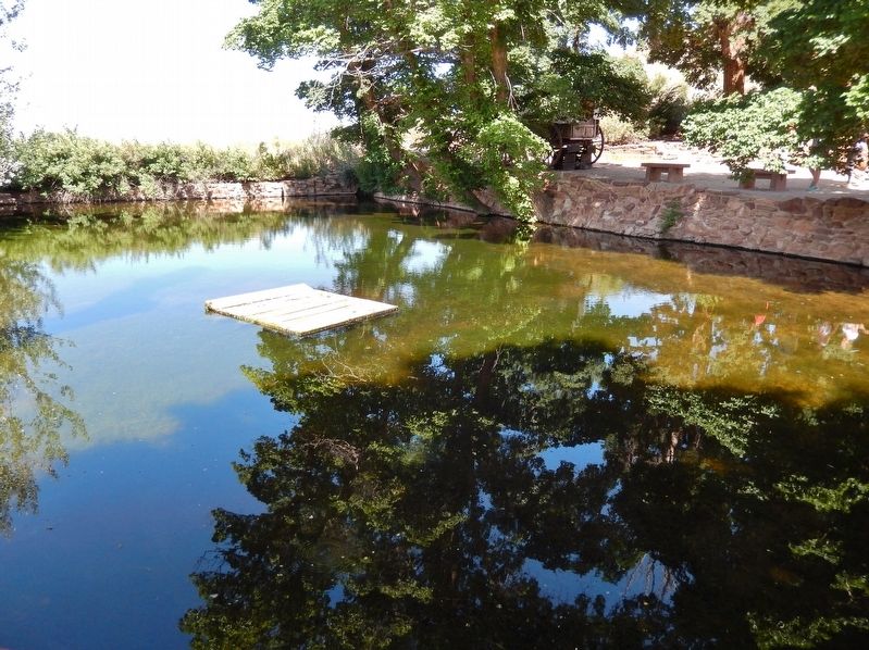
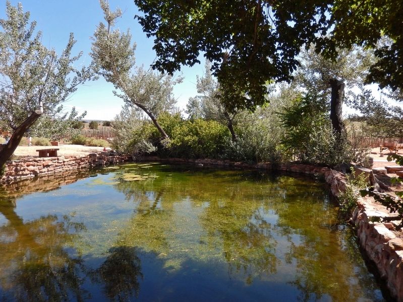
In all the living memories of the Paiute people, pioneers, and the National Park Service, the water has always been available here at Pipe Spring. How many gallons flow per day changes with rain, snow, or drought. It’s not enough water to start a settlement, but this dependable spring could keep a clan, large family, or livestock ranch alive amidst what explorer John Wesley Powell called a “barren wilderness of rock.” In this oasis, every story flows from the year-round presence of water.
Erected by National Park Service, U.S. Department of the Interior.
Topics. This historical marker is listed in these topic lists: Exploration • Indigenous Peoples and Communities • Settlements & Settlers. A significant historical year for this entry is 1859.
Location. 36° 51.778′ N, 112° 44.365′ W. Marker is near Fredonia, Arizona, in Mohave County. It can be reached from North Pipe Spring
this page online

Regionally, this marker is in the American Southwest and on the Colorado Plateau. Globally, it is in North America, the Western Hemisphere, the Western World, and the Anglosphere. Historically, it finds itself in what was once New Spain and also Mexico’s Alta California.
Other nearby markers. At least 8 other markers are within walking distance of this marker: Pipe Springs National Monument (within shouting distance of this marker); At Home in the Desert (within shouting distance of this marker); Moamop' (within shouting distance of this marker); 995 Miles of Wire (within shouting distance of this marker); A Tithing Ranch (within shouting distance of this marker); Yoowuv' (within shouting distance of this marker); A Thousand Years of Gardens (within shouting distance of this marker); When the Good Grass Goes
Photographed by Cosmos Mariner, June 10, 2016
2. A Good Drink of Water Marker
Related markers. Click here for a list of markers that are related to this marker. Pipe Spring National Monument
Also see . . . A visit to pioneer oasis: Arizona's Pipe Spring. Deseret News website entry:
Surveyors working with explorer John Wesley Powell would discover that Pipe Spring was not in Utah. The location is actually about 9 miles south of the Utah-Arizona border and the 37th Parallel. He recognized Pipe Spring as an oasis. That is what it was to pre-historic hunter-gathers, ancestral Puebloan peoples and to the Kaibab Paiute, who still call the area home. In the mid-1800s, Pipe Spring became a valuable waterhole for Mormon pioneers and cattle ranchers, who built the fortified ranch upon the site. (Submitted on May 5, 2020, by Cosmos Mariner of Cape Canaveral, Florida.)
Photographed by Cosmos Mariner, June 10, 2016
3. Pipe Spring (view from near marker)
Photographed by Cosmos Mariner, June 10, 2016
4. Pipe Spring (view from near marker)

Photographed by Tom Bosse, July 23, 2024
5. A Good Drink of Water Marker

Photographed by Tom Bosse, July 23, 2024
6. Pipe Spring (view from near marker)

Photographed by Tom Bosse, July 23, 2024
7. A Good Drink of Water Marker
Credits. This page was last revised on September 21, 2024. It was originally submitted on May 4, 2020, by Cosmos Mariner of Cape Canaveral, Florida. This page has been viewed 378 times since then and 24 times this year. Photos: 1. submitted on May 4, 2020, by Cosmos Mariner of Cape Canaveral, Florida. 2, 3, 4. submitted on May 5, 2020, by Cosmos Mariner of Cape Canaveral, Florida. 5, 6, 7. submitted on September 6, 2024, by Tom Bosse of Jefferson City, Tennessee.
