Near Fredonia in Mohave County, Arizona — The American Mountains (Southwest)
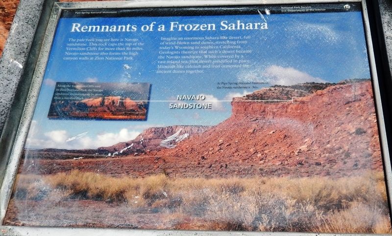
Remnants of a Frozen Sahara
— Pipe Spring National Monument —
Imagine an enormous Sahara-like desert, full of wind-blown sand dunes, stretching from today’s Wyoming to southern California. Geologists theorize that such a desert became the Navajo sandstone. When covered by a vast inland sea, that desert solidified in place. Minerals like calcium and iron cemented the ancient dunes together.
Erected by National Park Service, U.S. Department of the Interior.
Topics. This historical marker is listed in this topic list: Natural Features.
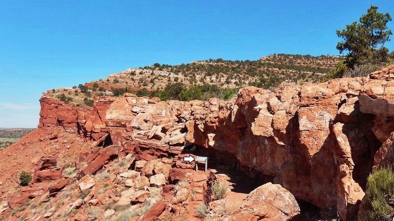
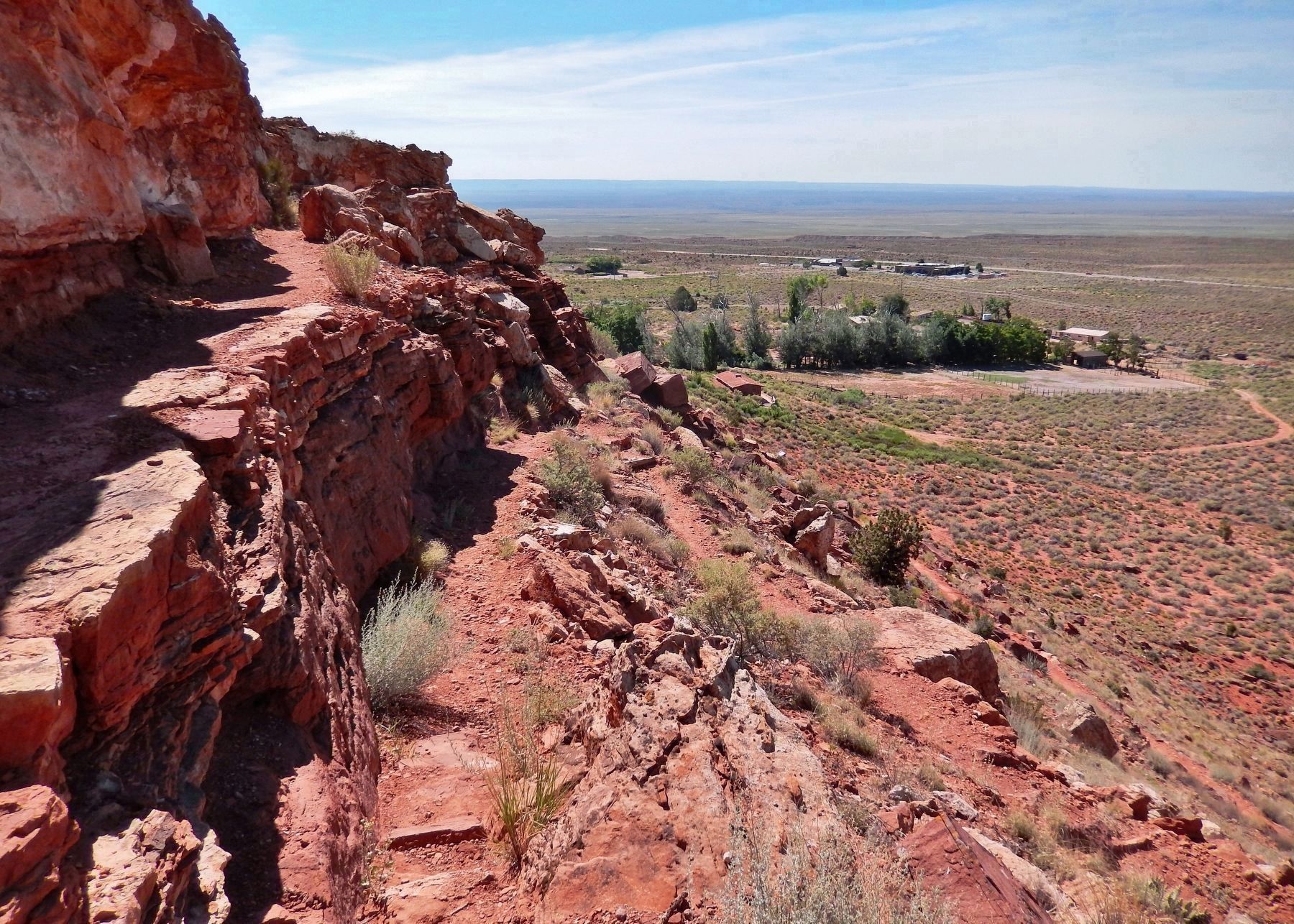
Location. 36° 51.86′ N, 112° 44.509′ W. Marker is near Fredonia, Arizona, in Mohave County. Marker can be reached from North Pipe Spring Road, 0.3 miles north of Arizona Route 389, on the left when traveling north. Marker is located along the Ridge Trail in Pipe Spring National Monument. Touch for map. Marker is at or near this postal address: 406 North Pipe Spring Road, Fredonia AZ 86022, United States of America. Touch for directions.
Other nearby markers. At least 8 other markers are within walking distance of this marker. Cut Off By The Grand Canyon (a few steps from this marker); Plateau Country Trees (a few steps from this marker); Tup' (within shouting distance of this marker); Suh-uhv' (within shouting distance of this marker); Boundaries and Fencing (within shouting distance of this marker); Oos'eev (within shouting distance of this marker); Kwi'-uv (within shouting distance of this marker); Boulders to Building Blocks (within shouting distance of this marker). Touch for a list and map of all markers in Fredonia.
Related markers. Click here for a list of markers that are related to this marker. Pipe Spring National Monument
Also see . . . Pipe Spring National Monument Hydrogeology. Several springs quietly emerge near the contact of the Navajo Sandstone and Kayenta Formation along the Sevier Fault at Pipe Spring National Monument. Sandstone strata to the north overlie impermeable shale and mudstone layers. This geological configuration allows surface rain and snowmelt to infiltrate the groundwater aquifer and flow southward along the west side of the Sevier Fault. The springs emerge where fault movement has blocked downward groundwater flow along the fault, or where erosion has removed the impermeable layers. (Submitted on May 5, 2020, by Cosmos Mariner of Cape Canaveral, Florida.)
Credits. This page was last revised on May 7, 2020. It was originally submitted on May 4, 2020, by Cosmos Mariner of Cape Canaveral, Florida. This page has been viewed 146 times since then and 12 times this year. Photos: 1, 2, 3, 4. submitted on May 5, 2020, by Cosmos Mariner of Cape Canaveral, Florida.


