
Near Fredonia in Mohave County, Arizona — The American Mountains (Southwest)
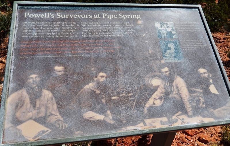
Powell’s Surveyors at Pipe Spring
| — | Pipe Spring National Monument | — |
Photographed by Cosmos Mariner, June 10, 2016
1. Powell’s Surveyors at Pipe Spring Marker
I have prided myself on being able to grasp and retain in my mind the topography of a country; but these Indians put me to shame… They know every rock and every ledge, every gulch and canyon, and just where to wind among these to find a pass; and their knowledge is unerring.
—John Wesley Powell, United States Geological and Geographical Survey of the Territories
Kaibab Paiute leader Chuarrumpeak
Chuarrumpeak lived near Kanab Creek. He often guided Powell through these plateaus and canyons. Most of the names Powell recorded for landscape features in this area are Paiute names.
Major Powell
John
this page online
Erected by National Park Service, U.S. Department of the Interior.
Topics. This historical marker is listed in these topic lists: Exploration • Indigenous Peoples and Communities. A significant historical year for this entry is 1872.
Location. 36° 51.863′ N, 112° 44.435′ W. Marker is near Fredonia, Arizona, in Mohave County. It can be reached from North Pipe Spring Road 0.3 miles north of Arizona Route 389, on the left when traveling north. Marker is located along the Ridge Trail in Pipe Spring National Monument. Touch for map. Marker is at or near this postal address: 406 North Pipe Spring Road, Fredonia AZ 86022, United States of America. Touch for directions.

Regionally, this marker is in the American Southwest and on the Colorado Plateau. Globally, it is in North America, the Western Hemisphere, the Western World, and the Anglosphere. Historically, it finds itself in what was once New Spain and also Mexico’s Alta
Photographed by Cosmos Mariner, June 10, 2016
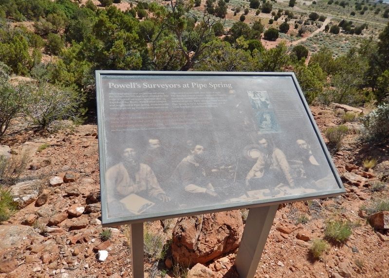
2. Powell’s Surveyors at Pipe Spring Marker
Other nearby markers. At least 8 other markers are within walking distance of this marker: A New National Monument (within shouting distance of this marker); Stephen Tyng Mather (within shouting distance of this marker); Kwi'-uv (within shouting distance of this marker); Oos'eev (within shouting distance of this marker); Tup' (about 300 feet away, measured in a direct line); Suh-uhv' (about 300 feet away); Boulders to Building Blocks (about 300 feet away); Plateau Country Trees (about 300 feet away). Touch for a list and map of all markers in Fredonia.
Related markers. Click here for a list of markers that are related to this marker. Pipe Spring National Monument
Also see . . .
1. Powell’s Surveyors at Pipe Spring. (A National Park Service link for this marker.) (Submitted on May 6, 2020, by Cosmos Mariner of Cape Canaveral, Florida.)
2. The J.W. Powell Survey (1871-1894). The J. W. Powell Survey unofficially began in 1867 when Powell led a small team of mountain men down the Colorado River and through the Grand Canyon for the first time in history. In 1870, Congress officially established
Photographed by Cosmos Mariner, June 10, 2016
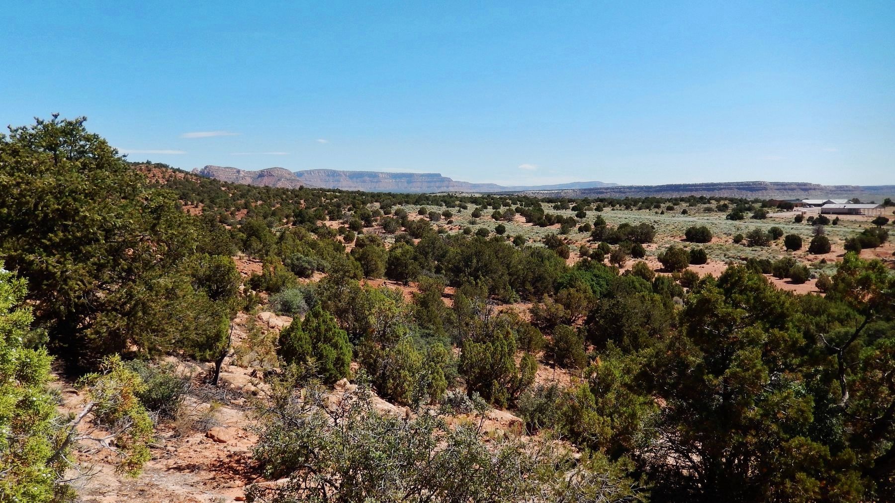
3. Vermillion Cliffs (view from near marker)

Photographed by Tom Bosse, July 23, 2024
4. Powell’s Surveyors at Pipe Spring Marker
Photographed by Tom Bosse, July 23, 2024
5. Powell’s Surveyors at Pipe Spring Marker
Credits. This page was last revised on September 21, 2024. It was originally submitted on May 5, 2020, by Cosmos Mariner of Cape Canaveral, Florida. This page has been viewed 451 times since then and 23 times this year. Photos: 1. submitted on May 5, 2020, by Cosmos Mariner of Cape Canaveral, Florida. 2, 3. submitted on May 6, 2020, by Cosmos Mariner of Cape Canaveral, Florida. 4, 5. submitted on September 6, 2024, by Tom Bosse of Jefferson City, Tennessee.
