Hopewell, Virginia — The American South (Mid-Atlantic)
Resistance and Punishments
Petersburg National Battlefield
| — | National Park Service, U.S. Department of the Interior | — |
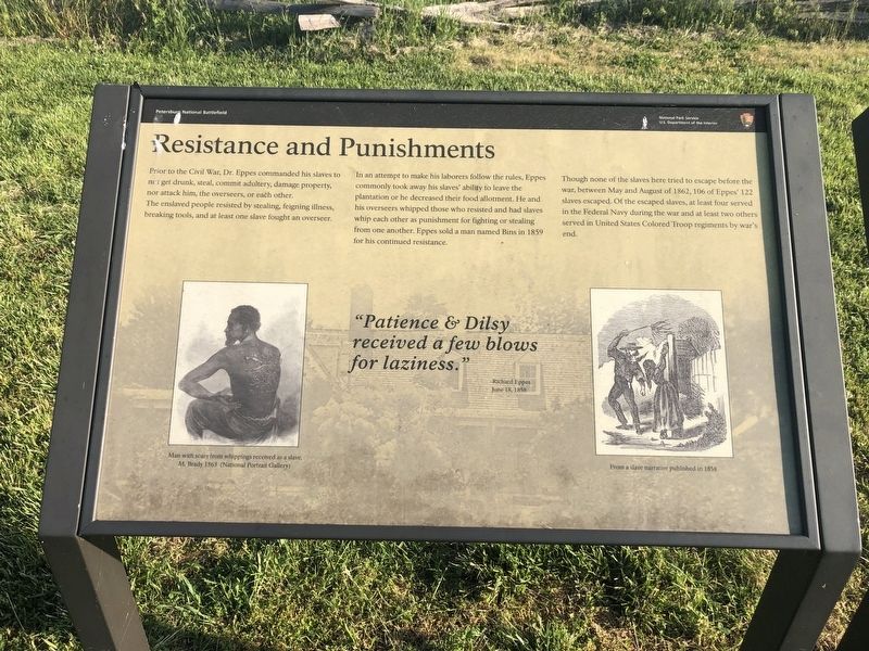
Prior to the Civil War, Dr. Eppes commanded his slaves to not get drunk, steal, commit adultery, damage property, nor attack him, the overseers, or each other. The enslaved people resisted by stealing, feigning illness, breaking tools, and at least one slave fought an overseer.
In an attempt to to make his laborers follow the rules, Eppes commonly took away his slaves' ability to leave the plantation or he decreased their food allotment. He and his overseers whipped those who resisted and had slaves whip each other as punishment for fighting or stealing from one another. Eppes sold a man named Bins in 1859 for his continued resistance.
Though none of the slaves here tried to escape before the war, between May and August 1862, 106 of Eppes' 122 slaves escaped. Of the escaped slaves, at least four served in the Federal Navy during the war and at least two others served in the United States Colored Troops regiments by war's end.
"Patience & Dilsey received a few blows for laziness."
–Richard Eppes
June 1858
[Captions:]
Man with scars from whippings received as a slave.
M. Brady 1863 (National Portrait Gallery)
From a slave narrative published in 1858
Erected by National
this page online
Topics. This historical marker is listed in these topic lists: African Americans • Agriculture • War, US Civil. A significant historical month for this entry is June 1858.
Location. 37° 19.043′ N, 77° 16.652′ W. Marker is in Hopewell, Virginia. It can be reached from the intersection of Pecan Avenue and Cedar Lane, on the right when traveling west. Touch for map. Marker is at or near this postal address: 1001 Pecan Ave, Hopewell VA 23860, United States of America. Touch for directions.

Regionally, this marker is in Central Virginia. It is also in the American South, specifically in the Upper South, and on the Eastern Seaboard. Globally, it is in the North Atlantic Region, North America, the Western Hemisphere, the Western World, and the Anglosphere. Historically, it finds itself in what was once the territory of the Mississippian Culture, one of the original Thirteen Colonies, one of the Confederate States of America, and the Antebellum South.
Other nearby markers. At least 8 other markers are within walking distance of this marker: Beyond the Big House (here, next to
Photographed by Devry Becker Jones (CC0), May 8, 2020
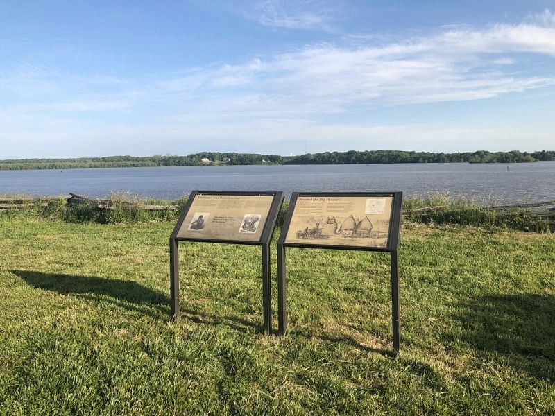
2. Resistance and Punishments Marker
The marker is on the left.
Other markers no longer nearby. A Supply Hub (was about 500 feet away but has been replaced with another marker now near it); City Point (was about 700 feet away but has been replaced with another marker now near it); The Peacemaker (was about 700 feet away but has been replaced with another marker now near it).
Additional keywords. human trafficking, USCT, slavery
Credits. This page was last revised on March 2, 2022. It was originally submitted on May 9, 2020, by Devry Becker Jones of Washington, District of Columbia. This page has been viewed 450 times since then and 22 times this year. Photos: 1, 2. submitted on May 9, 2020, by Devry Becker Jones of Washington, District of Columbia.
